displaying 919 results
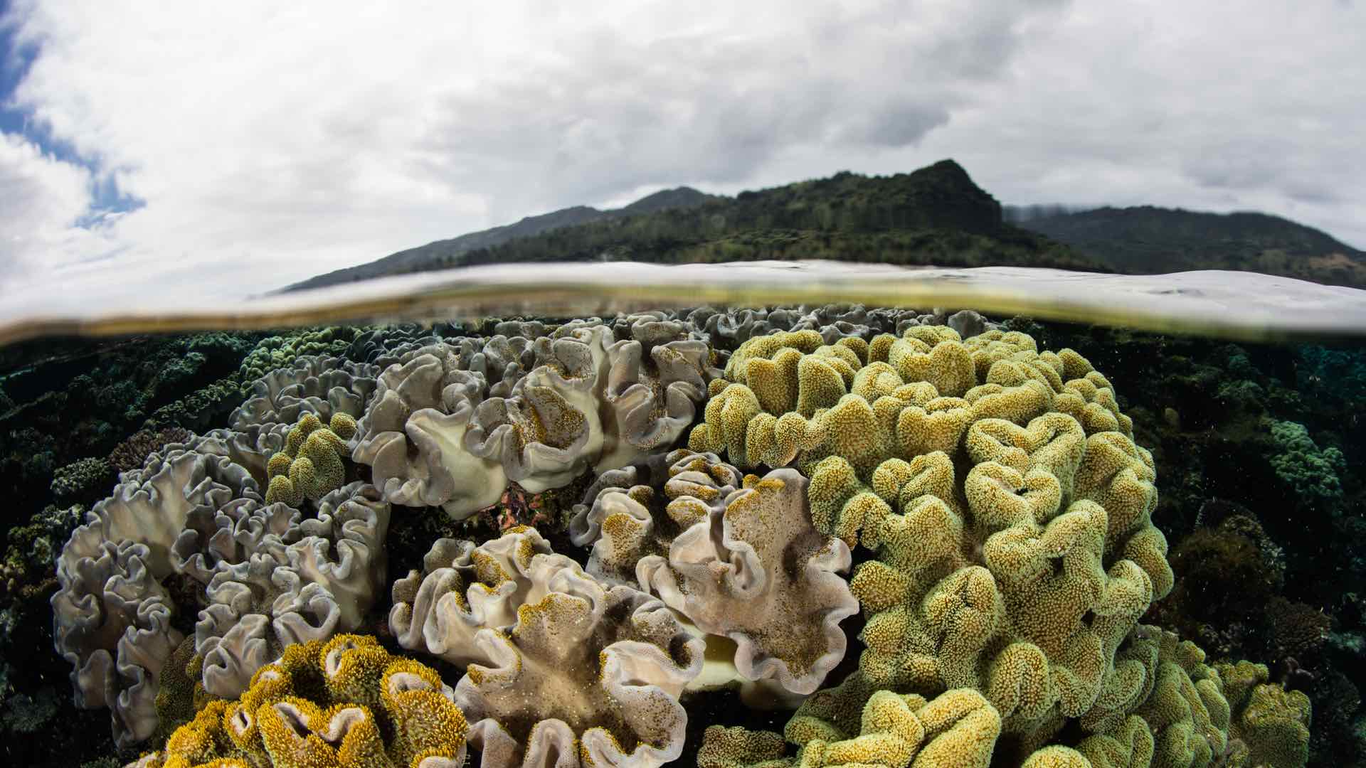
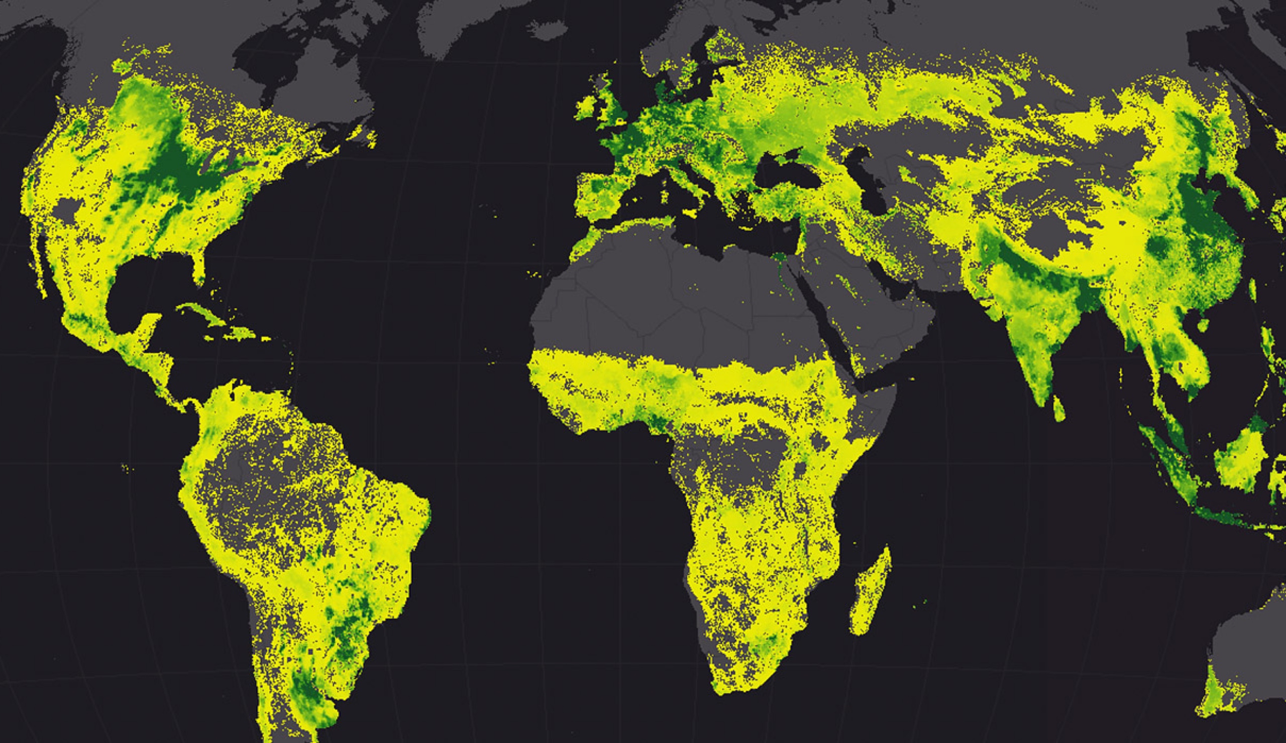
Fiji uses GIS and remote sensing to understand and predict climate change in order to reduce the impact to its people and economy.

GIS helps track the movement of geomagnetic north and to calculate the change in order to improve navigation.
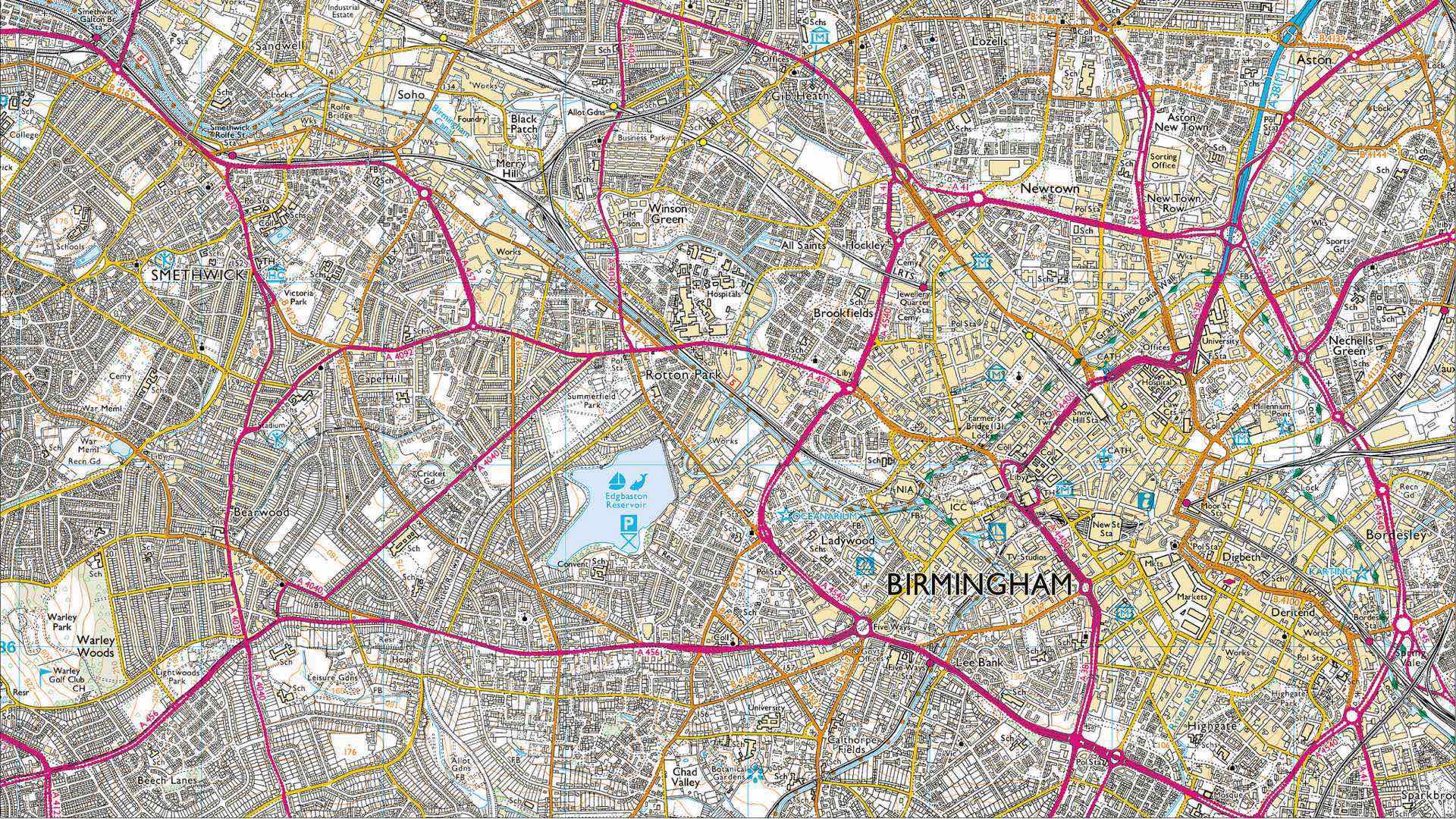
Ordnance Survey continues its role as the world's leading mapping agency by embracing innovation through automation.
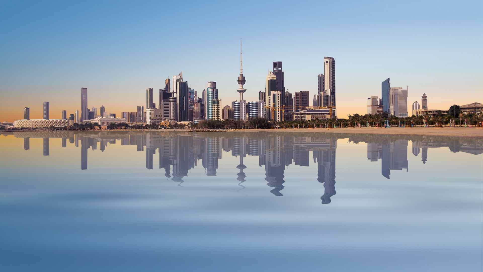
Kuwait is heavily investing in GIS implementation with an emphasis on building national GIS expertise.
The Cumberland Trails Conference uses maps and apps to combine fragmented habitats into a network of trails and wildlife corridors.
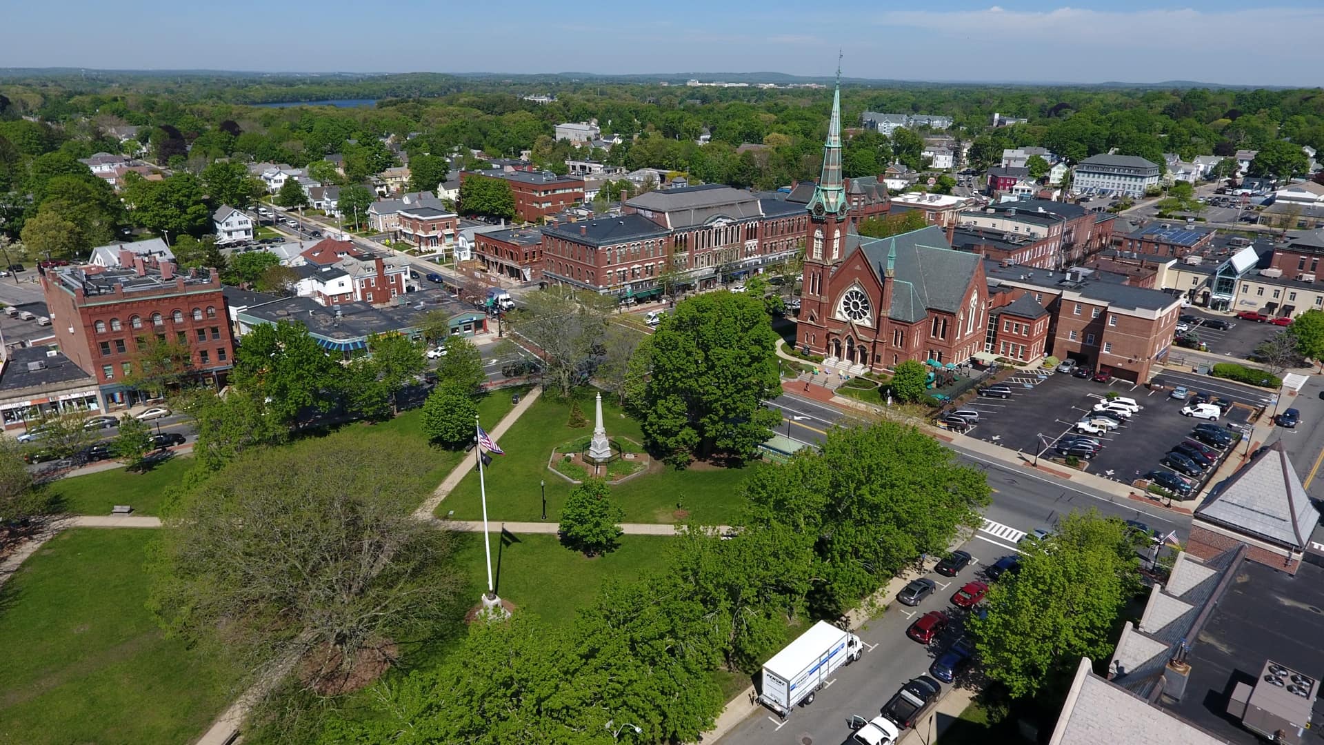
The Town of Natick deploys drones for a host of applications, improving the safety of staff while also filling in gaps in understanding.

Small public utilities leverage GIS to better manage their water networks-going from reactive to proactive.
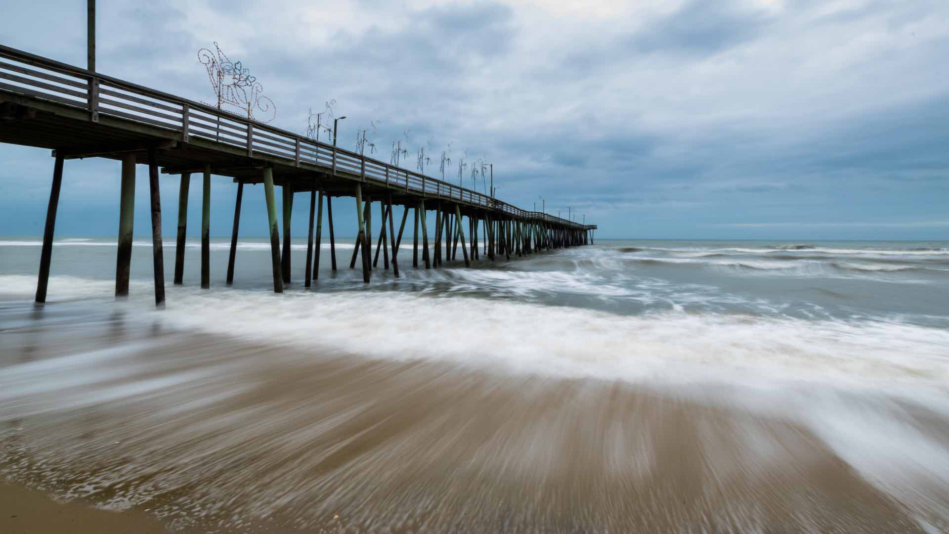
Journalists sponsored the ‘Catch the King’ crowdsourcing event that rallied citizens to capture sea level rise data using an app on their phones.
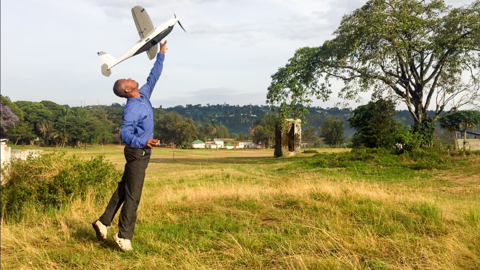
WeRobotics pioneers drone use and spatial analysis for social good in remote regions.

The Trust for Public Land partners with cities nationwide to transform vacant land into parks, always factoring in equity.
Humans have never been more connected, and our modern maps are a key connector.
Check out this restoration project developed for native wetland vegetation in the Swan River National Wildlife Refuge in Montana.