The Esri Brief
Get location tech news in your inbox
Trending articles


It’s not a bird, or a plane, per se. It might finally be dinner, though. After years of research, testing, and regulatory changes, the idea of airborne drone deliveries for groceries and other goods is closer to reality.
Grocery giant Kroger announced in May it would begin a pilot program to deliver groceries by drone from a store near its Cincinnati headquarters. That and other announcements have been sparked in part by recent FAA rule changes that permit small drones to fly above populated areas, allowing them to reach more destinations and increasing the likelihood of doorstep drop-offs in the US.
The FAA’s changes spotlight a heightened need for precision. A drone can’t merely get close to an address; it must reach its destination exactly and safely while navigating an aerial terrain filled with potential obstacles. That’s where location intelligence comes in.
Close Won’t Cut It for Drone Delivery
While it may have felt like a future of drone deliveries was just around the corner, the deliveries that have been made by unmanned aerial vehicles to date—including medical supplies, burritos, and pizza—have often taken place outside the United States or under tight testing parameters in limited geographic areas. Still, forward-thinking cities and companies are making inroads by mapping the highways drones will eventually travel in the sky.
The FAA’s adjusted rules signal the agency could be open to expanding aerial drone deliveries, whether that means companies ferrying takeout lunches, life-saving medicine, or the latest gadget. Businesses looking to integrate drones into consumers’ daily lives will find location awareness critical to that work.
With a geographic information system (GIS), drone-flying companies can create the operational awareness to track where an aircraft is, where exactly it needs to go, what might get in the way, and what to do if an obstacle sets it off course.
That location awareness will be key to assuaging fears that the small aircraft could collide or drop their payloads where they shouldn’t, ensuring some peace of mind for both consumers and companies.

Precision and accuracy will be essential for drones to safely deliver to homes and businesses, especially in populated areas.
Targeted Delivery through Geocoding
Researchers from the University of Southern California’s Spatial Sciences Institute say advances in technology, as well as lighter aircraft, have made it easier for fully autonomous drones to “navigate chaotic environments.” GIS data maintained by local governments can already help quantify risks that might exist on the ground, including the locations of schools, hospitals, government buildings, helicopter pads, airports, and stadiums. Other relevant location data includes information about restricted airspace, land use, population density at different times of the day, rights-of-way, and local ordinances. The airspace designers of the future may even use GIS to create drone corridors or modify flight plans and reservations based on volume and impact on the community below.
GIS technology is also making it possible for drone deliveries to reach their exact target, not just land nearby.
Any company that has used customer addresses from a CRM database to send mailers or conduct demographic analysis knows the information may not always be sufficiently exact. Geocoding—using GIS to convert addresses into correct coordinates on a map—has helped logistics companies and delivery drivers improve their performance and accuracy. Since close won’t be good enough for sky-sent deliveries, location technology will be key to safe, precise operations.
Location Is Key, from Takeoff to Drop-Off
One company already using location intelligence to help drones fly safely is Airspace Link. The Detroit-based startup has worked with the FAA to create the UAS Data Exchange, and created programs that allow drone operators to plan flight paths and seek FAA approval from within an app. The company has also been involved in the Detroit Region Aerotropolis, a project aimed at boosting trade corridors in and out of the city, on the ground and in the sky.
Airspace Link, Kroger, and other innovative companies stand to benefit from FAA rule changes that loosen drone flight restrictions, which will raise the bar on location precision in the process.
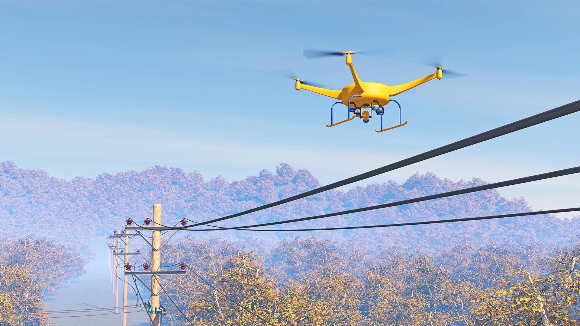
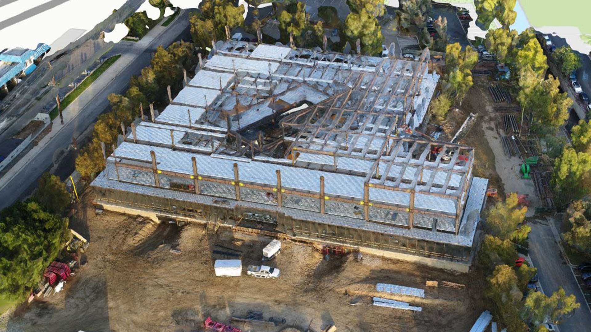
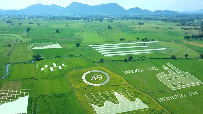
According to Reuters, there were more than 1.7 million drones registered in the US as of December 2020, and approximately 203,000 FAA-certified drone pilots. Many of those unmanned aerial vehicles are already at work in industries that simply need a birds-eye view, like companies inspecting power lines or construction sites, agriculture operations spraying fields, and real estate photographers showing off residential or commercial properties.
Location matters in those cases, too, but being able to land on a target beyond a pilot’s line of sight, or fully autonomously, will be the next important step–and one that’s only possible with precision location intelligence.
To learn how location software facilitates drone flight plans, imagery capture, and more, visit this informational page.