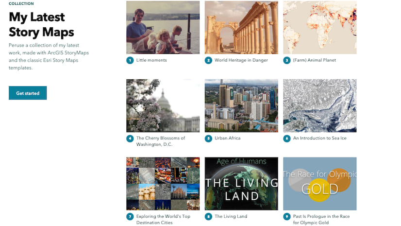
ArcGIS StoryMaps helps you tell remarkable stories with custom maps that inform and inspire. A story can effect change, influence opinion, and create awareness—and maps are an integral part of storytelling. ArcGIS StoryMaps can give your narrative a stronger sense of place, illustrate spatial relationships, and add visual appeal and credibility to your ideas.
ArcGIS StoryMaps is updated regularly with new features and capabilities. Read on to learn about what’s been added this month and what’s coming next year.
- 3D map tours
- Use map actions with express maps
- Customize swipe legend titles
- Upload PDFs to a collection
- And more…
- What’s coming in 2022?
Map tours…in 3D!
Have you ever yearned to make a map tour in 3D? Now you can! It’s as easy as hopping into the Map options and toggling from 2D to 3D mode.
3D tour mode is currently in beta. It’s stable and tested, but we’re looking for feedback about how you like the experience of creating and viewing tours in 3D. Please let us know what you think by dropping us a note on the Esri Community.
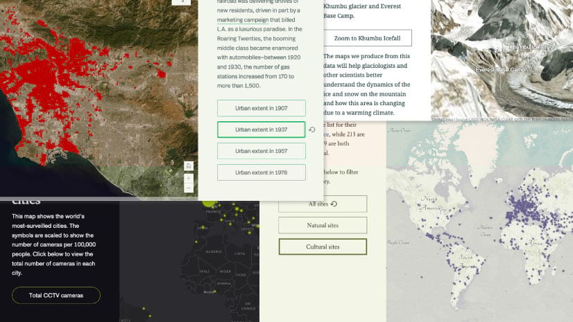
Use map actions with express maps
Express maps help you quickly create simple maps in your stories. Map actions are configurable toggle buttons or links that change the map when a reader clicks them. You can now use these two powerful storytelling features together! It’s easy to add map actions to any sidecar slide that contains a map, which includes an ArcGIS web map, an ArcGIS web scene, and even an express map created right in the story builder.
Adding an express map action to a story enables you to automatically navigate the map to specific places. That means your audience doesn’t need to worry about fiddling with the map—they are free to sit back and enjoy your story.
Check out the video below to see an example of using link-style map actions. (Of course, you can use button-style actions with express maps, too.)
Being able to use map actions with express maps unlocks new storytelling possibilities for you and your audience. And in case you missed it, ArcGIS StoryMaps recently added two other related features: you can use map actions in large paragraphs and duplicate sidecar slides with express maps to use them in map choreography.
For more about map choreography and how it can help you take your stories to the next level, see Choreograph your maps with ArcGIS StoryMaps.
Customize swipe legend titles
To improve the look of your swipe legend you can update the title of each map to better reflect the content in your story or to just make the titles more concise. Open the Swipe options and you’ll see the map names are editable. Remember, you can show one or both titles in the legend, depending on what makes sense for your story.
Upload PDFs to a collection
Collections are a great way to group together a set of stories that you want to share as a set. In addition to stories, you can also add other types of items to a collection as supporting content. This previously included ArcGIS apps and websites, and last month we added the ability to add images and videos directly to a collection. And now you can upload PDFs to a collection.
You can also link to a PDF on the web using the Embed option. Sometimes, however, web-hosted PDF files don’t always support the required web security protocols to permit embedding. If that’s the case, you can upload the PDF directly to your collection with the new capability described above. Of course you should always make sure you have permissions to use any media or documents you use in your stories or collections.
And more…
We’ve improved several things related to thumbnails and also fixed a few issues. You can review the release notes for a complete list of updates and fixes in every update.
What’s coming in 2022?
Finally, we couldn’t resist leaving you with a tiny sneak peek at some of the new features and enhancements we’re already working for ArcGIS StoryMaps.
Here are a few things to look forward to in the new year…
- More options for publishing and sharing themes
- Compare two express maps using the swipe block
- Undo/redo
We’re also working on a retooled text editor with many additions and improvements including superscript/subscript, multi-level lists, a new hyperlink configuration experience, formatting shortcuts, better copy/paste, and more…
Thanks to StoryMaps editorial team member Will Hackney for his contributions to this post.
Banner photo by Catarina Sousa from Pexels


Article Discussion: