June 2026 update summary
The updates include smarter content management, richer data and imagery options, streamlined workflows, and more dynamic mapping and sharing capabilities.

Powerful web GIS for mapping, analysis, and collaboration
ArcGIS Online empowers users across your organization with intuitive tools for mapping, visualization, analysis, and data sharing. Designed with flexibility and ease of use in mind, it provides a trusted foundation for turning location data into insight.

These represent a small portion of the available capabilities in ArcGIS Online.

Create immersive experiences that turn static maps into interactive tools for exploring and understanding data from multiple perspectives.
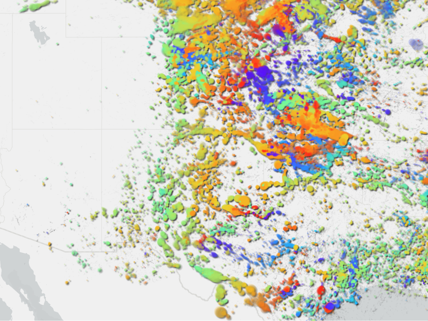
Import and display location-based information from a wide variety of file formats without manual conversion or data transformation.
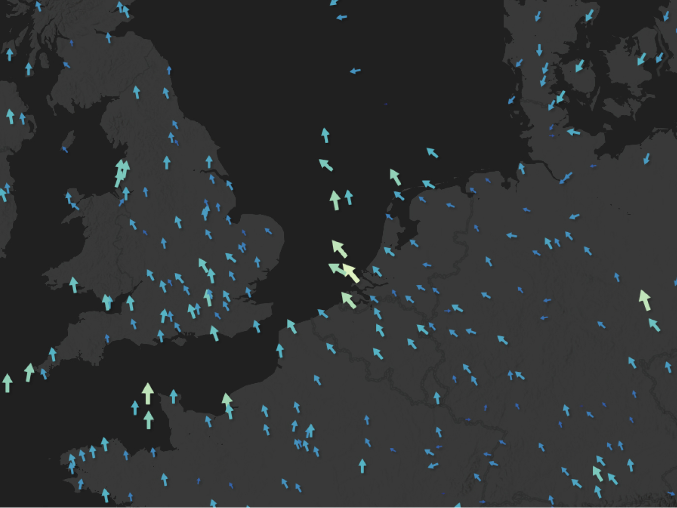
Stream real-time data directly from internet-connected devices and sensors to monitor changing conditions as they happen.
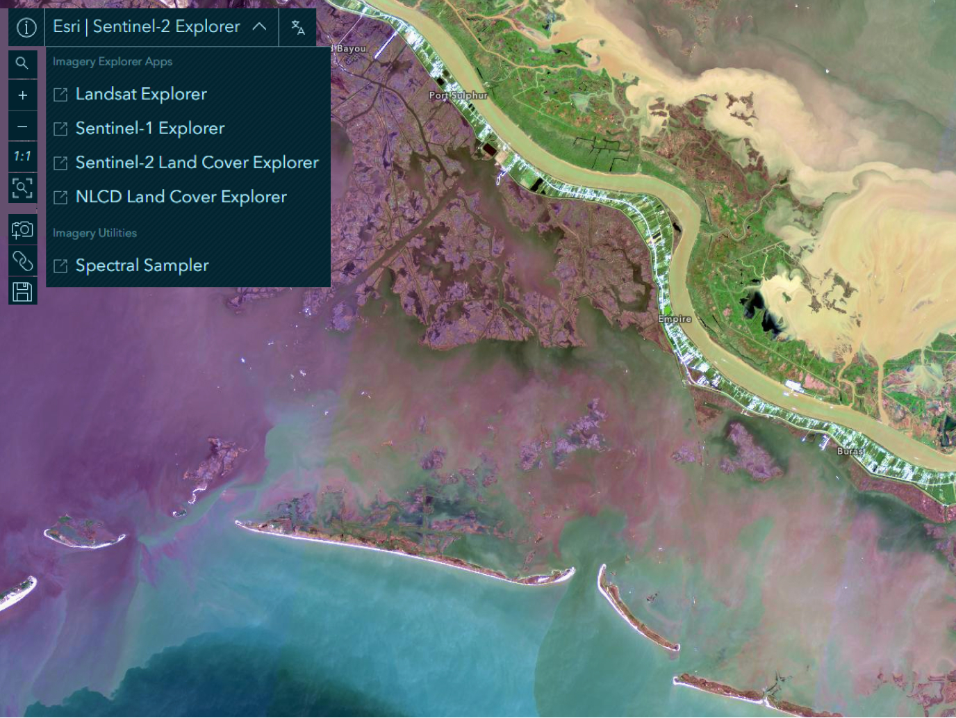
Access a curated library of verified geographic resources created by Esri and the global GIS community.
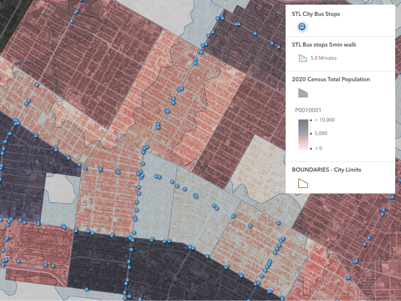
Analyze the geographic relationships between different features to reveal how location influences connections and interactions.
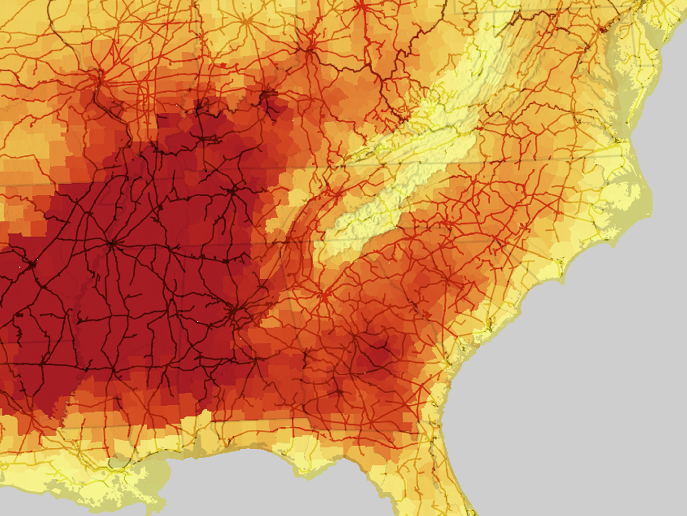
Combine datasets based on their geographic proximity and incorporate environmental factors to uncover hidden trends and correlations.

Apply location intelligence to determine optimal sites for facilities or calculate the most efficient paths between destinations.
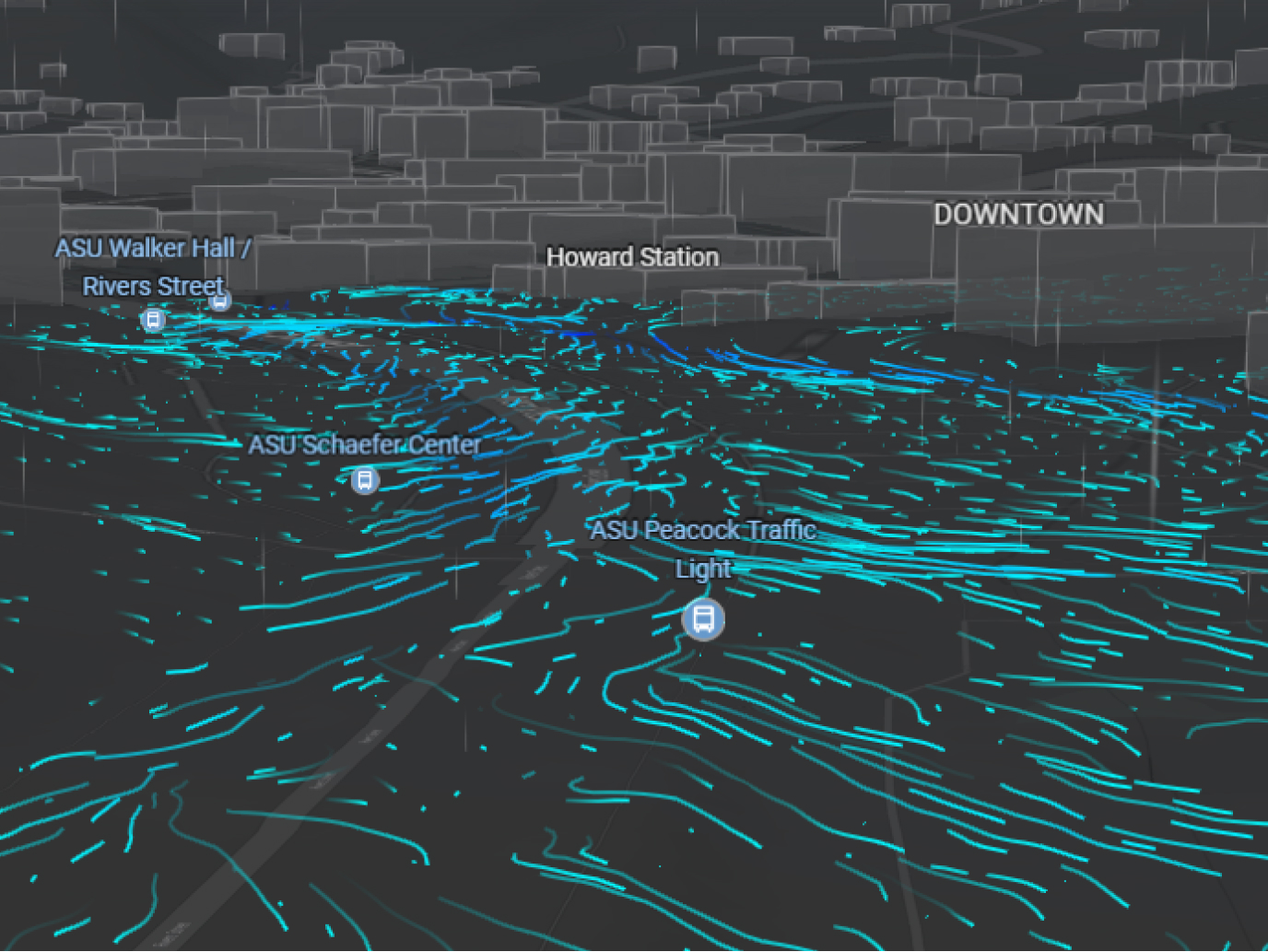
Model alternative futures by adjusting variables and running simulations to anticipate results before making decisions.
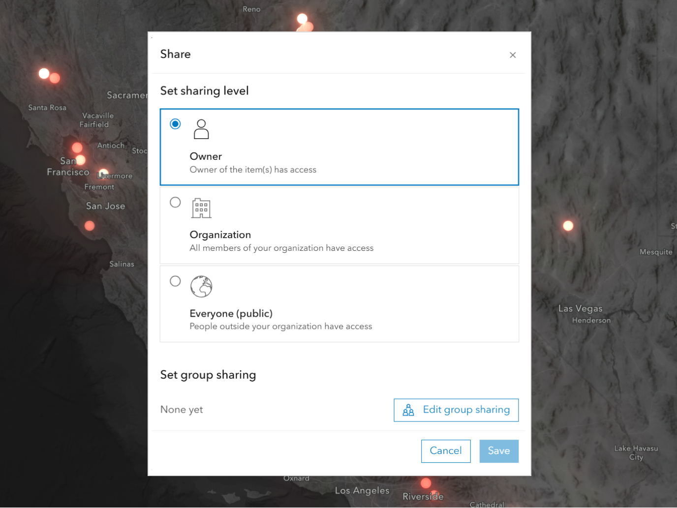
Control access permissions to ensure the right people see the right information while protecting sensitive geographic data.

Store all spatial information in a single authoritative source with built-in validation to ensure accuracy and consistency.

Flexibly connect with existing business platforms and use industry-standard formats.
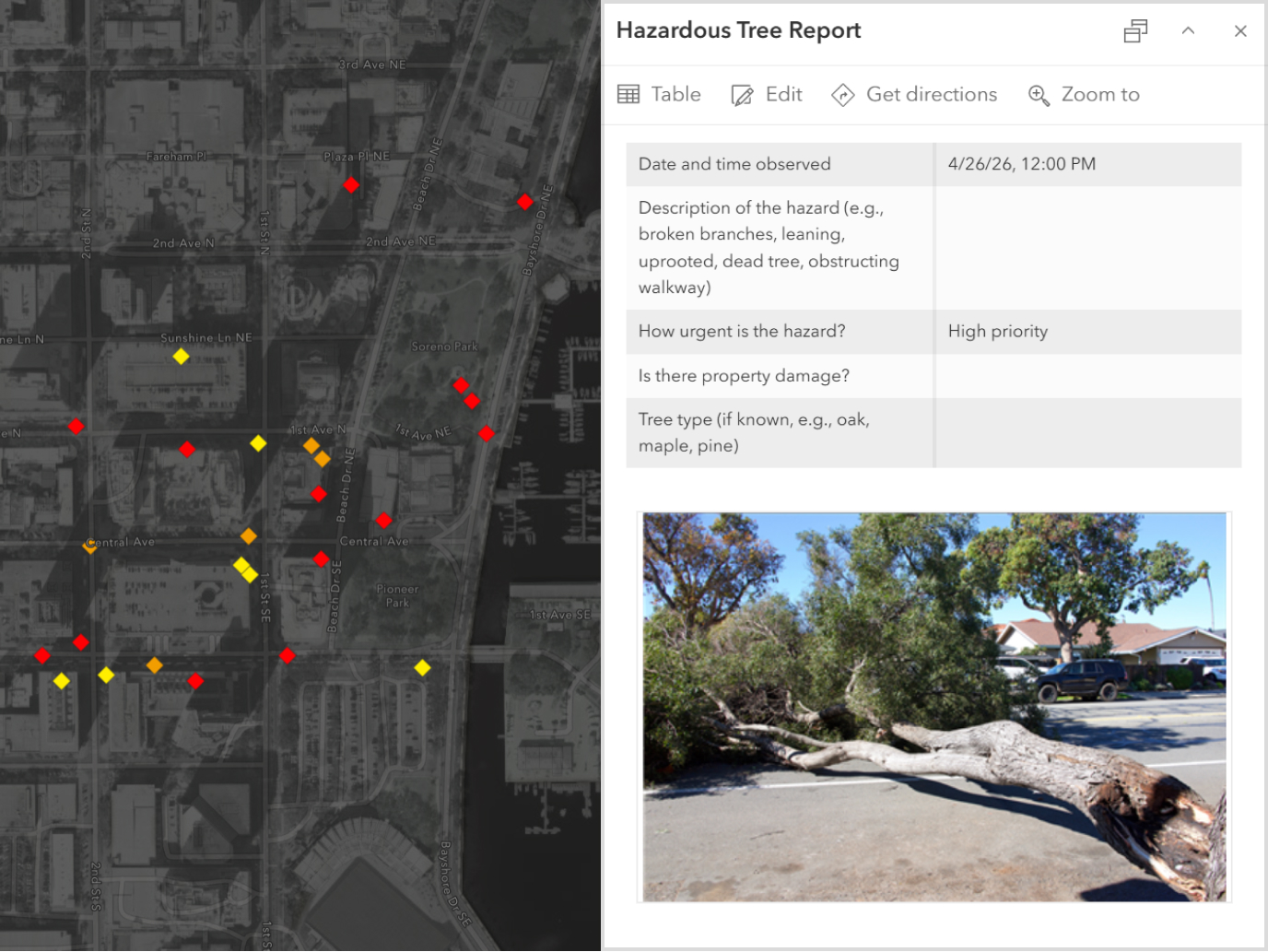
Gather information in the field even without internet connectivity, then automatically sync updates when connections are restored.

Distribute maps, analysis results, and geographic insights to stakeholders across any device or platform.
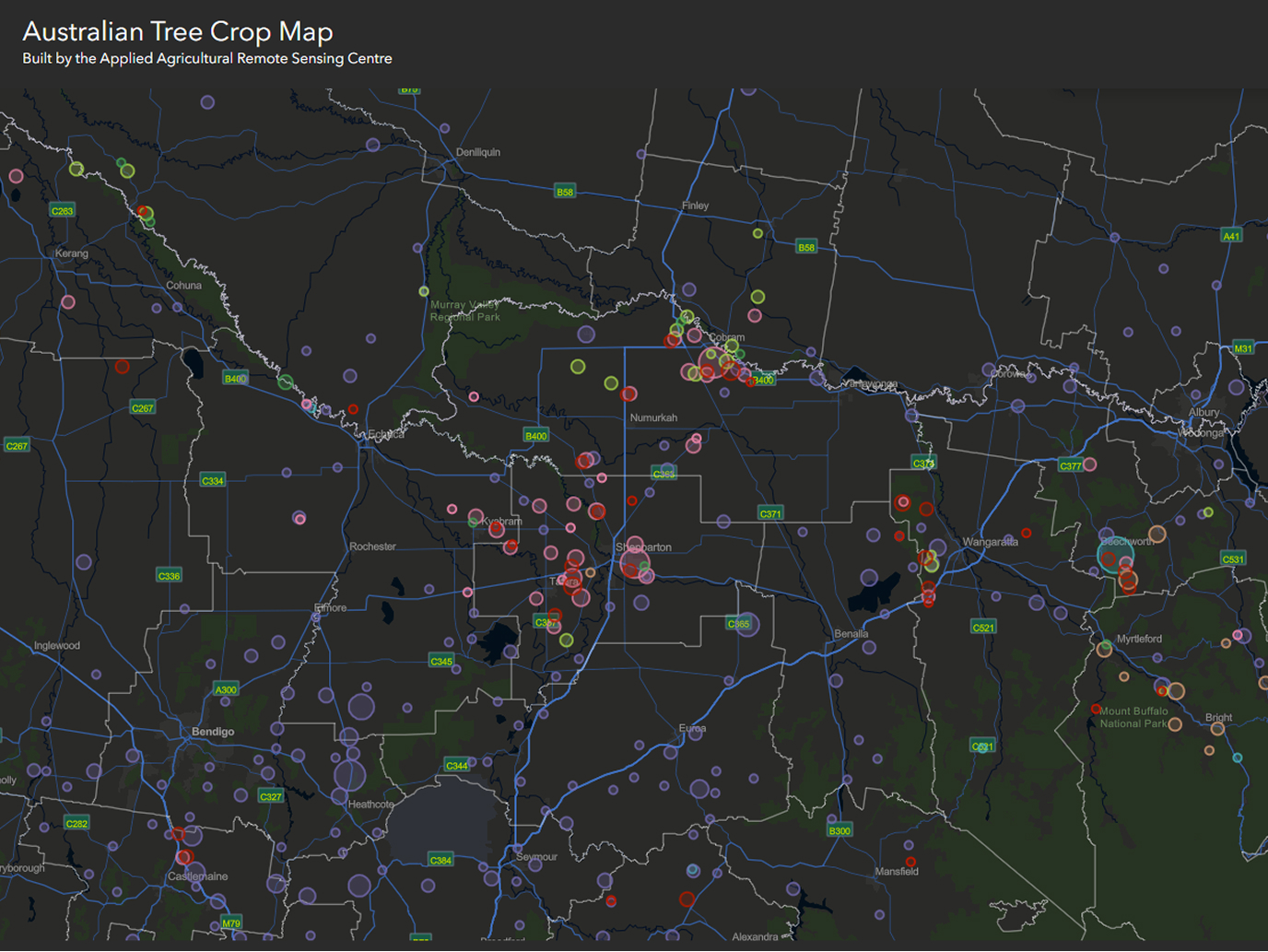
Work from the most current information even when working remotely without connectivity.
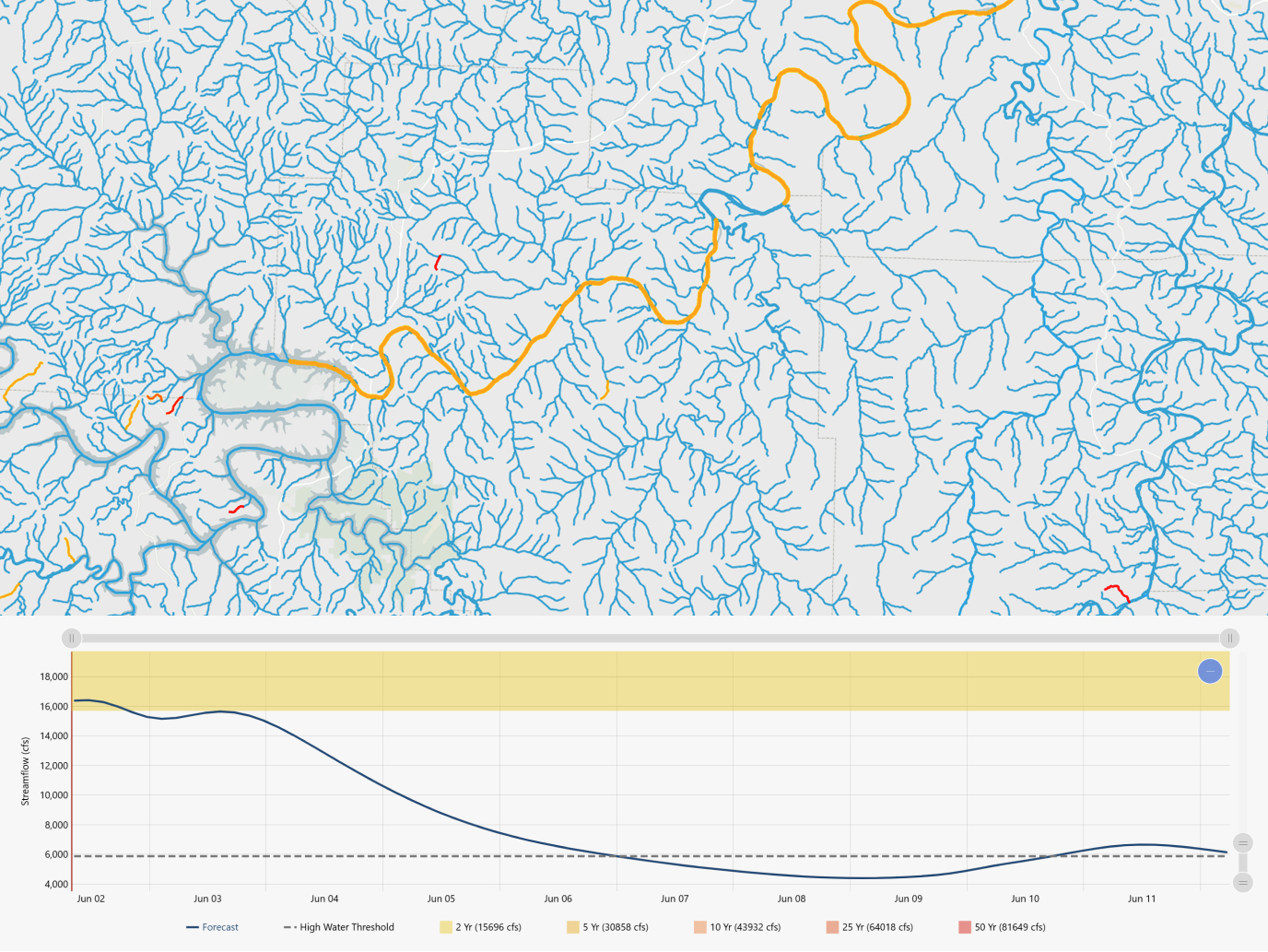
Create solutions through intuitive drag-and-drop interfaces or develop custom applications.

Deploy your GIS infrastructure in the cloud, on your own servers, or in a combination of both environments.
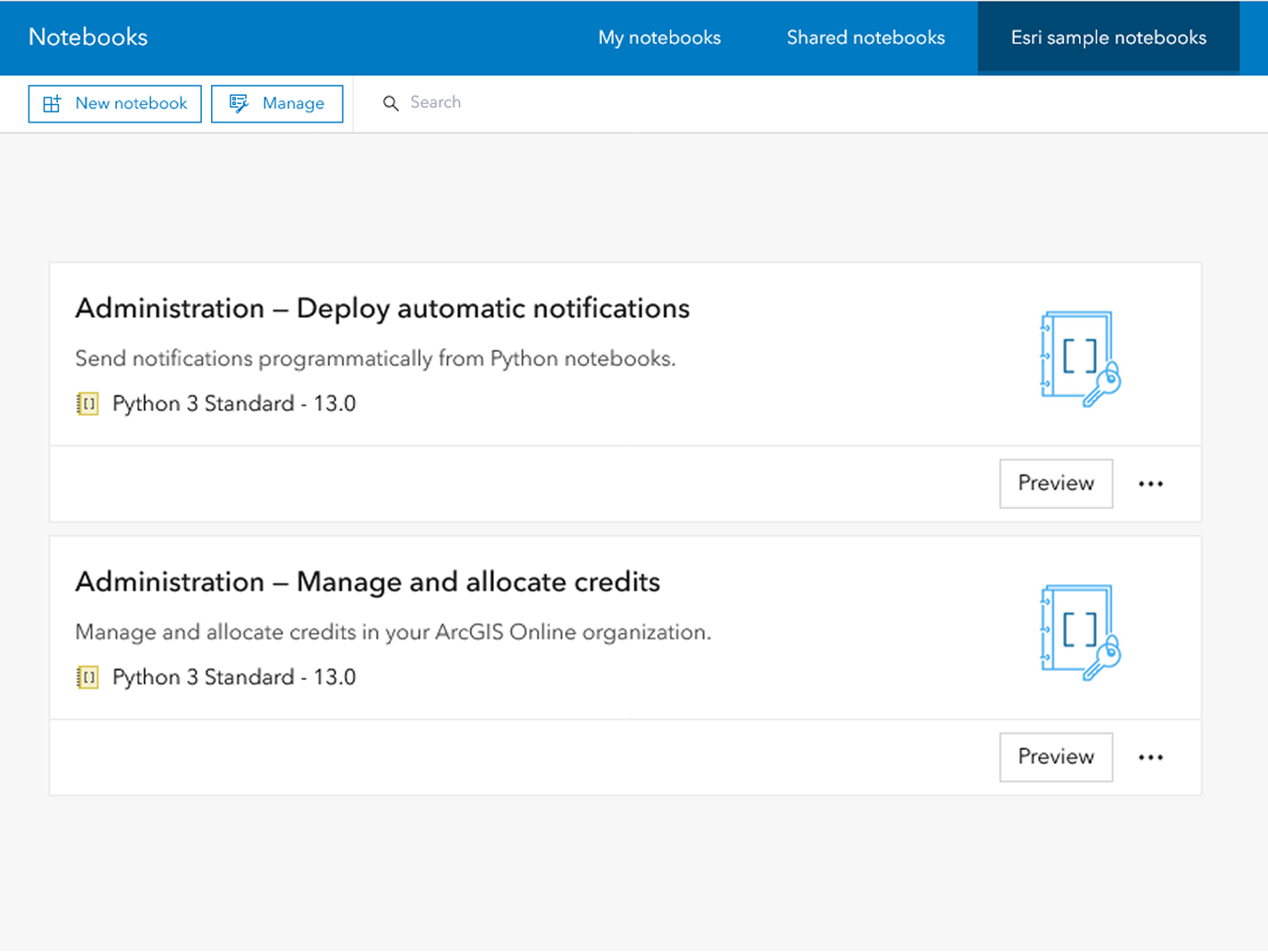
Write scripts to handle repetitive tasks and complex spatial analysis without manual intervention.
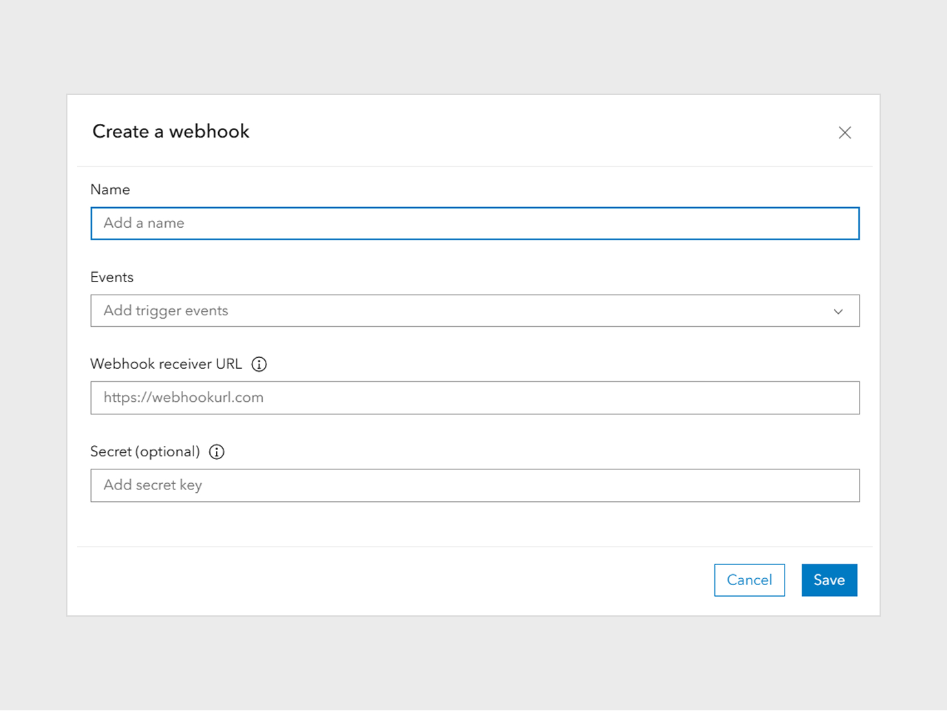
Set up automatic responses when specific geographic conditions occur, such as sending alerts when features enter defined areas.
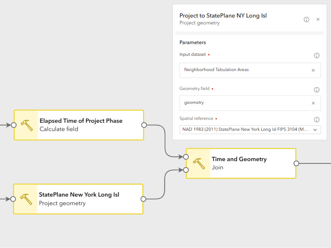
Create automated processes through visual workflow designers without writing any programming code.

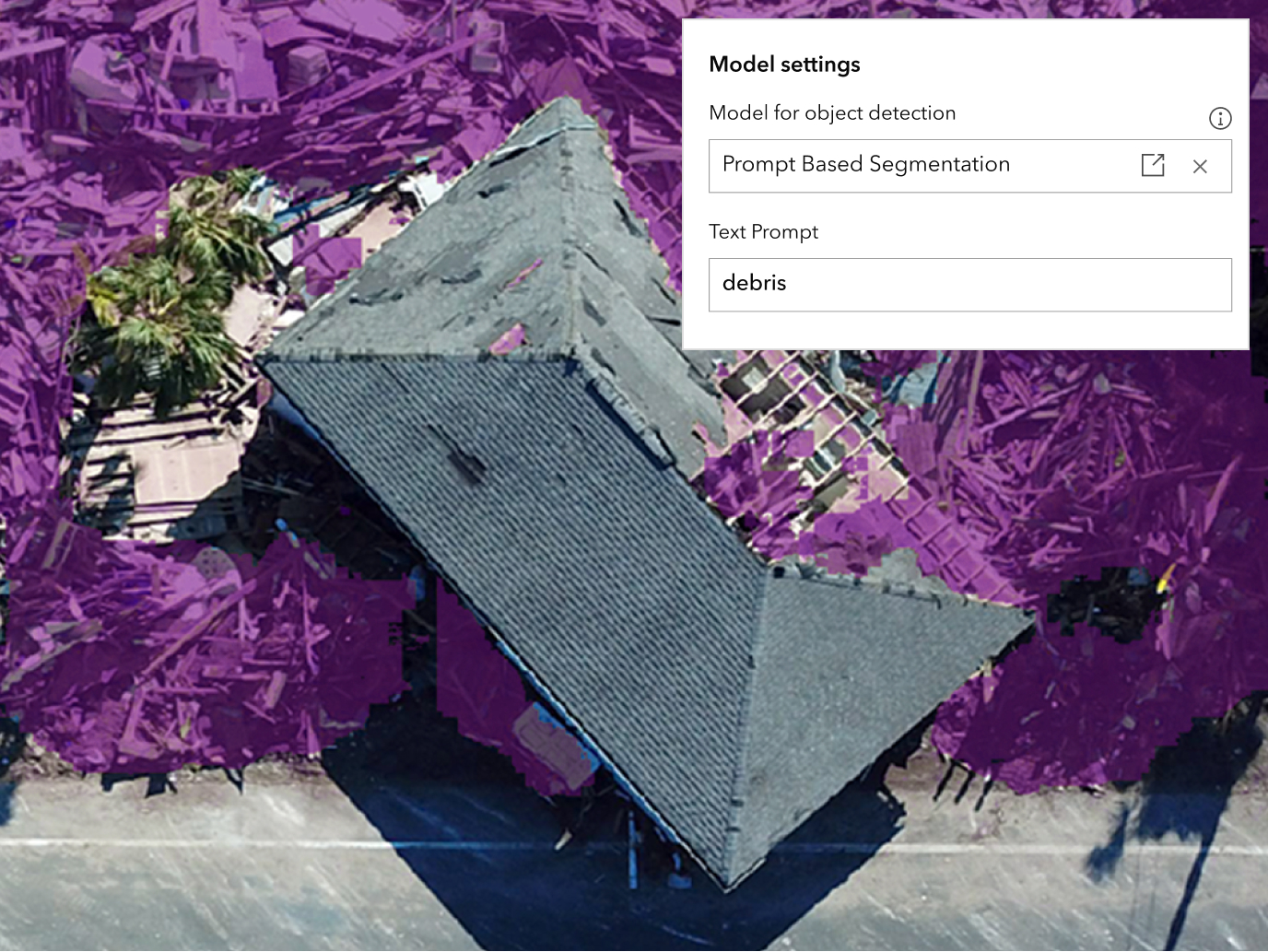
Leverage embedded AI tools within ArcGIS to get contextual help, generate expressions, and streamline complex tasks through natural language guidance.
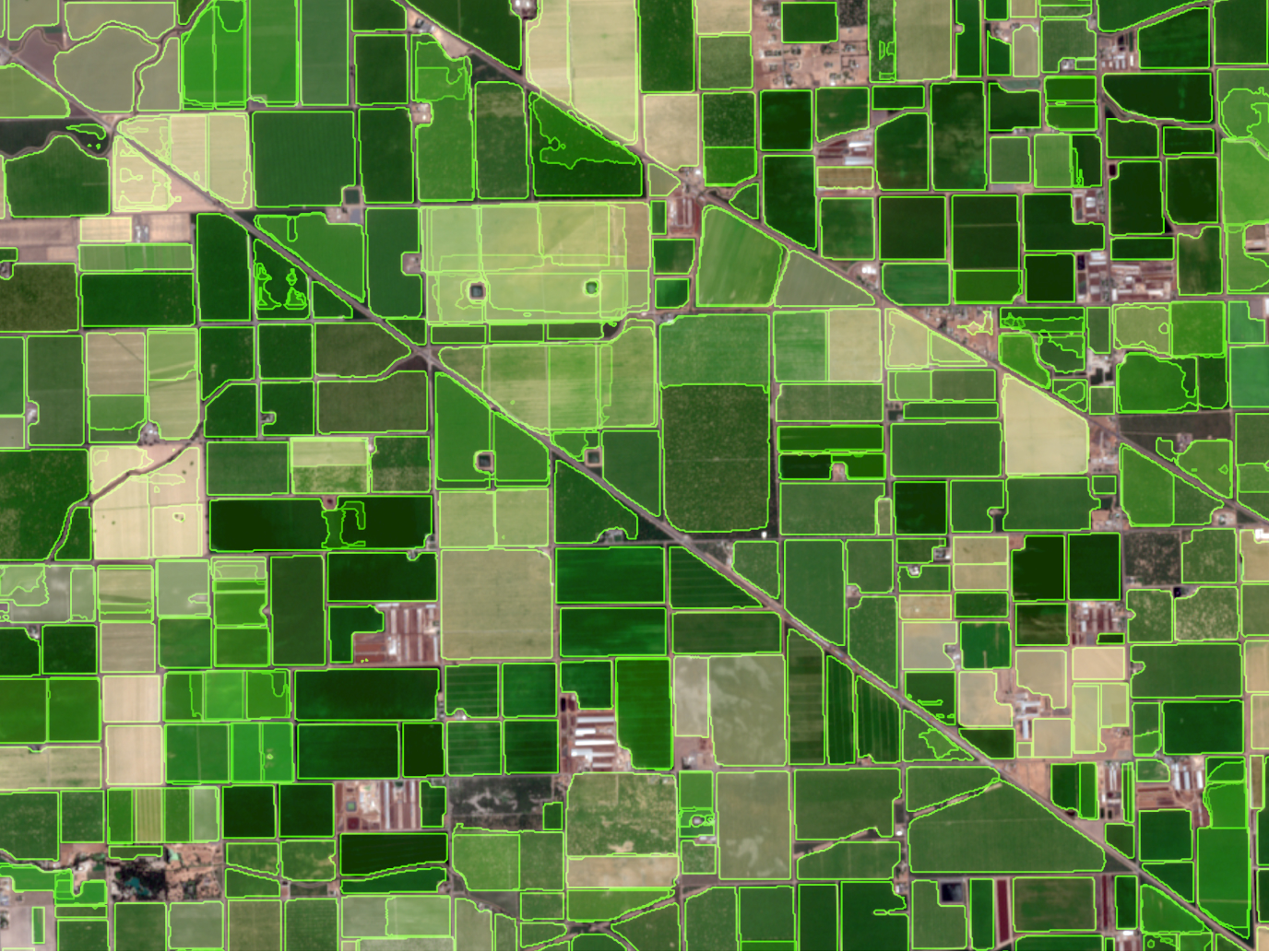
Apply proven AI models designed specifically for geographic challenges like feature extraction and pattern recognition.
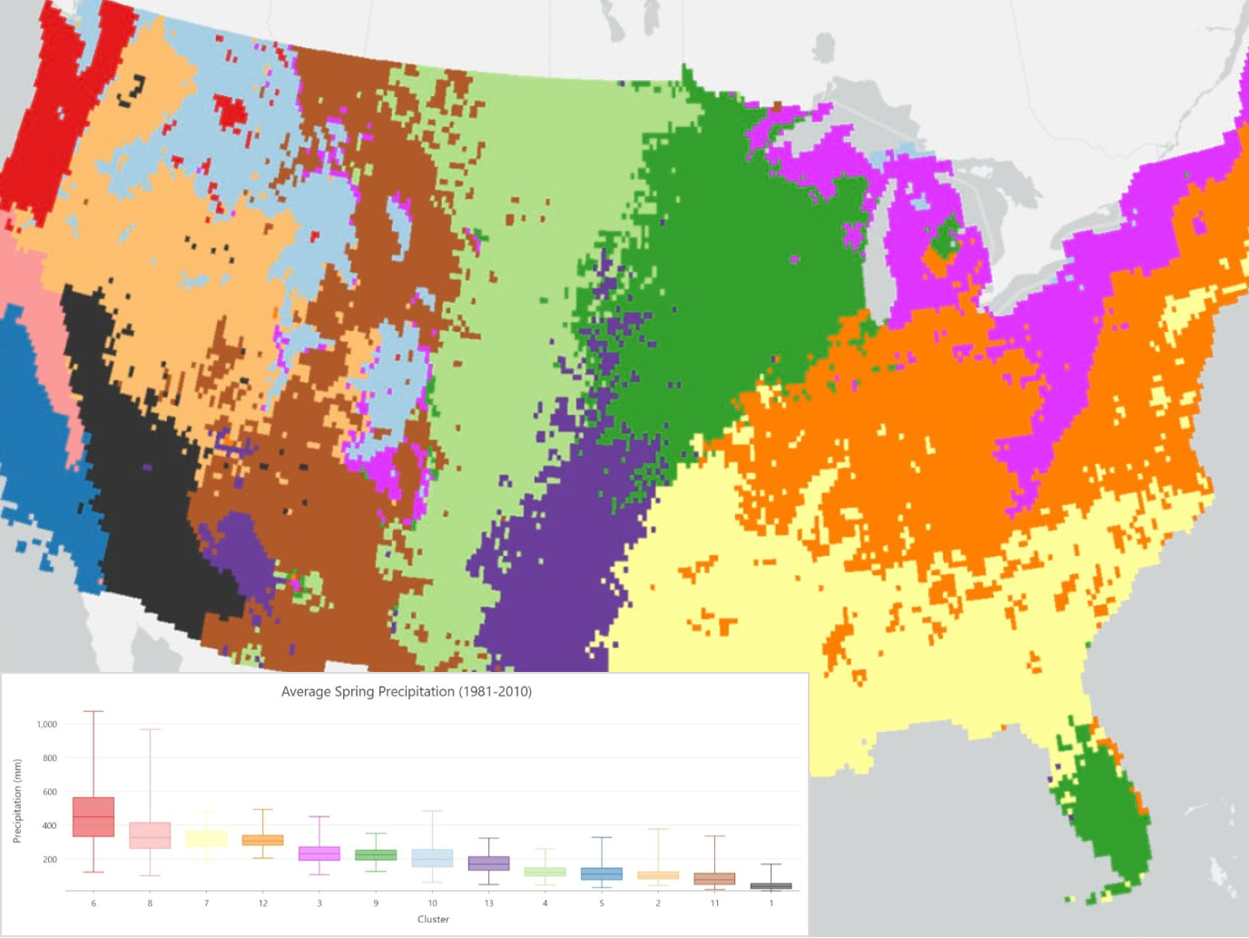
Build custom models tailored to your unique spatial analysis needs using the platform's built-in training capabilities.
Combine the platform's capabilities with popular open-source AI and machine learning libraries to extend functionality.
These applications are included with ArcGIS Online and represent just a few of the available resources and tools for mapping and analysis.
Yes, ArcGIS Online comes with extensive collections of geospatial data to help you get started and enhance your GIS. This includes the following:
A collection of authoritative data: ArcGIS Online provides access to the world’s foremost collection of geographic content through ArcGIS Living Atlas. This includes ready‑to‑use basemaps, rich imagery (such as Landsat and Sentinel), demographic and population data, and environmental data such as weather, oceans, and natural hazards. These authoritative layers can be used directly in maps, apps, and analysis and combined with your organization’s own data. Some ArcGIS Living Atlas content is included with an ArcGIS Online subscription, while additional subscriber and premium content may require credits when used.
Hosted data and layers: ArcGIS Online allows you to host, publish, and manage your own data as hosted web layers in Esri‑managed cloud infrastructure. These layers scale automatically based on demand and can be shared securely within your organization or publicly for use in maps, scenes, apps, and analysis tools.
Premium data and services: ArcGIS Online provides access to optional premium data and services, including demographic data, geoenrichment, routing, geocoding, and network analysis. These services are clearly identified within ArcGIS Online and consume credits when used, allowing organizations to pay only for what they need.
Sharing and collaboration: You can expand the data available to your organization by sharing and collaborating with other ArcGIS Online organizations or ArcGIS Enterprise deployments. This makes it easy to discover, use, and reuse authoritative data, maps, and layers created by others while collaborating on projects across organizational boundaries.
Yes. ArcGIS Online allows you to host, publish, and manage your own data. You can upload data from common file formats or publish content from other ArcGIS products, creating hosted web layers that can be used in maps, scenes, apps, and analysis workflows. Hosted layers scale automatically and can be shared securely within your organization or publicly, depending on your needs. You can host your data in the United States, European Union (EU), or the Asia-Pacific (APAC), where their ArcGIS Online data will be stored.
Once published, your data can be edited, updated, and reused across multiple maps and applications. ArcGIS Online also supports creating different views of the same data to control editing, sharing, and access, helping organizations maintain a single, authoritative source of information.
Please visit the ArcGIS Trust Center.
Explore pricing and purchase the option that best fits your organization’s needs.