Anthony Schultz
Anthony Schultz is the Director of Wildland Fire Solutions at Esri. He has a background in wildland fire management and operations, having served in a variety of capacities, most recently as the Fire Management Officer (FMO) for the State of Wyoming. During his tenure in Wyoming, he served as chair of the Western State Fire Managers and was a Rocky Mountain Coordinating Group member. He has also served as an FMO with the State of North Dakota. Prior to becoming an FMO, he worked as a wildland firefighter the Bureau of Land Management, the National Park Service, and the US Fish and Wildlife Service.
Posts by this author
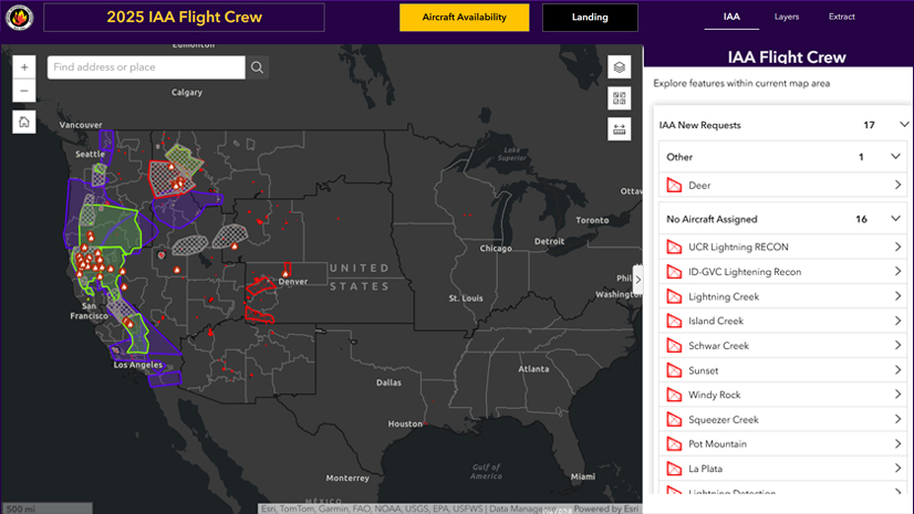
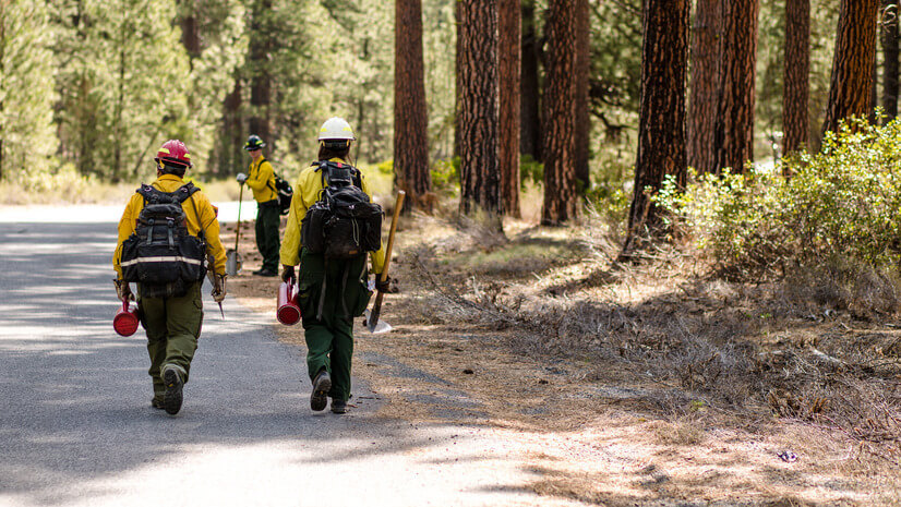
IAA: The Wildfire Intelligence Program You’ve Probably Never Heard of But Definitely Rely On
Meet IAA: the interagency wildfire intelligence program using aircraft and satellites to detect fires and deliver real-time mapping nationwide.
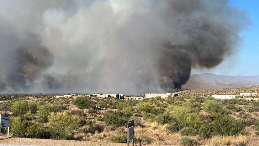
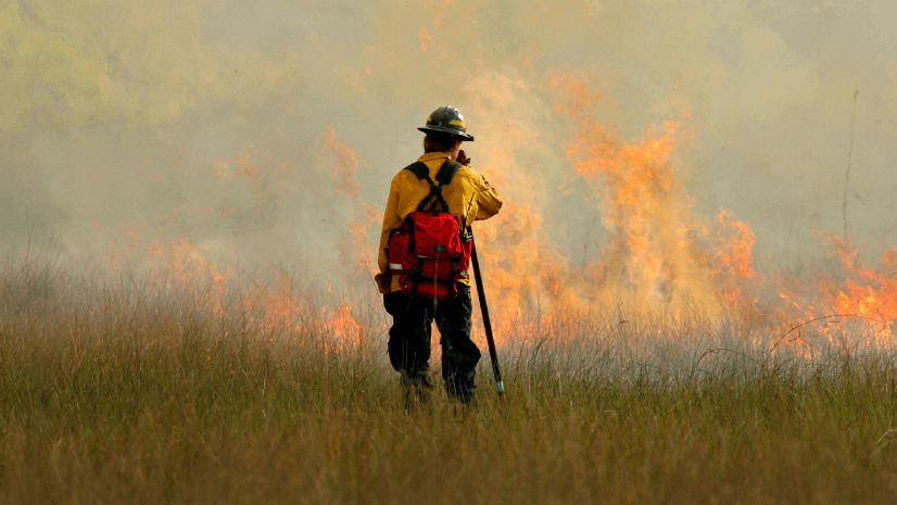
City of Scottsdale Gets Homes Wildfire Ready
With an atypical scene for large-scale wildland-urban interface fires, City of Scottsdale gets homes wildfire-ready using Esri's GIS.
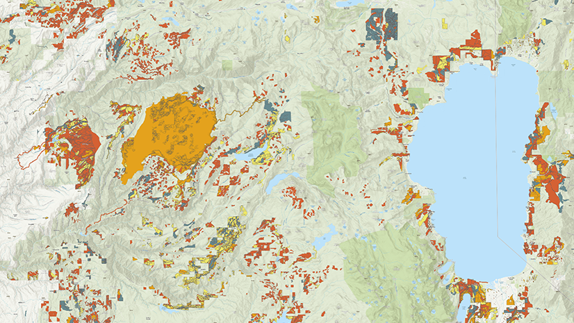
A New National Platform Transforms Wildfire Data into Actionable Insights
Discover TWIG, a national platform combining wildfire and fuel treatment data into usable insights with interactive maps and open access tools.
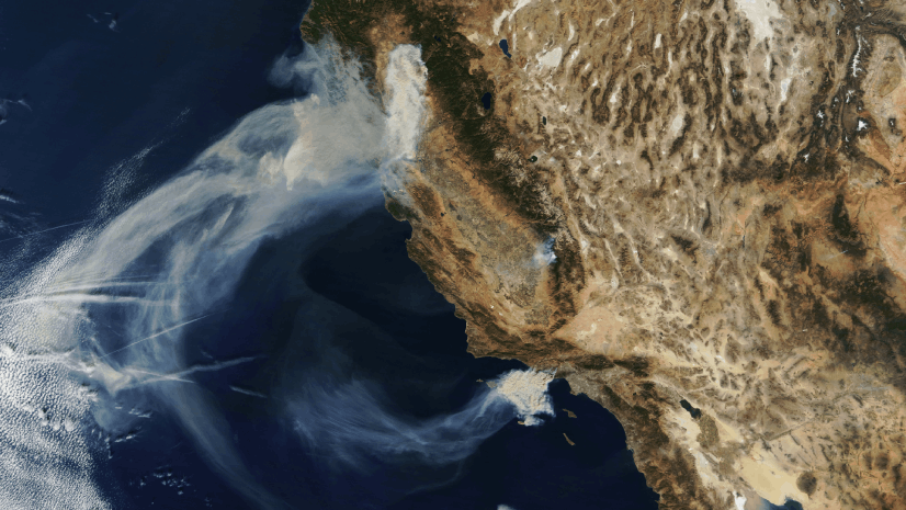
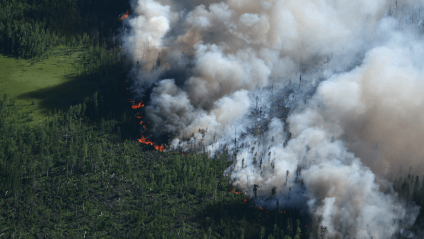
Seeing the Big Picture: Remote Sensing in the Wildfire Technology Toolkit
Discover how satellites, sensors, and GIS tools like SkyWatch and IAA support smarter wildfire response and real-time fire mapping.

Unlocking NIFC’s ArcGIS Online Organization: Data and Tools for Every Wildland Firefighter
Explore the NIFC's ArcGIS Online organization’s wildfire mapping tools, FireGuard data, and mobile apps for improved wildfire response.
The Backbone of Wildfire Intelligence: Foundational Layers for Analysis and Action
Explore foundational wildfire data like IRWIN, NASA FIRMS, and ArcGIS Living Atlas to power effective wildfire mapping and analysis.
Turning Recommendations into Action: Why the Alliance for Wildfire Resilience’s Legislation Tracker Matters
Turn insight into impact. This ArcGIS-powered tracker maps wildfire bills to expert recommendations for smarter, faster change.
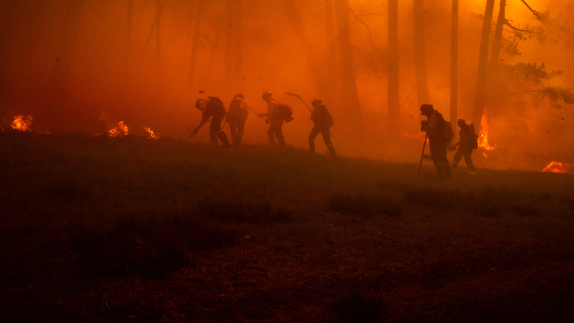
What’s Burning and Where? Essential Apps and Reports for Wildfire Situational Awareness
Stay informed this fire season with trusted apps and tools to track wildfire activity, assess risk, and boost situational awareness.
Building Your Wildfire Toolkit: A Quick Start Guide to Wildfire Intelligence
Kick off fire season with the top GIS tools for tracking, planning, and staying informed. Your 2025 wildfire guide starts here.