Most recent
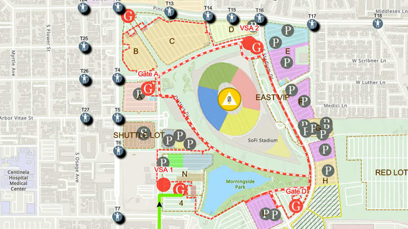
One City, One Common Operating Picture: How Inglewood Used ArcGIS to Support World Cup Operations
As FIFA World Cup 2026 hit North America, Inglewood, CA had its own high-stakes story: how technology helped the city keep pace.

Esri Water|
Town of Grand Chute Utilizes ArcGIS to Digitally Transform and Improve Transparency Across Departments
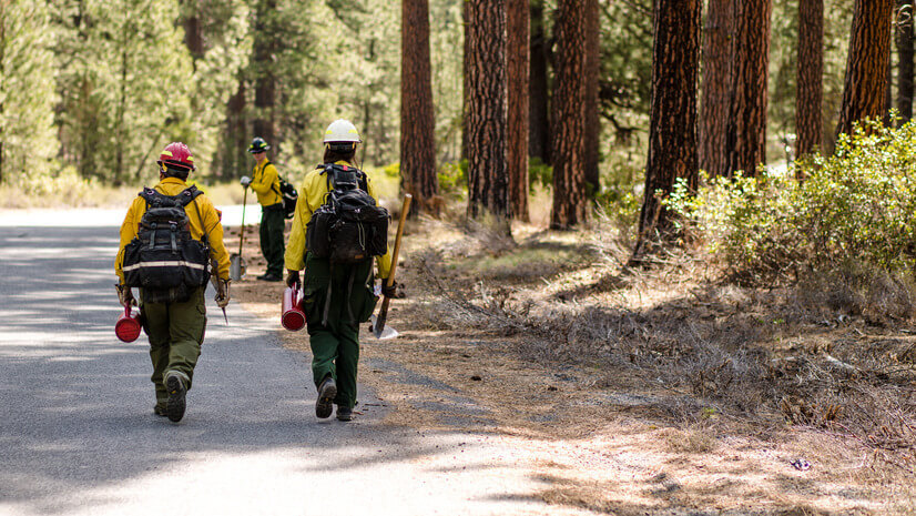
The Backbone of Wildfire Intelligence: Foundational Layers for Analysis and Action
Multiple Authors|
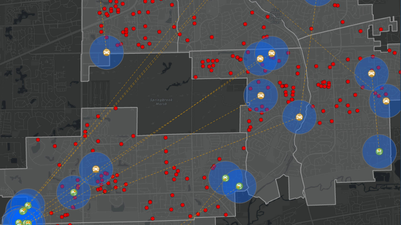
Using Link Analysis and Buffers to Support Criminal Investigations

Five Datasets Telecoms Can’t Live Without and Why They Belong in GIS
ATMB Optimizes Fiber Network Management with 1Telecomms GIS
Turning Recommendations into Action: Why the Alliance for Wildfire Resilience’s Legislation Tracker Matters

Esri Water|
Urban Public Utility Gains Efficiencies with Digitized Permitting and Asset Management
Esri Water|
Águas do Norte: GIS Integration Strategy Using ArcGIS Utility Network

Faster Fixes, Smarter Apps: NES Transforms Storm Damage Workflow

What the New User Types Mean for Planning Departments

Phoenix, Axis, and mPower Modernize Fiber Management for Mansfield Electric