Most recent
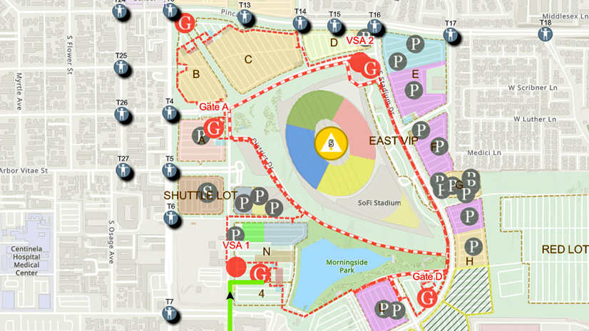
One City, One Common Operating Picture: How Inglewood Used ArcGIS to Support World Cup Operations
As FIFA World Cup 2026 hit North America, Inglewood, CA had its own high-stakes story: how technology helped the city keep pace.

On the Way to the Connected Digital Twin: DB Systel Relies on GIS and Location Services

Empowering the Future of Environmental Consulting with Geospatial Innovation
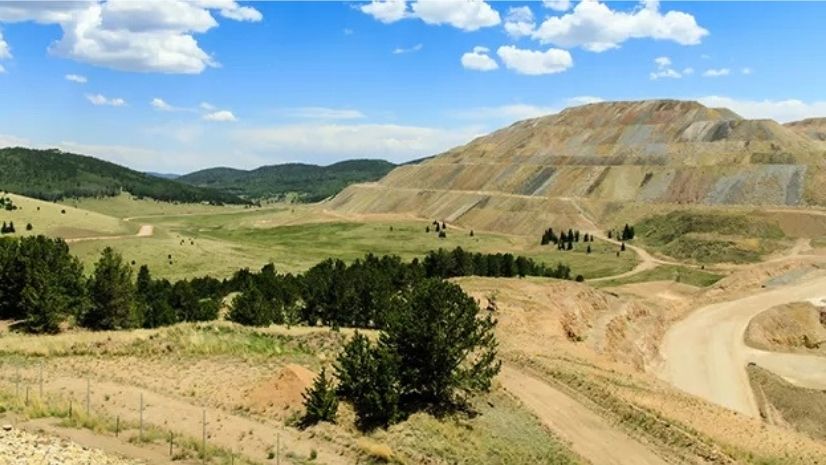
Mapping for Mine Closure: Why GIS is the Key to Sustainable Reclamation
Headed to APWA’s PWX? Stop by Esri to Learn How Next-Generation Public Works is Powered by ArcGIS
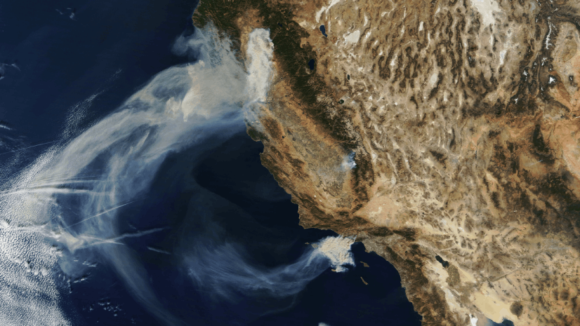
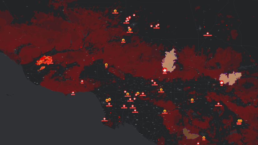
Seeing the Big Picture: Remote Sensing in the Wildfire Technology Toolkit

Showrooming: At a Grocer Near You.

ICSC Las Vegas 2025: Retail’s Data-Driven Evolution
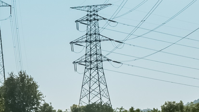
GIS-Powered Precision at Great River Energy: Fault Location Transformed

New State Legislation Reshapes Housing and Community Development

The Agriculture SIG at the Esri 2025 User Conference

Wired for Success: TREDAŞ Transforms Field Operations with ArcGIS