
GIS Boosts R3 Initiative in Recreation Office
The Connecticut Department of Energy and Environmental Protection used GIS to help increase participation in its youth fishing program.
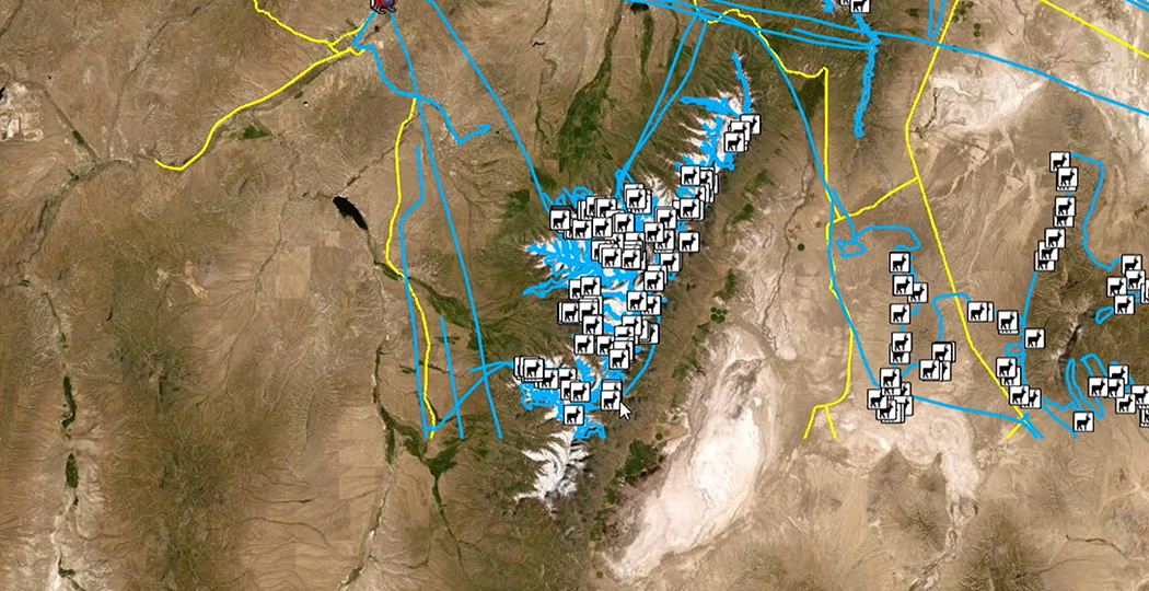
The Nevada Department of Wildlife helps preserve the elk population by using GIS to improve aerial surveys and streamline data collection.
GIS Boosts R3 Initiative in Recreation Office
Washington State Maps Recreation Inventory

The Economic Value of Parks: NYC
State parks reach real-time operational awareness

Climate data and tools boost community resilience
Driving a statewide understanding of water quality

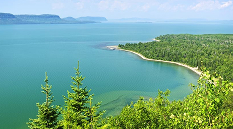
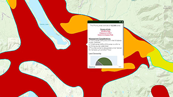
Striking a balance between conservation and growth
Wisconsin uses maps to tackle ‘forever chemicals’
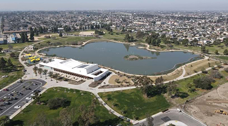
LA County maps equitable access to nature
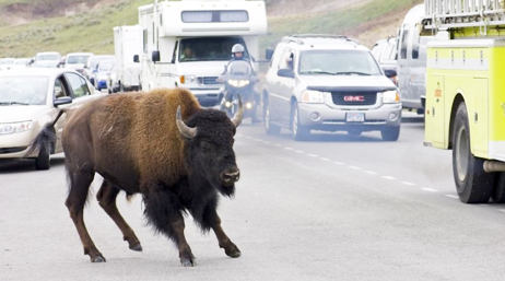
Improving roadway safety for wildlife and people
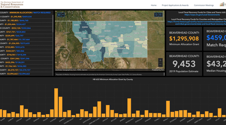
Maps help ensure equitable distribution of funds
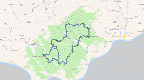
Ohio DNR releases DETOUR trails app

Atlanta nonprofit protects trees with GIS
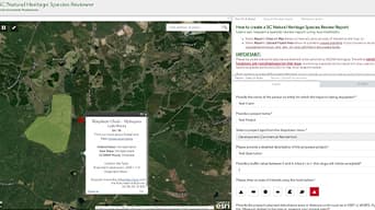
South Carolina uses GIS to preserve biodiversity
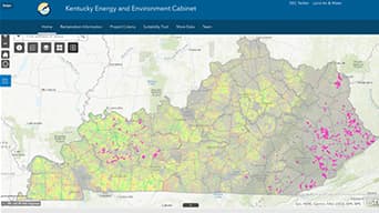
Kentucky maps prime renewable energy sites
Hub builds collaboration for forest plan
Join the geospatial conversation, ask your questions, or browse the forums.

Meet with Esri’s environmental team at trade shows across North America in 2025.

Esri GIS courses are accredited by the American Institute of Certified Planners (AICP). Complete these training courses to maintain your annual certification for free.

Sign up to stay informed on news, updates, and helpful tips for environment and natural resources professionals.