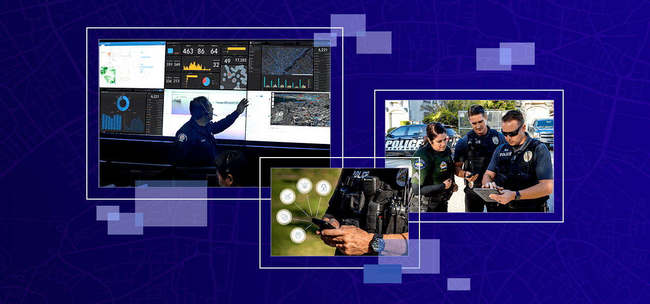
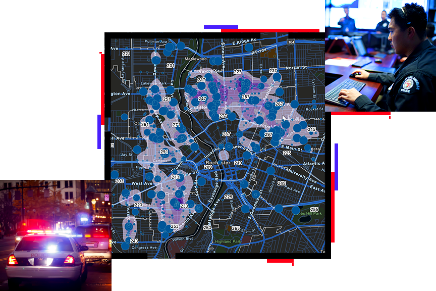
Law Enforcement and National Security
Whether you are analyzing crime patterns, managing special operations, or on patrol, smart maps can help you keep your community safe. How? GIS maps make information actionable. Visualize and analyze data and empower personnel with real-time location insight for better decision-making.
SUCCESS STORY
Virtual Port Protects the San Pedro Bay Port Complex
Integrating Esri GIS mapping software into daily operations enables the Port of Long Beach to manage day-to-day operations, resources, and security threats.The Virtual Port system equips personnel with a common operational picture of real-time data displayed on smart, interactive maps.
Planning and Analysis
Better prepare command staff for any situation. Investigate big data and build an accurate picture of what's happening.
Operations
Improve every workflow to understand current crime conditions, enhance response, and keep officers and the public safe.
Situational Awareness
Accomplish the mission with up-to-the-minute intelligence on what's happening in the field, across jurisdictions.
Offender Management
Enhance decision-making with live data for every variable involved in corrections, probation, and parole duties.
Specialized Apps

Incident Map
Create a series of incident map layers that help you analyze crimes, arrests, warrants, offenders, and other events.

Crime Prediction App
Identify repeat and near-repeat victimization patterns of a crime type within a specified time frame and geographic area.

Community Event Management Apps
Leverage a collection of apps to permit, coordinate, plan, and promote community or special events.
Upcoming Events
Notify me when there is a new event
Resources
SUCCESS STORIES
Putting the geospatial in cybersecurity
Coachella 2018: How the festival and other large events are using drones and other high-tech security
Long Beach police launch new app that allows tracking of neighborhood crime
Newark Police Unveil Interactive Map for Reporting Traffic Concerns