Store
|
Contact Us
|
Careers
Home
Industries
Products
Training
Support
Services
Events
News
About
About Esri
Careers
Esri Video
Partners
ArcNews Online
Summer 2002
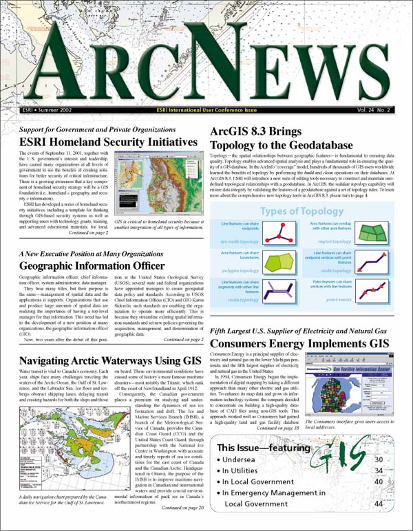
SUMMER 2002 ISSUE
COVER STORIES
T-SHIRTS WORLDWIDE
ArcNews
Online shares
selected
articles from the print edition.
Current Issue
Previous Issues
Spring 2002
Winter 2001/2002
Fall 2001
Summer 2001
ArcGIS 8.3 Brings Topology to the Geodatabase
Esri Homeland Security Initiatives
Geographic Information Officer
-
Placing the Geographic Information Officer Within an Organization
Consumers Energy Implements GIS
Navigating Arctic Waterways Using GIS
Iceland, Ireland, France, Kenya, Singapore, and Arizona--Around the World with Seven Esri T-Shirts!
T-shirt Photos from Previous Issues
SOFTWARE NEWS
GIS IN ACTION (cont.d)
GIS TRENDS IN
LOCAL GOVERNMENT
ArcGIS 8.3 Brings Topology to the Geodatabase
(see Cover Story)
Introducing ArcGIS Schematics
MapObjects--Java Standard Edition Is Now Shipping
ArcIMS 4 Integrates with ArcGIS
ArcGIS Software News
ArcGIS Survey Analyst
ArcPad Application Builder 6
ArcReader Now Available!
ArcView 3.3 Now Available
Introducing ArcGIS Tracking Analyst and ArcIMS Tracking Server
Maplex for ArcGIS
What's New in Esri Data & Maps
ArcLogistics Route for Workgroups Now Available
GIS IN ACTION
Earthquakes, Volcanoes, Tsunamis, Oh My!
In Japan, GIS Helps Assessment of Asphalt Deterioration for Dam and Reservoir Construction
Albany International Airport, New York, Uses GIS for Pavement Management
Interactive Mapping Sites Focus on the Big and Small
Delaware DataMIL: A Web-Based Mapping Collaboration
USGS and NIMA Share Data
ArcSDE 8.2 and Raster Data Management
Note:
Revisiting Swiss Cable Communications
EXPLORING UNDERSEA
WITH GIS
Searching for the German U-559 Submarine with GIS
Exposing the Seafloor with GIS
NOAA Provides Digital Data to the Public Via the Internet with GIS
SPOTLIGHT ON GIS IN
UTILITIES
The Republic of Senegal Uses GIS for Rural Electrification
Rescuing a Sewer Pipeline Avoids Catastrophe in San Juan, Puerto Rico
-
Fast Track to Accuracy
Amazon Utility Boa Vista Energia S.A. Implements GIS Solutions
The City of Riverside, California, Takes Weed Abatement from Paper to Pixels
LOJIC Develops Interactive Geodetic Control Map
The URISA History Project
FOCUS ON EMERGENCY
MANAGEMENT IN LOCAL
GOVERNMENT
Buffalo, New York, Uses GIS in Response to a Natural Emergency
City of Medell�n, Colombia, Inaugurates 1-2-3
Salt Lake Olympics Set New Safety Standard
GIS COMMUNITY NEWS
Celebrate Your World with GIS
17th Annual Esri European User Conference
Ninth Annual Esri and ERDAS Latin American User Conference
Middle East, Africa User Conference
Esri Japan Opens Its Doors
Esri Ireland--A New Era for GIS in Ireland