Skip to Content

Integrated Geospatial Infrastructure

Address shared challenges

Interconnect organizations across borders, jurisdictions, and sectors

Two business professionals looking at a series of images including a wildfire, a car in a flood, a railroad, and a forest

Address today's challenges with integrated geospatial infrastructure.

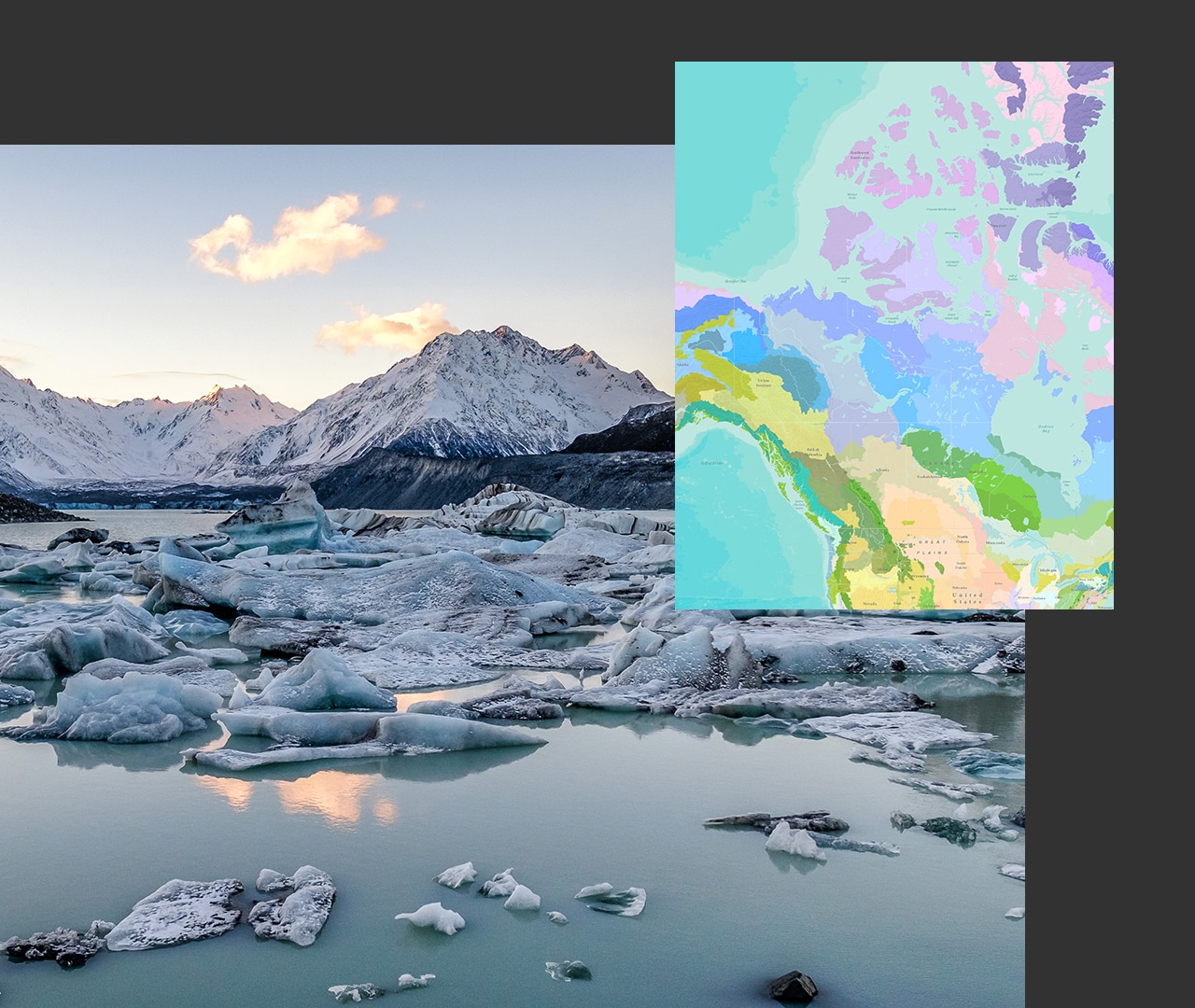
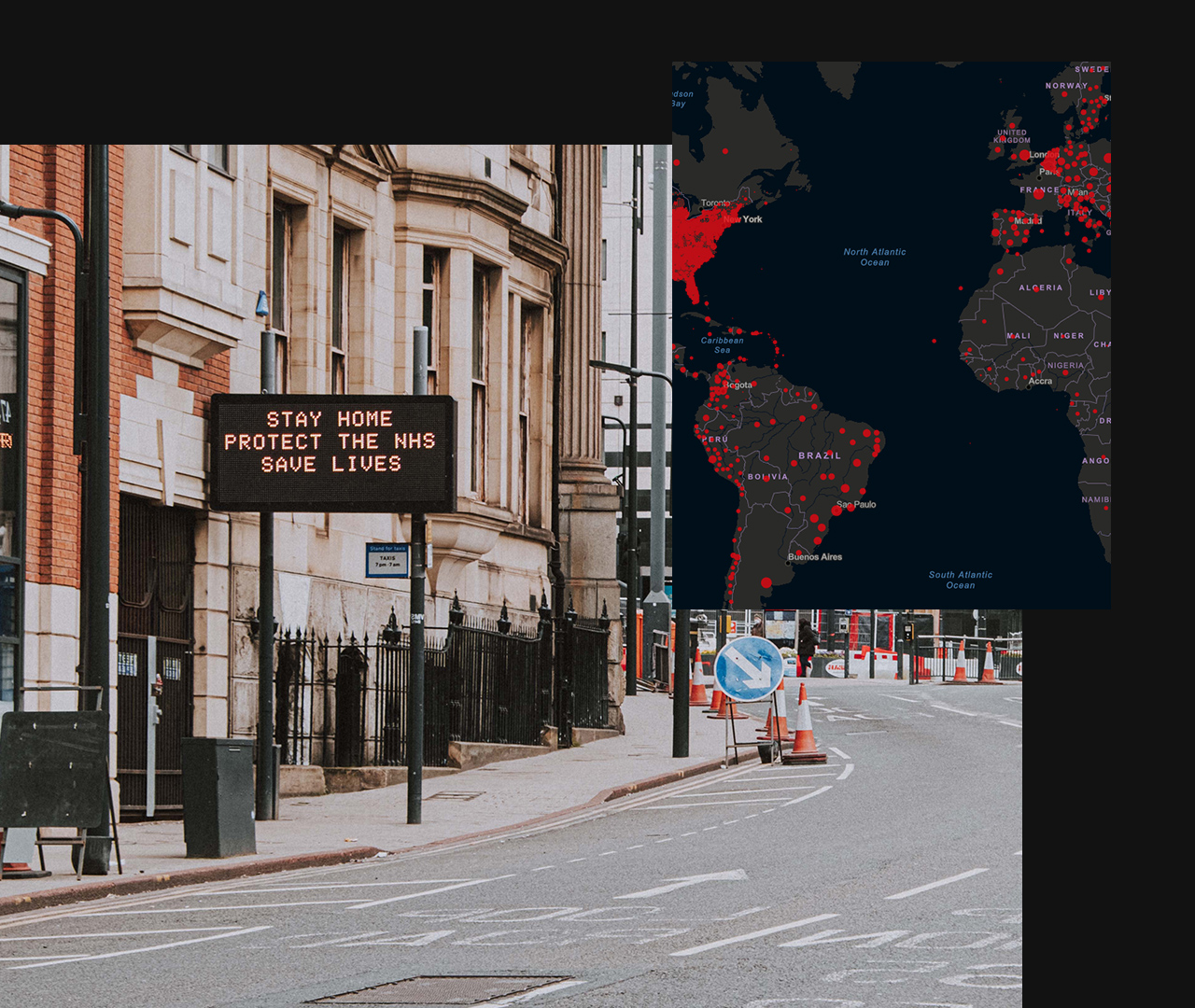
People and economies, disasters, and infrastructure cross borders. Our location data and technology must cross borders, too. 

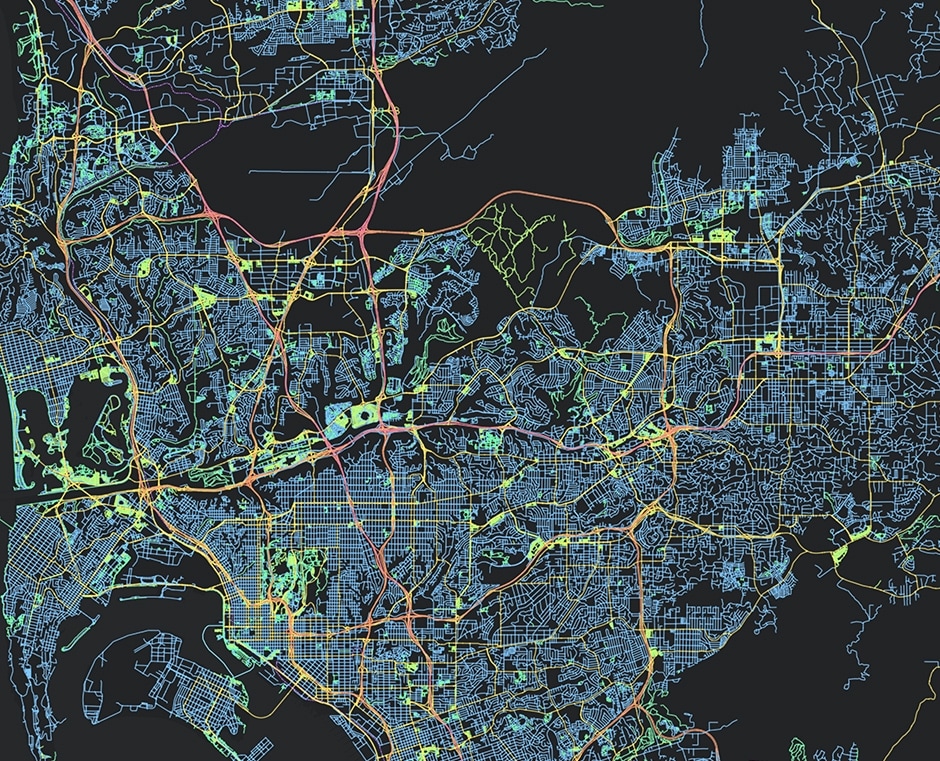
How we think of traditional spatial data infrastructure (SDI) is evolving. From local and regional data cooperatives to the National Spatial Data Infrastructure (NSDI), the internet and cloud computing are transforming the way organizations manage data and collaborate in a system of systems.

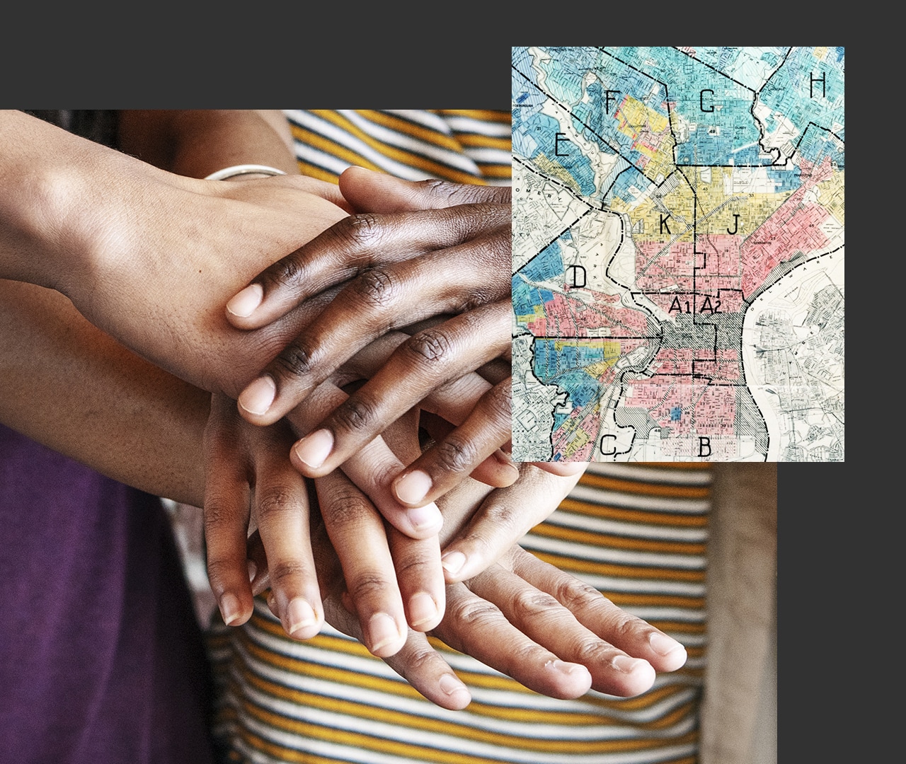
Integrated geospatial infrastructure connects organizations across borders, jurisdictions, and sectors to address shared challenges—efficiently and effectively. 

Infrastructure for our future

New patterns for modern SDI and federated Web GIS are shifting paradigms from hierarchical to interconnected networks of collaborating partners.

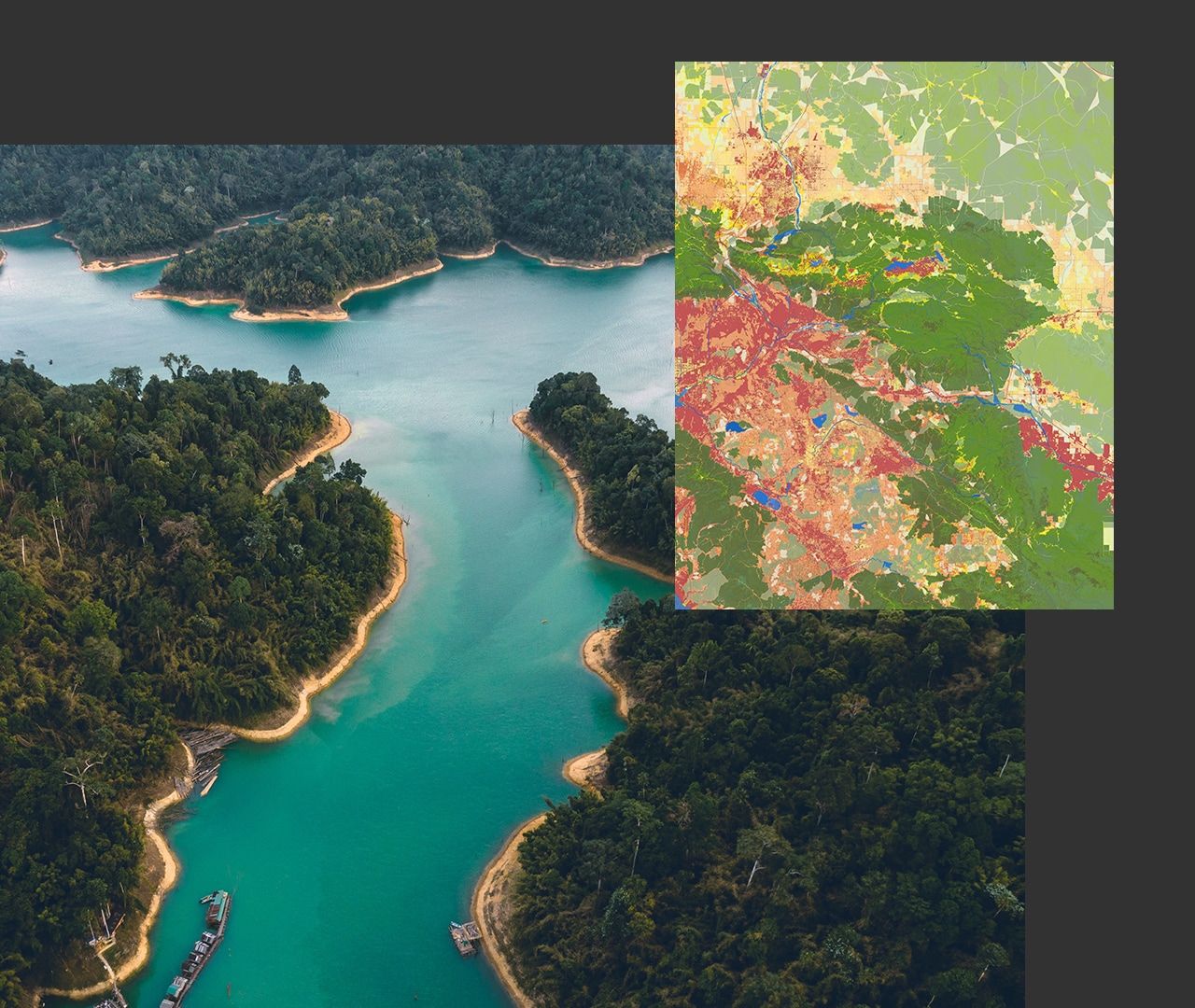
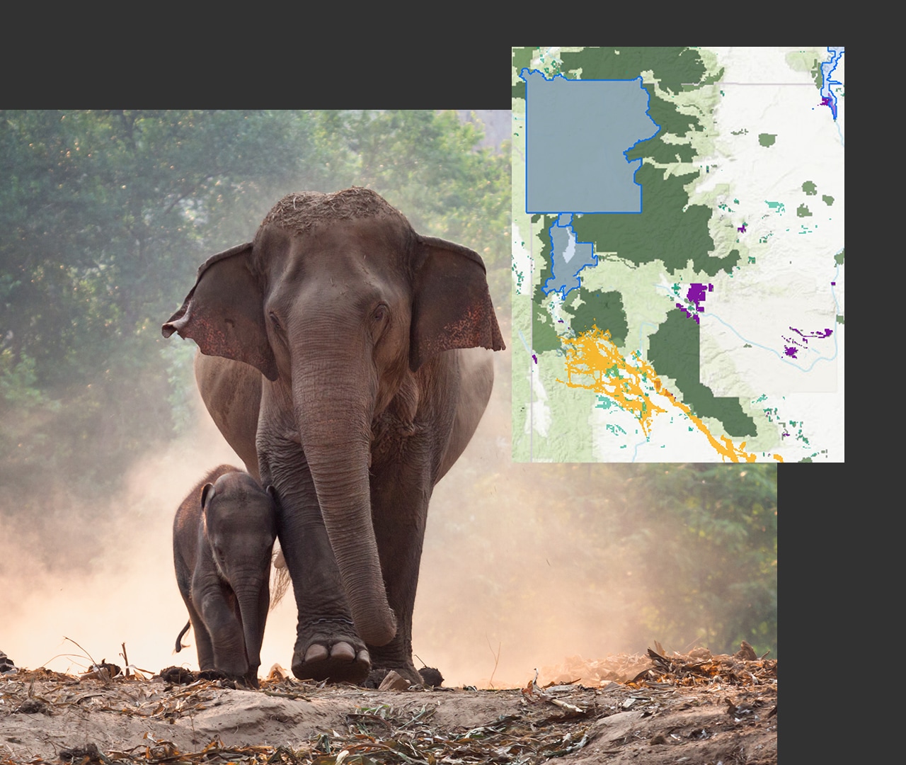
Sustainable development

Planning for sustainable development while tackling biodiversity and climate change is difficult without access to shared data.
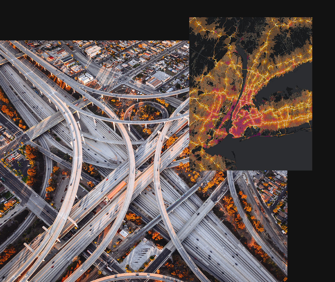
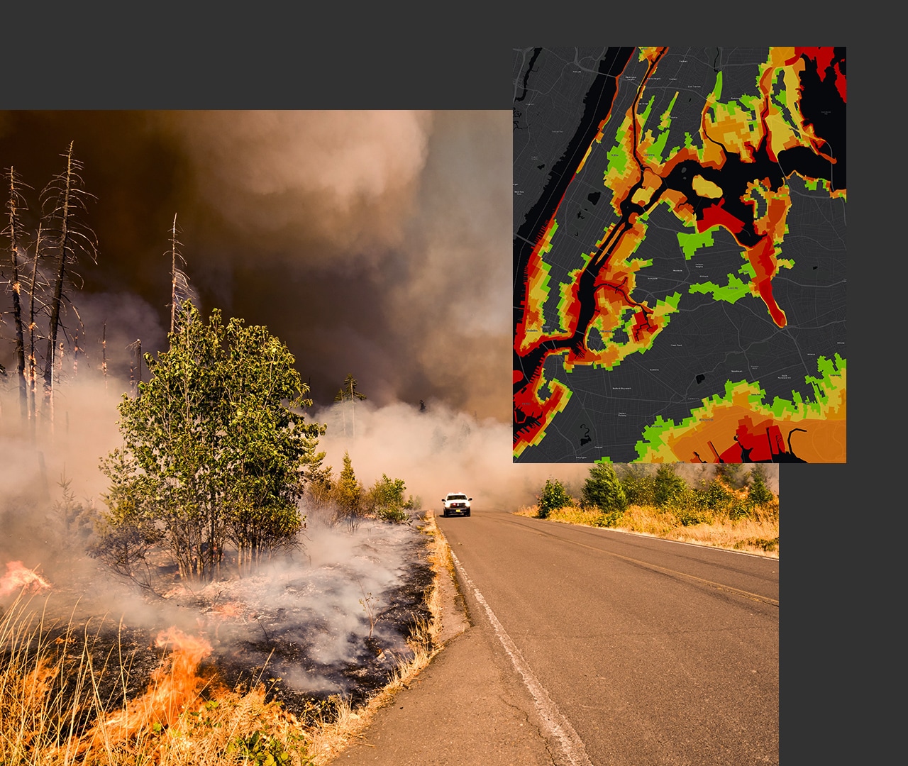
Disaster management

Natural and human-made disasters can strike in an instant. A common operating picture of fundamental data is essential to supporting recovery.

A young man in an airport looking at a phone and an image of a blue digital map with routes highlighted in red and yellow

Pillars of modern spatial data infrastructure


Integrated geospatial infrastructure, including the National Spatial Data Infrastructure and SDI at all levels, is inherently multiorganizational. Experiences from around the world show that a holistic approach and well-thought-out strategy are needed for modern SDI and data collaboratives to thrive.

Collaborative governance

Governance involves leadership, vision, and geospatial strategy. It requires a clear value proposition, investment, policy, and progress reporting on key performance indicators (KPIs).

Explore governance resources
A smiling young woman in front of a white board holding a marker

Data and technology

Build, manage, and share fundamental data in an open, secure, and integrated geospatial infrastructure to be used and reused in solutions that address shared challenges.

Discover technology resources
Man sitting at a table in front of a laptop with an open notebook and cellphone

Engagement

Engage your partners and community through open data, inclusive programs and initiatives, information products (like dashboards and stories), surveys, and events.

View engagement resources
Three women in a group smiling and looking at a binder

Capacity building

Nurture developers, business talent, and innovation. Train staff and stakeholders, enable easy and affordable access to data and tools, and mentor the next generation of leaders and users.

Explore capacity building
A man and woman in front a of a desktop computer looking at the screen

Collaboration is key

Today's challenges require multinational and multiorganizational collaboration with the goal of promoting efficiency at all levels of government.

SUCCESS STORY

Cross-jurisdiction platform enables equity

"Data platforms should be a tool, a solution to help local and regional governments chart a course forward and track progress as well."

Rex Richardson

President, Southern California Association of Governments (SCAG)

Read the ArcUser article

Stay updated


Sign up for integrated geospatial infrastructure updates.