Bulgarian Railway Network Management Is Streamlined with GIS
Highlights
- GIS provides access to a centralized database that includes geospatial parameters of the railway infrastructure.
- GIS provides services to railway operators, emergency responders, and repair and modernization operations.
- The implementation of GIS is guided by international standards and models.
Located in the heart of the Balkan Peninsula, the Republic of Bulgaria plays a crucial role for Europe with its strategic location. It is a transportation crossroad between western Europe, the Middle East, and the Mediterranean, as well as an external border for the European Union (EU). Four international land transport corridors pass through its territory. Therefore, maintenance and development of the Bulgarian transportation network is of key importance not only for Bulgaria but also for the Balkan Peninsula and Europe as a whole.

An ArcGIS web application provides information about the railway infrastructure together with cadastral data.
The Bulgarian railway network consists of more than 4,000 kilometers of railway lines, a significant number of which coincide with international transportation corridors. Because of the diverse nature and topography of the country, there are more than 180 spectacular railway tunnels, 970 railway bridges, and 840 grade crossings along the railway network.
To fulfill the needs of Bulgaria's current market economy, as well as those of Europe and the European Union, the Bulgarian railway network is being modernized and developed—a complex task within the responsibilities of the Bulgarian National Railway Infrastructure Company (NRIC)—as much of the railway's infrastructure was built in the middle of the 20th century.
NRIC is one of the significant economic structures in Bulgaria, with assets worth hundreds of millions of euros. Established by the Bulgarian state government on January 1, 2002, NRIC manages the entire railway network located in Bulgaria. As the infrastructure manager of the Bulgarian railway, NRIC must comply with the requirements of Bulgaria for effective management, modernization, and development of the railway network, as well as comply with EU standards. It also has the obligation to synchronize the information systems of the company with those in other EU countries—a step toward building a common EU spatial infrastructure.
For these purposes, NRIC must collect all the descriptive and spatial information about the railway network, property, and other relevant data and implement a centralized integrated information system. For the establishment of a comprehensive GIS, NRIC began a project called Design and Implementation of Geographic Information System for NRIC's Needs. Esri Bulgaria Ltd., Esri's distributor for that country, was the selected contractor—a company with more than 16 years of experience in implementing most of the biggest national GIS projects in Bulgaria.
Activities on the Design and Implementation of Geographic Information System for NRIC's Needs project started in May 2009 and ended in November 2010. NRIC's GIS is based on ArcGIS and is designed for collection, accumulation, storage, transmission, and analysis of spatial and descriptive information about the railway infrastructure, property, ownership, and other relevant data and to provide conditions for improving the operational, commercial, and financial management of the company.
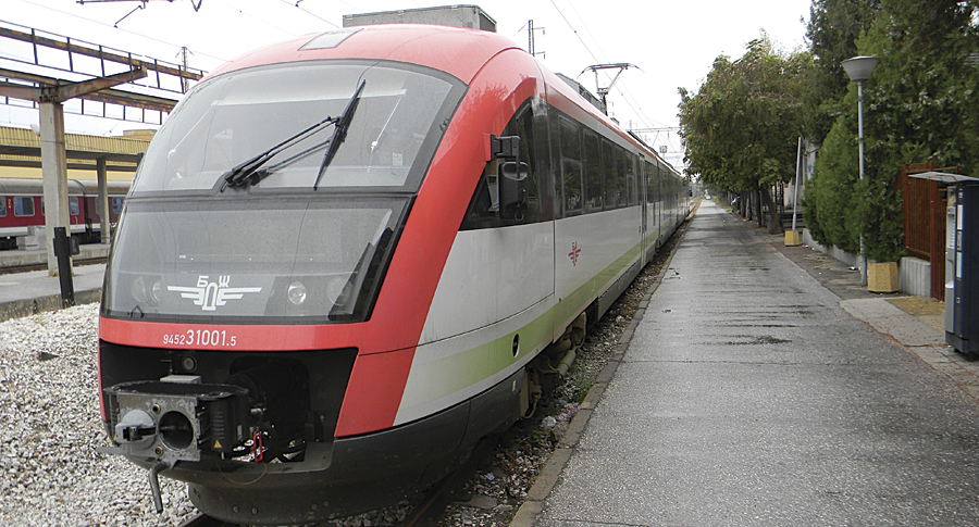
A new, faster train connects the capital Sofia and the Black Sea city of Varna.
NRIC's GIS provides access to a centralized database with geospatial parameters of the railway infrastructure with the ability to identify its objects and establish their location in space, as well as perform geoanalysis and effectively manage infrastructure operations. This is particularly important for the company, as it helps in providing services to railway operators, emergency response, carrying out planned repairs, and modernization of railways.
The GIS includes two major subsystems: "Railway" and "Cadastre and Property Register." Each subsystem has both a desktop and web part. Furthermore, digital drawing archive and administration modules were developed. All these components are closely integrated and used together. NRIC is planning to add other subsystems in the future.
ArcGIS provides capabilities for monitoring, evaluating, and analyzing sites and infrastructure facilities to integrate staff responsibilities and address strategic and operational tasks. By improving the management of the railway infrastructure, significant economic performance is achieved.
The system improves the processes for asset management (rail infrastructure and property) and ensures attainment of rail transportation standards in the European Community by introducing modern geospatial information technologies. Moreover, it gives the company the capabilities to manage cadastral data and technical infrastructure using NRIC's intranet.

An orthophoto map with 10-cm resolution of the railway infrastructure of Veliko Tarnovo City. (Images courtesy NRIC.)
GIS supports operation, maintenance and repair, inventory, inspection, investigation and planning, analysis and reporting, decision making, property management, and other workflows.
NRIC's GIS offers many advantages, including quick access to integrated information from different sources, effective management of information in real time, strong analytic capabilities, prioritization of efforts in planning and maintenance, multiple options for information display, and implementation of international standards and models. Being able to rely on Esri Bulgaria's expertise in GIS design and implementation is another benefit.
By implementing ArcGIS, NRIC has a modern system that provides access to actual data about the railway network and its ownership throughout all levels of the company. In addition, the ability to generate various types of reports results in improved planning and management of the company.
The implementation of GIS in NRIC helps improve the quality and efficiency of railway structure management and creates conditions for economic growth. The system gives NRIC an advantage in achieving long-term objectives for sustainable development and modernization of the national transportation infrastructure.
For more information, contact Erol Mustafov, MS, head of the GIS Unit and project manager, NRIC (e-mail: erolmustafov@rail-infra.bg), or Stefan Tchapkansky, technical marketing, Esri Bulgaria (e-mail: stefan@esribulgaria.com).