A Clearer View of the Seas: Mapping the Fishing the World Can’t See
New data layers from Global Fishing Watch are now available in ArcGIS Online and ArcGIS Living Atlas of the World.
New data layers from Global Fishing Watch are now available in ArcGIS Online and ArcGIS Living Atlas of the World.
Find out how to choose the best imagery for your project. Review the different types and learn about various capture methods.
After moving to ArcGIS Pro, the small team that manages the state’s voting-related street records made the data easier to share and use.
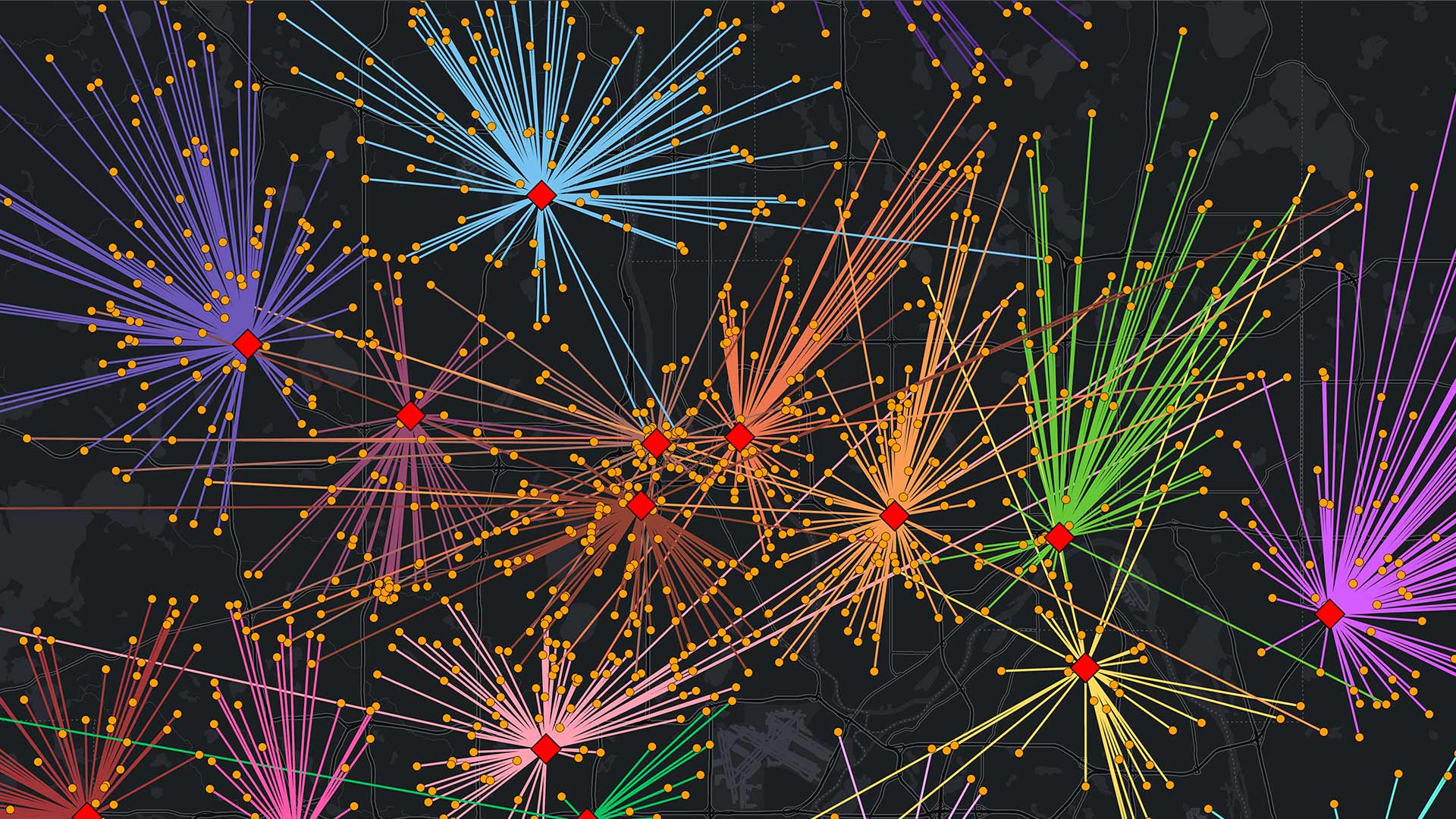
The Iowa Department of Natural Resources has combined their mapping tools for Iowa anglers into a single interactive web mapping app.
Learn how to automate analytic workflows, take a MOOC on spatial data science, and get ahead with new technical certifications.
It was clear what was on everyone’s mind: enterprise GIS, low-code and no-code app building solutions, developer tools, and geospatial AI.
When employees across an organization map, maintain, and access land records from a shared platform, they can prepare for the unexpected.
Native pollinator habitats are under threat. Learn how John Ball Zoo is revitalizing them and engaging communities in conservation efforts.
Colombia’s second-largest mass transit system has saved millions of dollars by using advanced GIS to manage its real estate.
Data from Esri partner Data Axle has more than 14 million verified business records with valuable information, such as sales volume counts.
Using ArcGIS Knowledge, the GeoCommunities initiative maps shared research questions and educational activities.
Interactive maps help the economic development authority support initiatives ranging from affordable housing to small business growth.