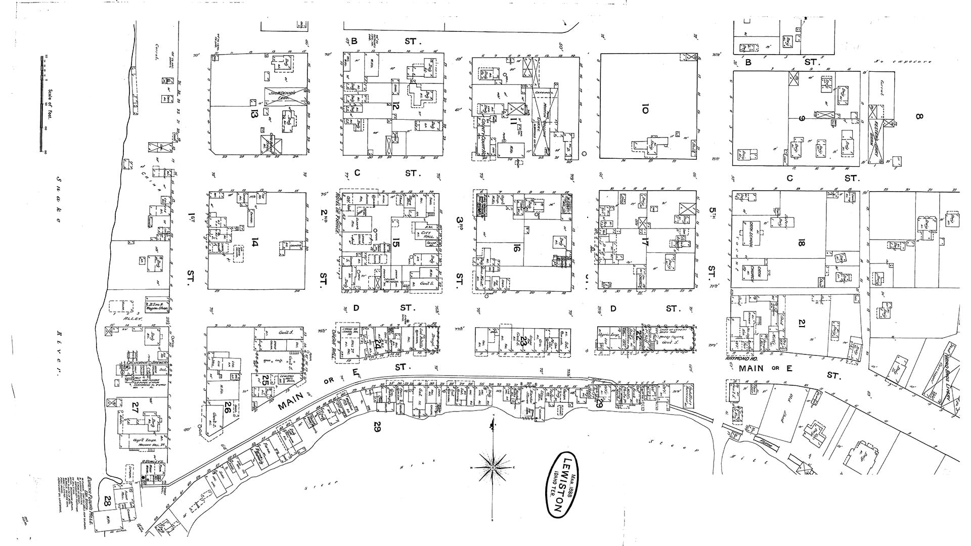
The Mythology Behind Dr. Snow’s Cholera Map
Many GIS professionals know about Dr. John Snow’s map of the cholera outbreak in London in 1854. But there are several myths associated with it.
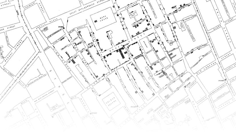
Many GIS professionals know about Dr. John Snow’s map of the cholera outbreak in London in 1854. But there are several myths associated with it.
The Geodesign Summit returns, this time as a virtual event from February 9-10, 2020.
Nate Ebel was 13-years-old when he gave a presentation at the 2002 Esri User Conference. What he did with GIS from then on impacted him greatly.
Andrew Skinner of Esri has created two versions of a basemap that’s color blind friendly and functional.
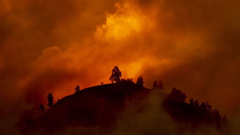
Jim Aranguren, Butte County, California, GIS manager, details the biggest challenges his small GIS department confronted during the Camp Fire.
Find the latest county-level hospitalization and mortality rates for heart disease and stroke from the CDC in ArcGIS Living Atlas of the World.
The current version of ArcMap is the last release and support for it continues until March 1, 2026.
Knowing in advance what kind of medium will be used to share your map will help you make better design decisions.
Dr. Jonathan Mayer talks about geography’s role in disease and public health with Marianna Kantor, Esri's chief marketing officer.
Esri Press published a children’s book series aimed at piquing young people’s interest in science, technology, engineering, the arts, and math.
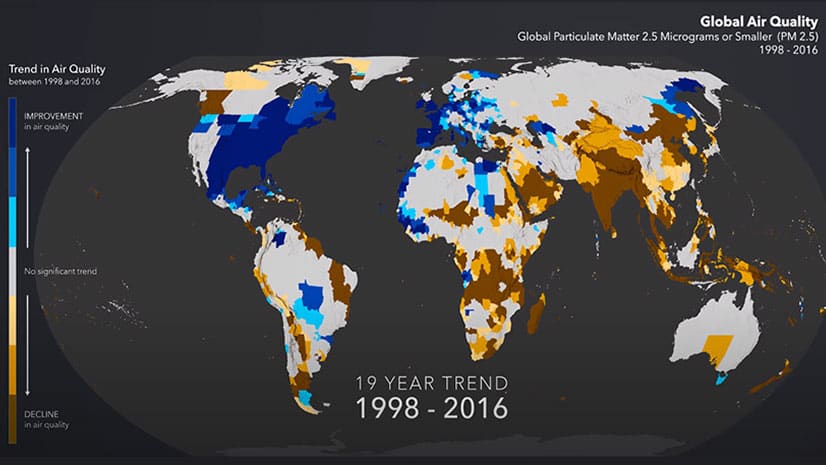
See worldwide air quality data mapped over a period from 1998 through 2016 and see where air quality improved and worsened.
Esri introduced a slick new immersive experience in ArcGIS StoryMaps called explorer map tour. Mark Harrow of Esri shows you how it works.