displaying 195 results
Applied Ocean Sciences uses GIS to inform and distribute its acoustical modeling work, providing scientists and mariners with new understanding.
Authorities use today's smart mapping technologies to track disease outbreaks, decide where to respond, and ultimately prevent pandemics.

Global positioning has changed mapmaking and wayfinding and introduced the means of tracking movements at the global scale.

Archaeology has undergone a digital transformation where sensors and mapping tools uncover past human settlement without digging.

Real-time awareness helped Bergen deliver a well-coordinated nine-day bicycle race, leading to a new public safety approach for all of Norway.
Humans have never been more connected, and our modern maps are a key connector.
With shared maps, new battle management systems keep German soldiers safe through enhanced situational awareness and collaboration.
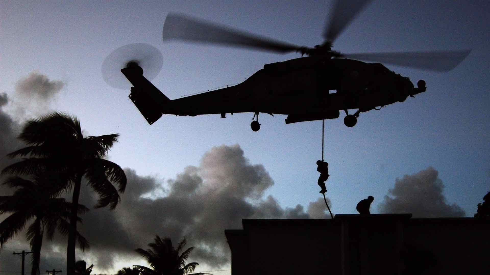
GIS helps to synchronize inputs from sensors and soldiers in a common operational picture that provides real-time situational awareness.
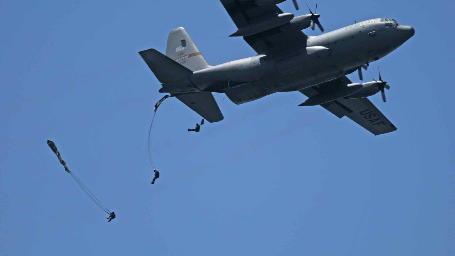
GIS provides a common operational picture to integrate inputs from sensors, individuals and other technologies to provide situational awareness

Three-year agreement between US Navy's Naval Meteorology and Oceanography Command and Esri will use ArcGIS to improve battlespace awareness.
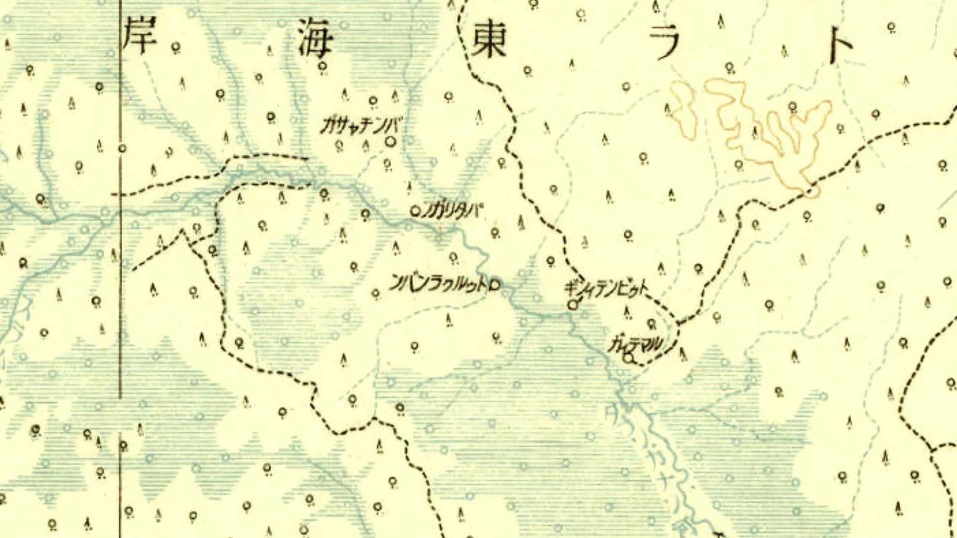
A web application developed by a Japanese university makes a priceless collection of historical maps available to the public.