When the Harvard Business Review runs headlines advising, “How To Grow Your Top Line in a Down Market,” it’s clear the business cycle may be turning. And while top-line growth deserves attention in any economic climate, many business executives are now looking for ways to ensure the bottom line won’t sag if the economy retreats.
In an effort to optimize operations in the face of economic uncertainty, major tech companies are searching for new sources of productivity gains while manufacturing executives are turning to digital services to streamline supply chains. Operational efficiency is once again in vogue.
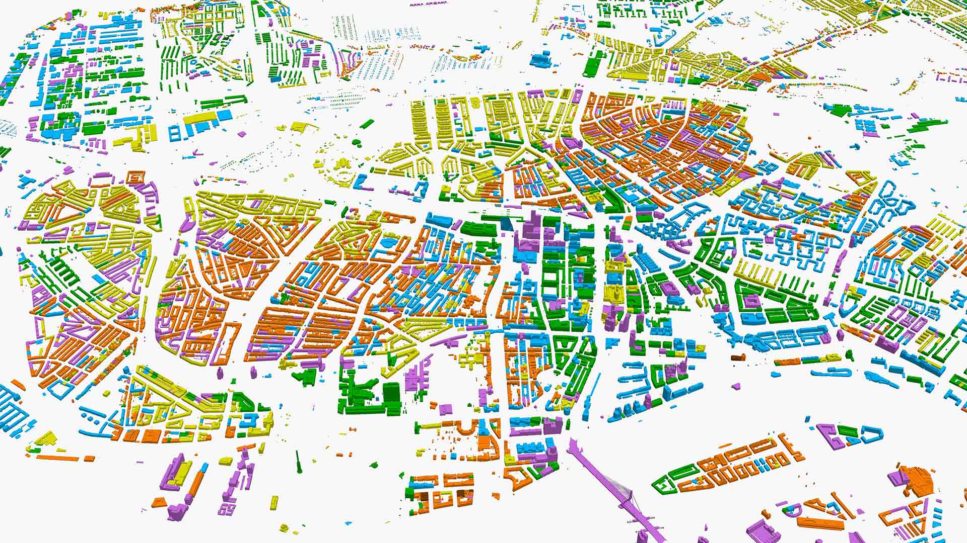
Many firms have found a geographic approach to business to be a surprising engine of efficiency. Maps and dashboards powered by geographic information system (GIS) technology equip decision-makers with a comprehensive view of assets and operations. Analyzing data from this spatial perspective makes it easier to detect redundancies, streamline processes, and find areas where technologies like automation or IoT sensors can speed up timelines.
Making these changes can have significant downstream effects. Research by McKinsey found that fast organizations outperform slower competitors on innovation, growth, organizational health, financial performance, and resiliency.
The business insight generated by GIS, known as location intelligence, helps leaders boost operational efficiency in three key ways:
- Minimize wasted movement
- Implement well-orchestrated business processes
- Reach decisions faster
Lean, value-oriented businesses also tend to be more sustainable, as streamlined processes often translate into smaller carbon footprints and less resource depletion. In most ways that matter, efficient business is good business.
Operational Efficiency Boost 1: Less Wasted Movement
For many firms, routine daily movements tend to be among the least optimized areas of business. A technician may take a route out of habit, even if it’s not the fastest. A manager coordinating service calls with a paper map may not be able to spot the operational efficiencies a location-aware algorithm can.
For information related to activities like deliveries, service calls, and routine maintenance, GIS acts as a single source of truth. Its location intelligence empowers leaders to quickly calculate drive-times, identify and rank priority locations, and ensure employees aren’t wasting time behind a windshield. Such awareness can boost productivity significantly.
For one health services company, a geographic approach was crucial to connecting nurse practitioners and physician’s assistants with patients requiring home visits. Inefficiency in the system meant that two clinicians sometimes were sent to the same location or had to squeeze too many appointments into a single day.
By feeding scheduling data into GIS route optimization algorithms, analysts discovered a more sensible distribution of appointments and routes, including which clinicians should be matched with which members.
Thanks to the insights of location analytics, clinicians cut 2,000 miles and 45 hours of driving time over a five-month period, leading to a new level of operational efficiency and significant cost savings.
An oil and gas exploration firm confronted similar inefficiencies in its maintenance organization. The company’s conventional approach was to send maintenance technicians to check remote sites regularly, whether the machinery needed repairs or not. A worker might simply be confirming the status quo at one well while another well hundreds of miles away needed urgent attention.
The solution: install IoT-enabled sensors on oil pumps, tank batteries, and pressure gauges, then feed the sensor data to GIS-powered smart maps. Viewing equipment status on a “single pane of glass” gave field asset managers real-time operational awareness. Now, technicians can reach a verified problem within minutes or hours, instead waiting days to make a calendared visit.
Such changes can also hasten a company’s progress towards net-zero commitments. Fewer field visits means less fuel consumed, less wear and tear on vehicles, and reduced carbon emissions.
Operational Efficiency Boost 2: Well-Orchestrated Operations
Executives at Fortune 500 businesses are discovering how smart maps can improve collaboration, communication, and project management, helping to overcome siloed data and snagged lines of communication between departments.
For one environmental impact assessment firm, data was not moving at the speed of business. When managers dispatched teams into remote areas to document animal and plant species, information was logged on paper, sent by mail to headquarters, and only then tallied in spreadsheets and analyzed. Five days might pass between the collection and interpretation of data, delaying the completion of client projects.
Location technology made these data gaps vanish. Now biologists in the field log species sightings and locations on mobile devices equipped with GIS apps. This means department directors can almost instantly spot if surveyors are on track, or if they happen to be in the wrong location. Meanwhile, executives have real-time access to the latest findings via intuitive, interactive maps, boosting efficiency and speeding client delivery.
At one of the world’s biggest energy companies, location technology has been key to smarter collaboration. The company maintains location-specific data on infrastructure like pipes and pumps, including each asset’s attributes, performance, and maintenance history.
Traditionally, that information was siloed, and sharing it required a time-consuming process of exporting, translating, and downloading data. When company leaders adopted a GIS platform and allowed multiple teams to access the same location data, they saw users’ efficiency increase by as much as 8 percent.
Operational Efficiency Boost 3: Faster Decision Making
Nearly any business looking to expedite workflows and improve operational efficiency will need to take a close look at its decision-making process. Often, decision-makers aren’t receiving all the information needed to make an assessment, requiring follow-ups and data requests that delay progress. A geographic approach can break through such stoppages by delivering data and location-based analytics in intuitive, interactive formats.
A Swedish government agency tasked with boosting business investment used GIS technology to create “digital dossiers.” These shareable smart maps showed executives abroad all the data they needed to know about potential business locations in the country. By graduating from a paper process to location technology, the agency delivered important facts faster, leading to a more efficient pipeline of economic investment and development in Sweden.
Similarly, the GIS team at a growth-minded insurance firm used dashboards to share AI-optimized insights with key executives, as detailed in a recent WhereNext article:
Machine learning, paired with GIS (a combination known as GeoAI) enabled the data science team to create algorithms that predicted the revenue potential of regions and ranked the performance potential of agencies the company might partner with.
The ability to quickly analyze location data also helped managers understand how an uptick in claims correlated with rising population levels in that market. Instead of chasing guesses, executives could base decisions on data-driven insights.
Business leaders today are confronted with much they can’t control, from inflation to geopolitical threats. That puts a greater burden on CEOs and COOs to optimize the operations under their control. A geographic approach—and the GIS technology that enables it—provides the accurate, real-time operational awareness that industry captains need to trim waste and strengthen operational efficiency as economic conditions waver.
The Esri Brief
Trending insights from WhereNext and other leading publicationsTrending articles

December 5, 2024 |

March 3, 2026 |

June 23, 2026 |

March 17, 2026 |

April 7, 2026 |

June 9, 2026 |