John Nelson
Connect:

I have far too much fun looking for ways to understand and present data visually, hopefully driving product strategy and engaging users. I work in the ArcGIS Living Atlas team at Esri, pushing and pulling data in all sorts of absurd ways and then sharing the process. I also design user experiences for maps and apps. When I'm not doing those things, I'm chasing around toddlers and wrangling chickens, and generally getting into other ad-hoc adventures. Life is good. You might also like these Styles for ArcGIS Pro: esriurl.com/nelsonstyles
Posts by this author
X-Ray cartography in ArcGIS Online

How to use blend modes and data-driven transparency to make a thematic map with imagery instead of regular old colors.

Continue Reading

Introducing UnemploymentPulse

UnemploymentPulse visualizes state and county unemployment rates as compact trend lines. Updated monthly.

Continue Reading

One Minute Map Hacks: 46-50

Five more minutes of hacking to save you at least six minutes of wondering.

Continue Reading

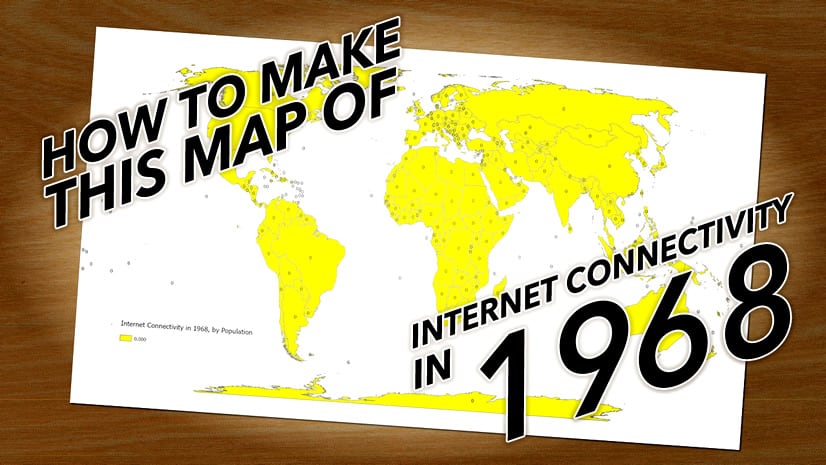
How to make this map of internet connectivity in 1968

Serious concepts...not so serious topic.

Continue Reading

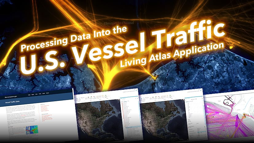
Vessel Traffic Processing in ArcGIS Pro

Create your own vessel traffic products in ArcGIS Pro

Continue Reading

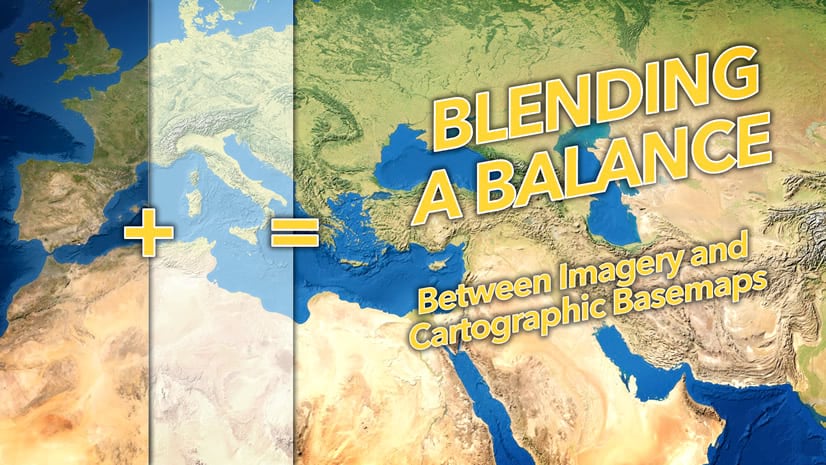
Blending a balance between imagery and cartography…cartimagery

You don't have to choose between an imagery and a stylized cartographic background for your map. The world isn't so rigid as that.

Continue Reading

Super easy way to make vintage coastal hatching

How to recreate that charming vintage coastal rake effect with tapered hatching lines.

Continue Reading

Breathing Earth: Arctic Sea Ice

How to create an animation of the seasonal dance of Arctic sea ice

Continue Reading

Top ten US national parks, by visitor count

Here's a comparative layout of the ten most popular US national parks. And how to make it!

Continue Reading

1 10 11 12 13 14 37