Thank you for visiting the ArcGIS Apps area at Esri’s 2026 FedGIS!
Below, we’ve put together some helpful information to get you more familiar with ArcGIS Apps.
What are ArcGIS Apps?
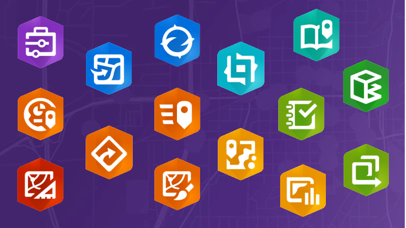
Visit each of our ArcGIS apps pages to learn more:
- App Builders
- ArcGIS Data Pipelines
- ArcGIS Dashboards
- ArcGIS Experience Builder
- ArcGIS Instant Apps
- ArcGIS StoryMaps
- ArcGIS Excalibur
- ArcGIS Earth
- ArcGIS Field Maps
- ArcGIS Flight
- ArcGIS Web Editor
- ArcGIS for AutoCAD
- ArcGIS GeoBIM
- ArcGIS Maps for Adobe Creative Cloud
- ArcGIS Navigator
- ArcGIS QuickCapture
- ArcGIS Solutions
- ArcGIS Survey123
- ArcGIS Workforce
- ArcGIS for Autodesk Forma
- ArcGIS for Microsoft
- ArcGIS for Microsoft 365
- ArcGIS GeoAnalytics for Microsoft Fabric
- ArcGIS for Power BI
- ArcGIS for Power Platform
- ArcGIS Connectors for Power Automate
- ArcGIS for Excel
- ArcGIS for Teams
- ArcGIS for SharePoint
- ArcGIS for Microsoft Fabric
- Map Viewer
We look forward to connecting with the community of ArcGIS Apps users. Below, you can find additional resources.
- Follow ArcGIS Apps on X
- Check out the Esri Community for ArcGIS Apps


Commenting is not enabled for this article.