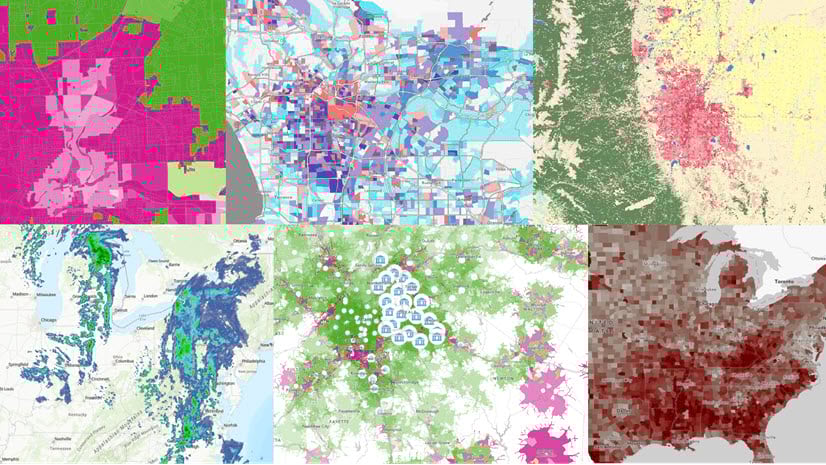
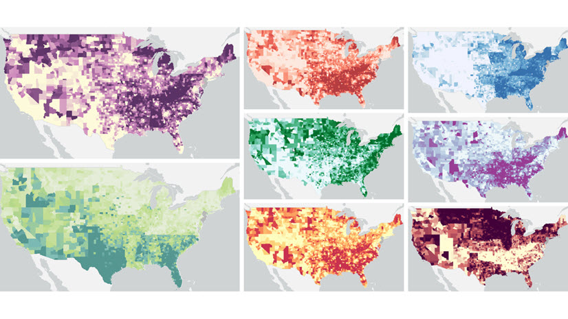
ArcGIS Living Atlas of the World enables all ArcGIS users to add in school locations or school district boundaries to their map, thanks to the work of long-time Living Atlas contributor National Center for Education Statistics (NCES). And now, it gets better. These school locations and school districts are now available with a wealth of attributes. The two new layers contributed by the NCES Education Demographic and Geographic Estimates (EDGE) Program allow you to use either schools or school districts as your unit of analysis, depending on your needs. You can incorporate attributes such as
- enrollment
- race/ethnicity of students
- student-teacher ratio
- virtual school status
- free or reduced-price lunch eligible
- charter or magnet school indicators
right into your mapping or analysis needs. At the school district level, see how many school sites there are, how many total teachers there are, and more.

Add both content and context to your mapping projects
Do you use web maps to teach students? Personalize the map by adding this Living Atlas layer of schools as reference so that kids can locate their school relative to the topic being taught. No matter what the topic is – climate, health, disaster response – simply adding schools can add familiar context for students and their parents, and increase their understanding of their community.
Do you work for an organization involved with child well-being, youth, or educators? These authoritative nation-wide layers can support your work since they are ready to map and ready to use in analysis. No longer do you have to process lists of addresses or join attributes to boundaries. Now, simply filter to your area of interest, and get to work quickly. The descriptive field aliases and pre-configured pop-ups make these layers easy to work with. You can create your own custom web map and modify symbology, pop-ups, labels, and more to fit your specific purpose. For example, filter down by charter or magnet school status, symbolize by student-teacher-ratio, or include total enrollment numbers in the schools’ labels.
Do you need school locations as a supporting layer to provide context for some other topic you’re studying, such as Broadband access? Simply overlaying school points with areas of low Broadband access can make a great advocacy map. My coworker Lisa Berry did this while creating a map entitled Where are schools that fall within areas of poor broadband/internet?
. Map opens in Chicago.")
Perhaps you need to perform analysis, such as creating buffers or walk-time polygons around schools, find the nearest school to your other features, or summarizing points based on which school district they are in. Feature layers allow for analysis in ArcGIS Online, ArcGIS Pro, and ArcGIS Insights.
Thank you, NCES!
These are just the latest two items from NCES in Living Atlas. There are many more, such as Private School Locations, Postsecondary School Locations, School District Offices, and School Neighborhood Poverty Estimates, all available for you to use. ArcGIS Living Atlas is a curated collection of authoritative, best of breed content from Esri, Esri partners, and the GIS user community. Thanks NCES for sharing these well-documented, authoritative resources with the community of GIS analysts worldwide.
How will you use these rich feature layers in your work?


Article Discussion: