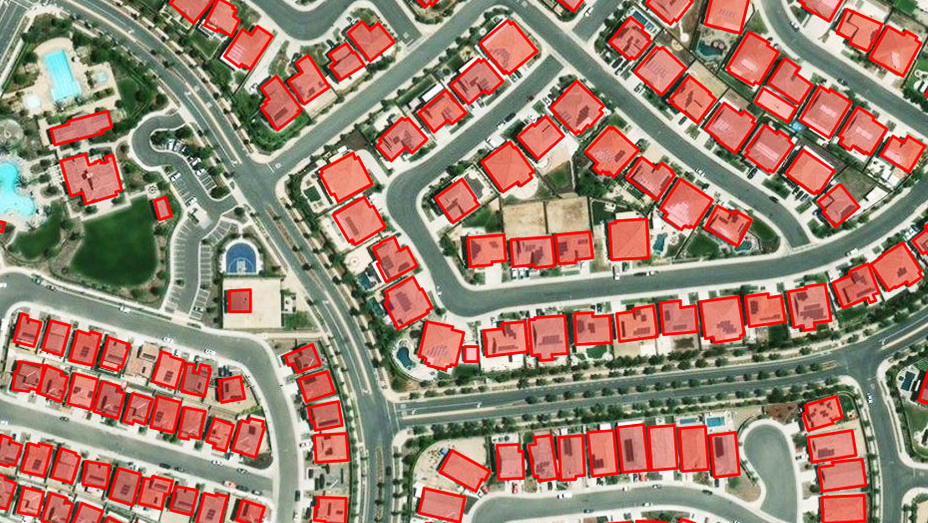
Ready-to-use pretrained deep learning models
Eliminate the need for huge volumes of training data, massive computing resources, and extensive artificial intelligence (AI) knowledge.
Ready-to-use pretrained deep learning models
The ArcGIS Imagery MOOC: Foundations and Frontiers
Imagery and remote sensing in GIS
Imagery gives insurance companies a clear picture
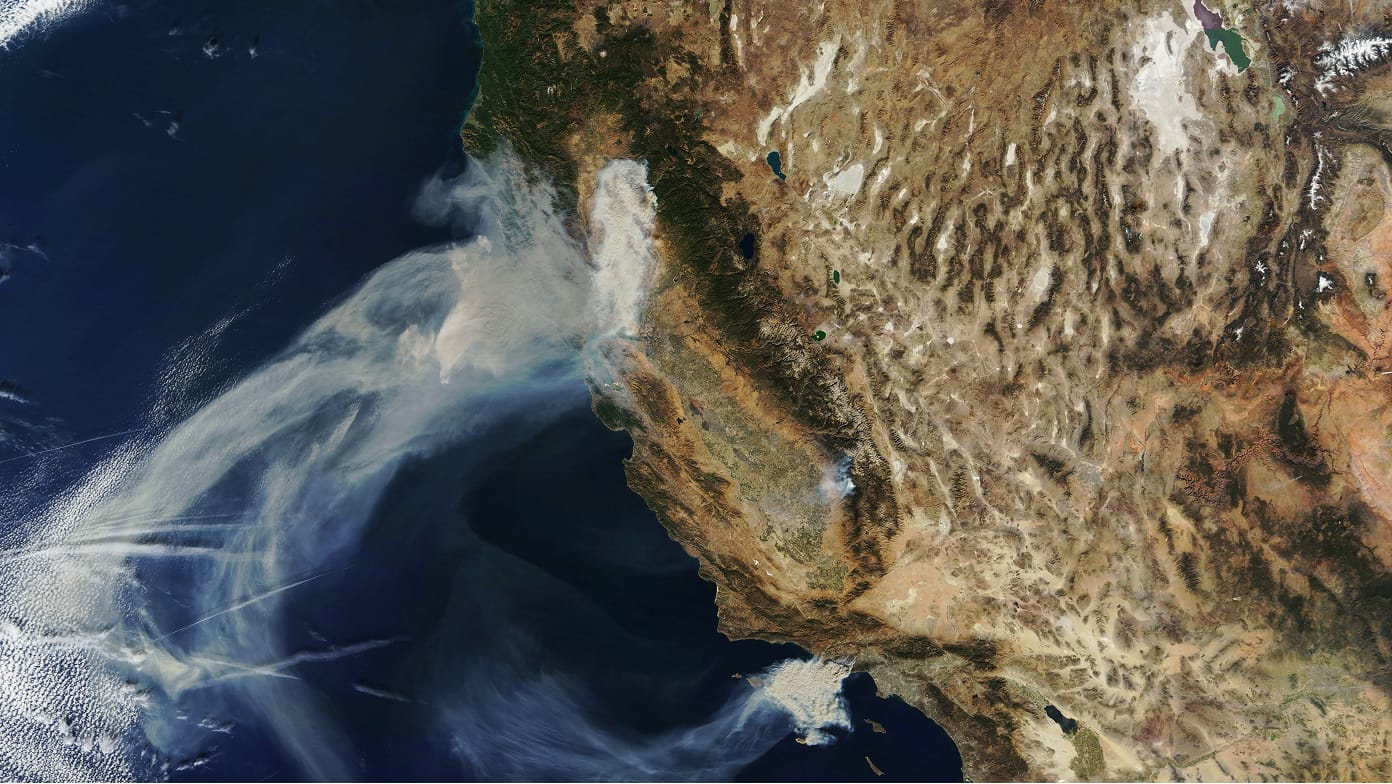
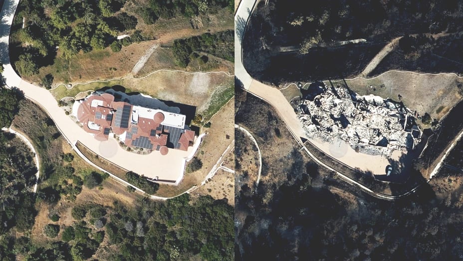
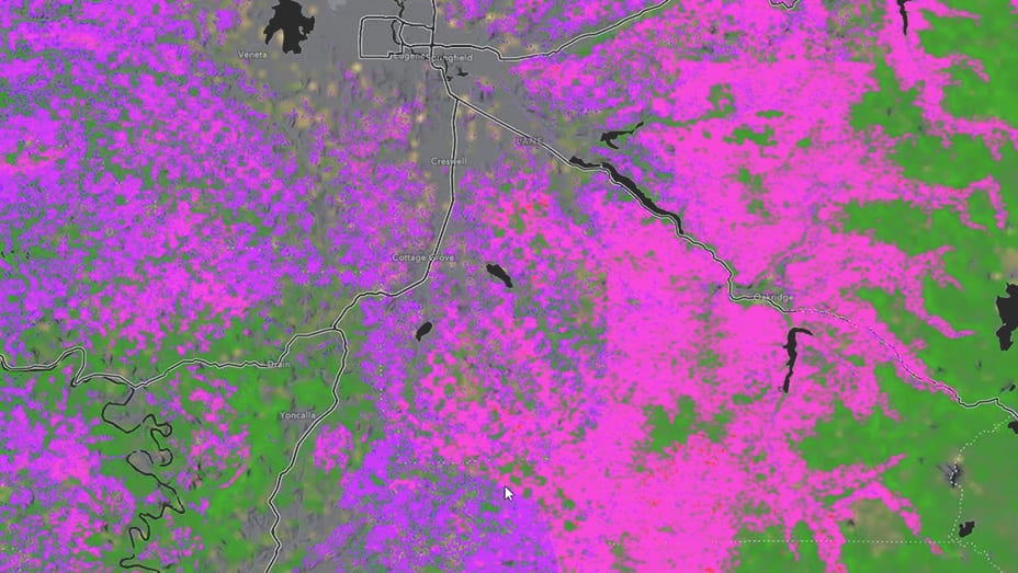
Remote sensing for wildfire management
United Stated Census Bureau: Address canvassing
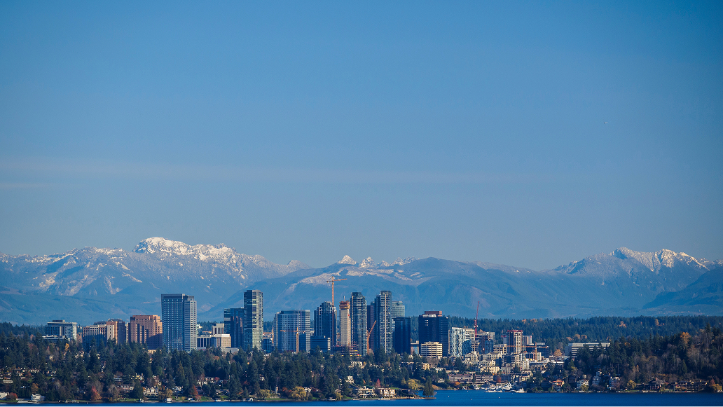
King County modernizes imagery access

South Carolina enhances emergency management
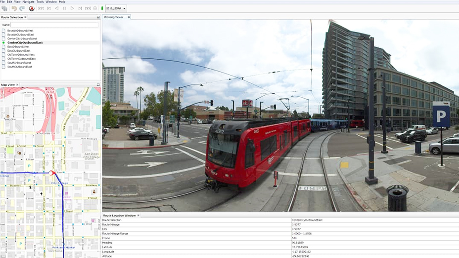
Metropolitan transit
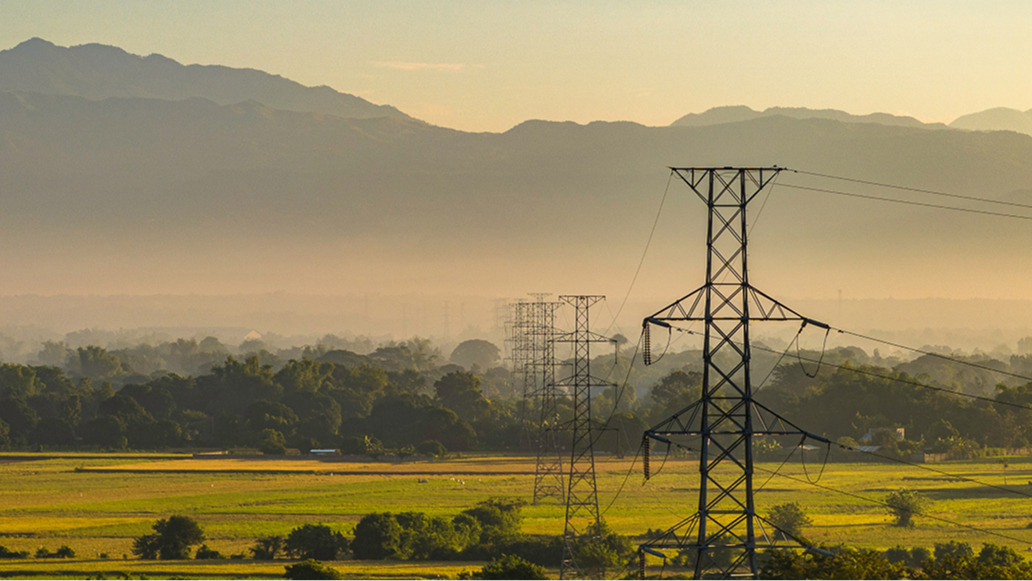
Transpower boosts vegetation management with GIS

Tuvalu preserves its identity with a digital twin
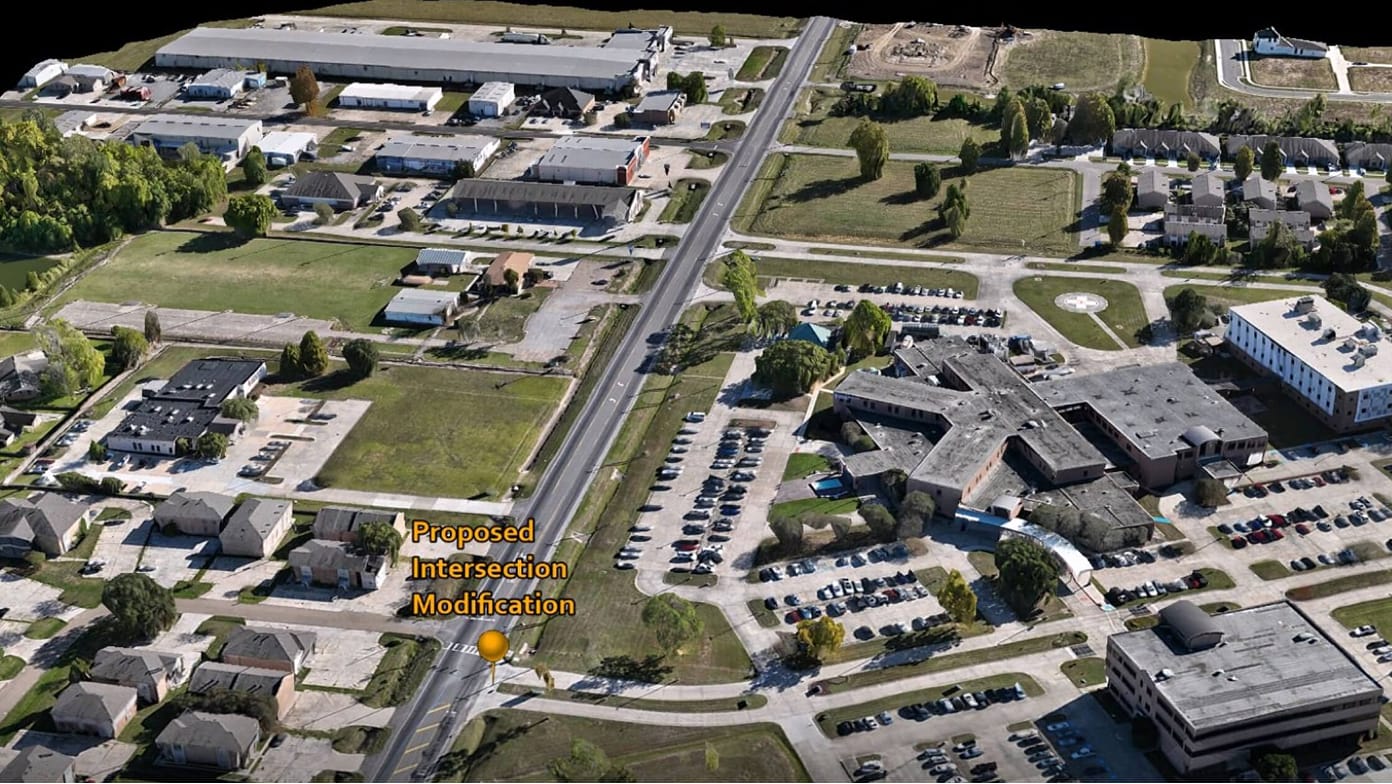
Louisiana modernizes infrastructure construction
Utah county optimizes planning with drones and GIS
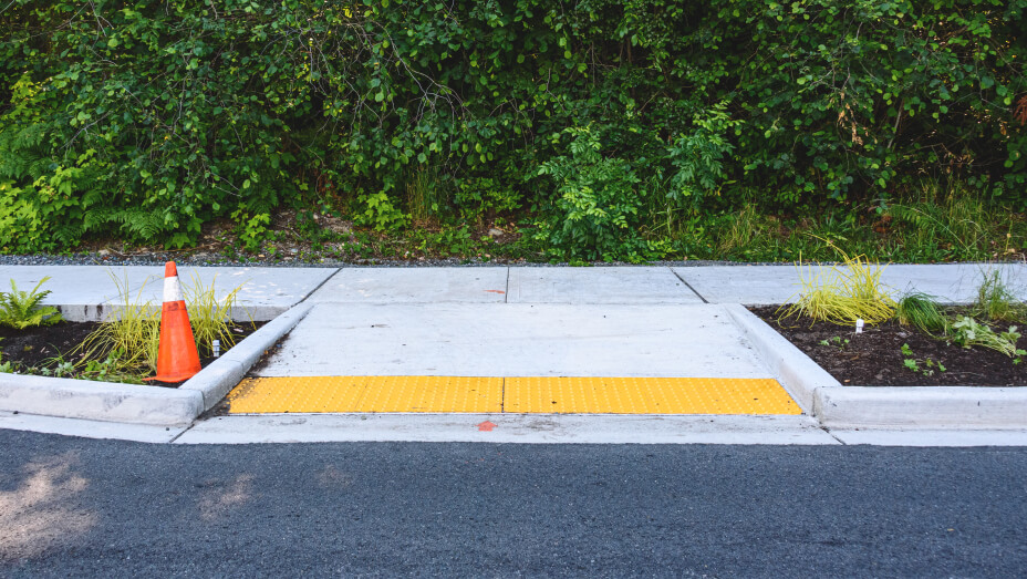
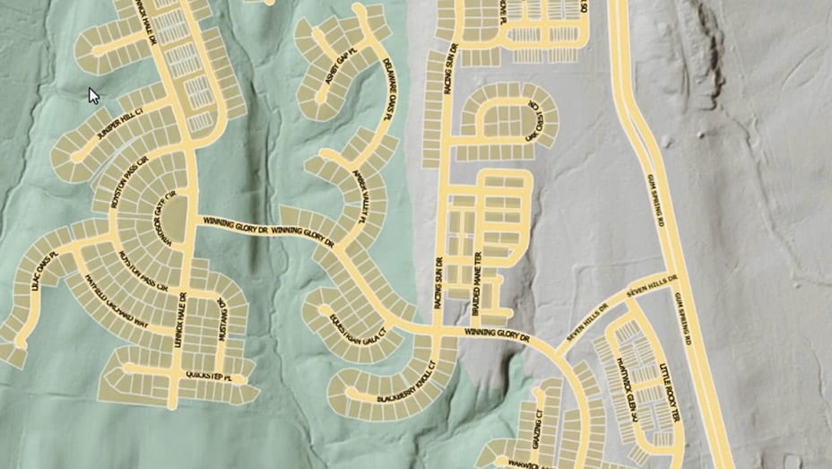
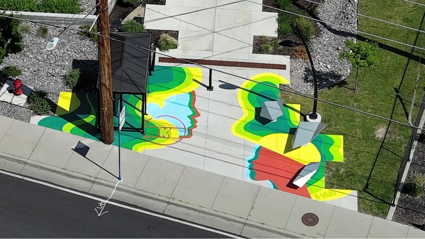
Douglas County: Using GeoAI for ADA Compliance
USDA Forest Service: Conservation
Paraguay’s space agency prepares for the future
GeoAI helps stave off tree pest infestation
Not sure where to start with imagery?
The imagery workflows site provides a starting point for accomplishing common imagery tasks using ArcGIS. Gain practical skills for tasks like managing drone imagery, managing scanned maps, performing site suitability analysis, using deep learning for object detection, and much more.
We're constantly adding workflows, so keep an eye on the gallery for new resources.
