Esri Infrastructure
Esri Infrastructure focuses on the planning, delivery, and operation of assets, networks, projects, and IT systems within organizations to support a modern, sustainable, and resilient future. By leveraging GIS, organizations can model and connect the built, social, and natural worlds. This enables advanced visualizations and analytics across the entire infrastructure lifecycle, helping to foster stronger relationships and more efficient use of resources.
Posts by this author
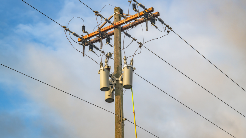
Turning Inspection Imagery into Enterprise Asset Intelligence at Sulphur Springs Valley Electric Cooperative
SSVEC has engaged AerialSphere's team to convert these photos into ArcGIS native content using their XPGEO Studio web app
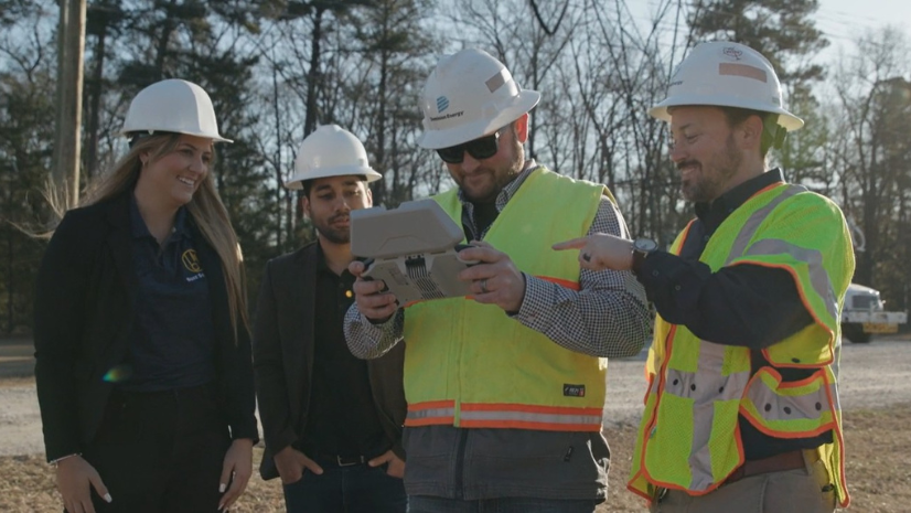
Dominion Energy Transmission Improves Asset Management with Visual AI
Dominion Energy modernizes grid inspections using visual AI and GIS to support growth driven by data centers and AI.
GIS Enables N1 to Outmaneuver Historic Storm Surge
Geoinfo A/S and N1 developed a data-driven situational awareness and response tool using ArcGIS in less than 24 hours
Washington City Power Modernizes with ArcGIS Utility Network
Since implementing ArcGIS Utility Network, WCP has seen significant operational improvements.

Real-Time GIS Dashboard Enhances Critical Outage Response
Offering clear outage summaries, and priority-based views, the dashboard enables more efficient responses to critical outages.
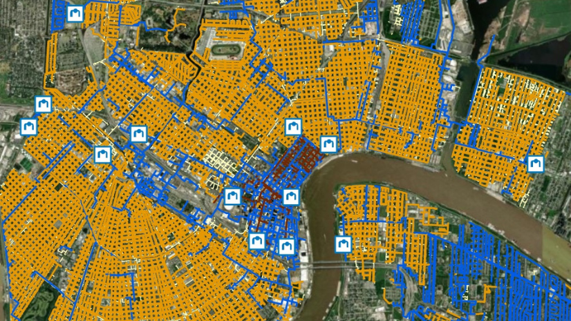
Migrating Gas Assets to the Utility Network for Delta Utilities
Delta Utilities, a gas utility serving the Louisiana region, embarked on a strategic journey to migrate to ArcGIS Utility Network
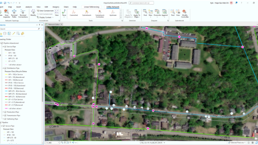
Hope Gas Expands its Utility Network GIS for Service Growth
Hope partnered with RAMTeCH to implement a comprehensive GIS integration solution
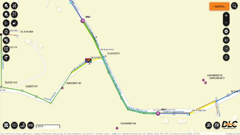
Pioneering Grid Modernization with ArcGIS Utility Network
DLC adopted an enterprise-wide modernization to digitize network management and processes, building a sustainable, well-governed system
Uniting the UK Water Sector Through Open Data
Uniting the UK water sector through open data, Stream uses Esri’s platform to boost collaboration, innovation, and transparency.