Esri Infrastructure
Esri Infrastructure focuses on the planning, delivery, and operation of assets, networks, projects, and IT systems within organizations to support a modern, sustainable, and resilient future. By leveraging GIS, organizations can model and connect the built, social, and natural worlds. This enables advanced visualizations and analytics across the entire infrastructure lifecycle, helping to foster stronger relationships and more efficient use of resources.
Posts by this author
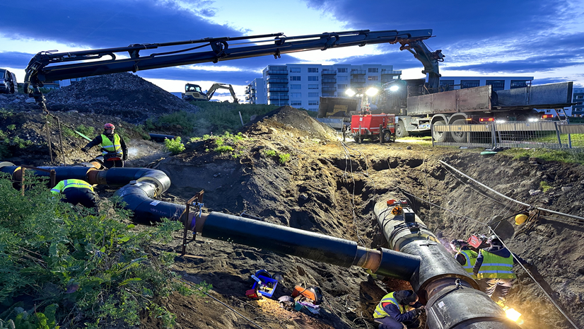
Veitur Utilities Builds a Connected, Data-Driven Enterprise with ArcGIS
Veitur uses GIS, smart meters, and AI to transform utility management—boosting efficiency, transparency, and hazard preparedness.
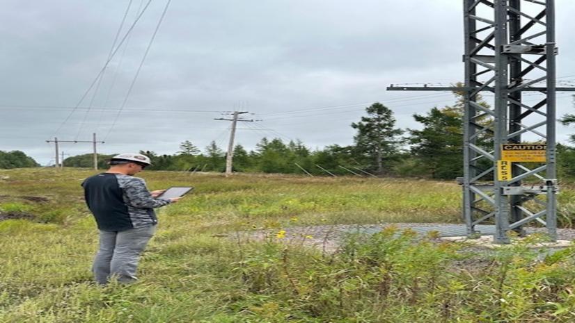
High West Energy Automates Substation Inspection with GIS
When HWE switched over to ArcGIS, it was a night and day difference.
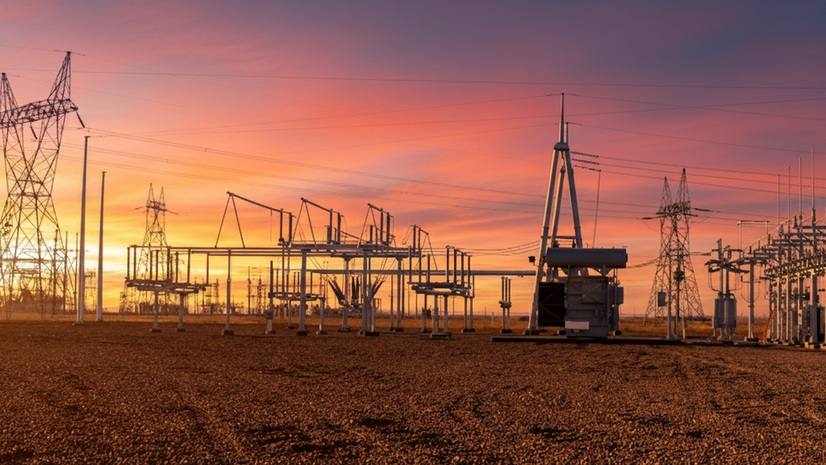
GIS and Maximo at Great River Energy: Accurate Asset Data, Solid Processes, Powerful Results
Great River Energy started a project to connect GIS data with Maximo. This made it easier to get data, get it right, and make decisions.
PLN Perfects Power Inspections with AR and GIS
PLN’s breakthrough came with the adoption of ArcGIS, integrated with augmented reality (AR).
Smarter Land Planning with GIS at TNB: The GeoLVI Story
GIS improved the efficiency of land acquisition cost estimation to support TNB's the growing demand for infrastructure development.
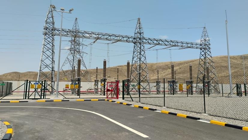
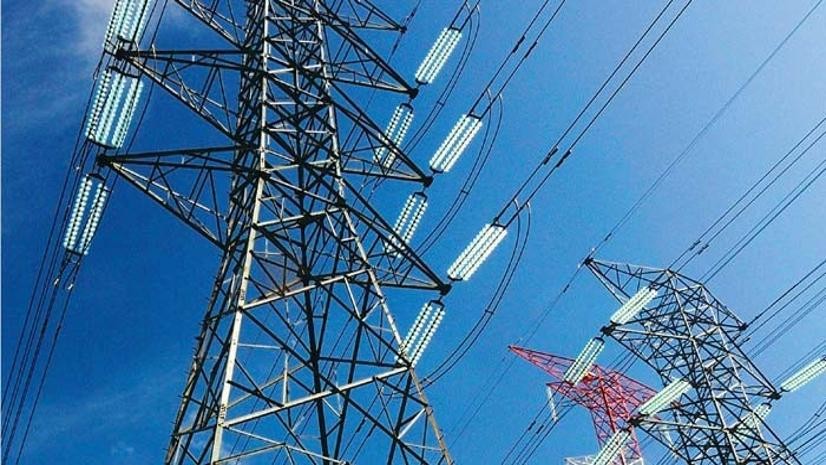
Empowering OETC with Self-Service GIS Solutions
OETC (Oman) made a series of web apps and dashboards that gave employees and customers control.
ArcGIS: ITC’s Smart Defense
ITC turned to ArcGIS to modernize, automate, and improve how it collects encroachment data on its properties.
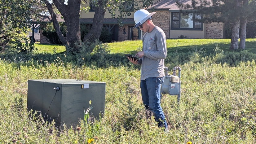
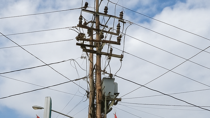
Enhancing Inspection Workflows for an Electric Cooperative
Wheatland Electric streamlined fieldwork and reduced the time to analyze inspection and repair information.
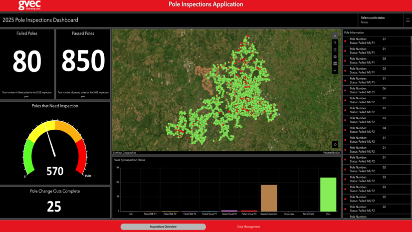
Inspecting with Ease: GVEC’s Journey to Efficient Pole Inspections
GVEC increased the efficiency and transparency of its pole inspection process.