Most recent
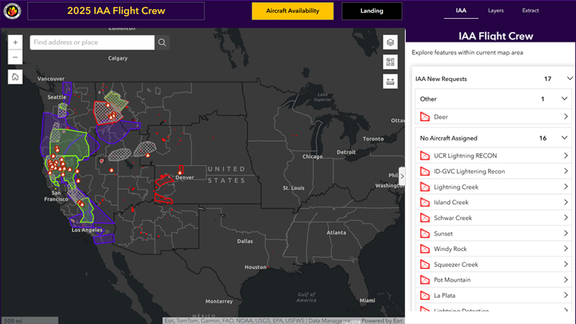
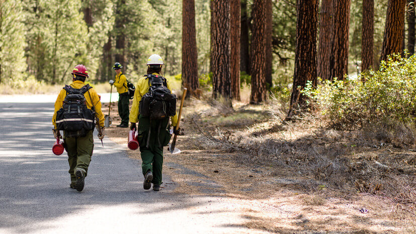
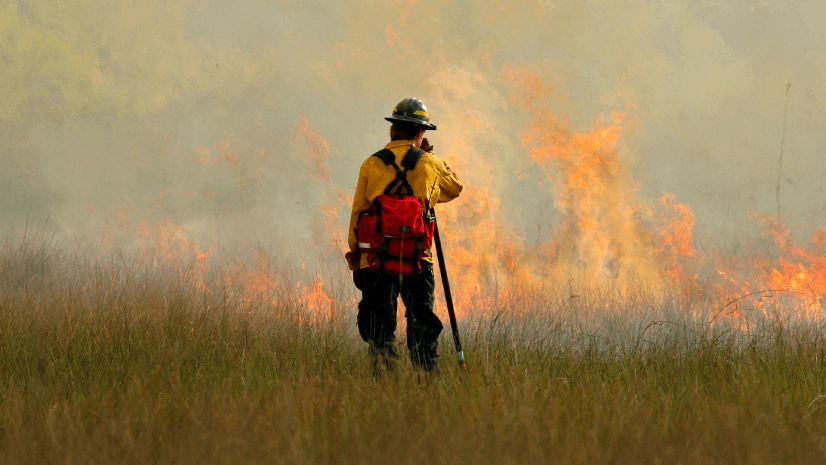
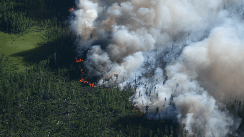
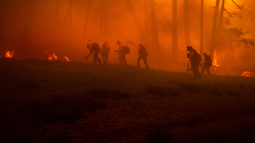
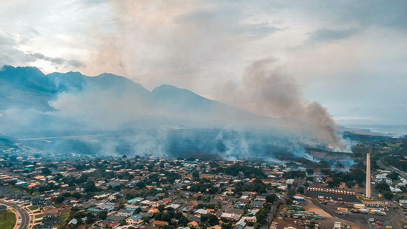
IAA: The Wildfire Intelligence Program You’ve Probably Never Heard of But Definitely Rely On
Meet IAA: the interagency wildfire intelligence program using aircraft and satellites to detect fires and deliver real-time mapping nationwide.
Multiple Authors| December 9, 2025
City of Scottsdale Gets Homes Wildfire Ready
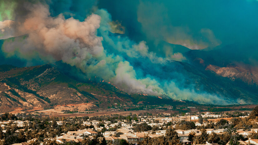
A New National Platform Transforms Wildfire Data into Actionable Insights
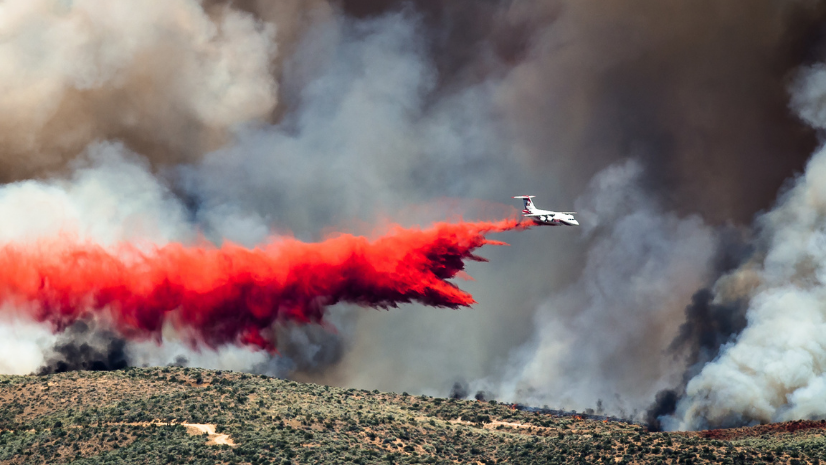
Seeing the Big Picture: Remote Sensing in the Wildfire Technology Toolkit

Unlocking NIFC's ArcGIS Online Organization: Data and Tools for Every Wildland Firefighter
The Backbone of Wildfire Intelligence: Foundational Layers for Analysis and Action
Turning Recommendations into Action: Why the Alliance for Wildfire Resilience’s Legislation Tracker Matters
What’s Burning and Where? Essential Apps and Reports for Wildfire Situational Awareness
Building Your Wildfire Toolkit: A Quick Start Guide to Wildfire Intelligence
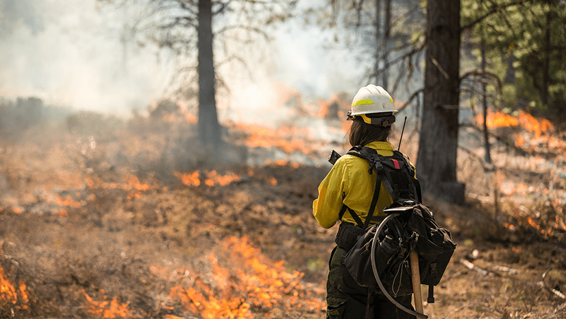
Before It’s Too Late: Making Every Moment Count in Wildfire Preparedness
Multiple Authors| March 18, 2025
On the Map: Keeping Responders Safe with Real-Time Location Sharing
Multiple Authors| February 20, 2025
Taking Flight: Real-Time Aircraft Tracking with ArcGIS Velocity and FlightAware
Multiple Authors| January 23, 2025
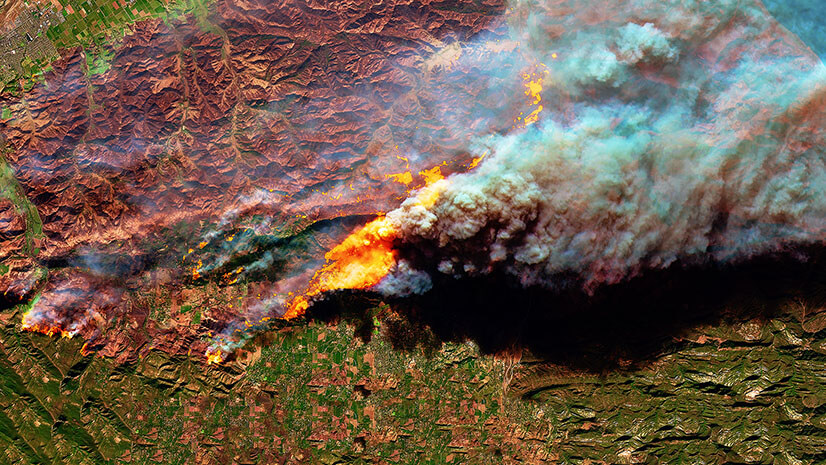
Harnessing Satellite Technology for Wildland Fire Response and Recovery
Multiple Authors| October 3, 2024
Lost and Found: How ArcGIS and GPS Change Location Sharing in the Wild

Get Ready for the 2024 Esri Safety Security Summit (ES3) & Users Conference (UC) in San Diego!
Revolutionizing Evacuation Planning with Location Intelligence
Revolutionizing Evacuation Planning: Addressing the Challenges in Wildland Fire Response
From Paper to Pixels: Rethinking Community Wildfire Protection Plans
Multiple Authors| November 30, 2023
GIS and Artificial Intelligence for Precise Damage Assessments
Multiple Authors| March 1, 2023
A Holistic Approach to Managing Wildland Fire Risk with ArcGIS