Most recent
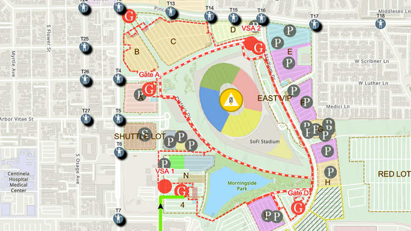
One City, One Common Operating Picture: How Inglewood Used ArcGIS to Support World Cup Operations
As FIFA World Cup 2026 hit North America, Inglewood, CA had its own high-stakes story: how technology helped the city keep pace.

ArcGIS: ITC’s Smart Defense

Multiple Authors|
Leveraging Agriculture Intelligence to Ensure EUDR Compliance in the African Coffee Industry

Why AEC Firms Should Move from Desktop Licenses to Named User Licensing for ArcGIS

Esri Water|
System Sunset, Scramble, and Solution: A GIS Survival Story

Headed to Trimble Innovate 2025? Be Sure to Connect with Esri!
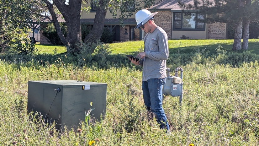
Enhancing Inspection Workflows for an Electric Cooperative
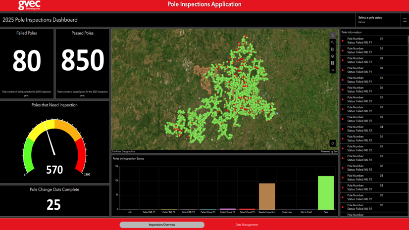
Inspecting with Ease: GVEC’s Journey to Efficient Pole Inspections

Four Reasons to Attend the Esri Planning Directors Summit
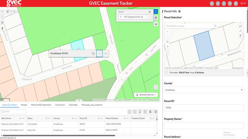
Guadalupe Valley Electric Cooperative Streamlines Easement Tracking
Location Empowers Environmental Consulting: A Journey with Geospatial Solutions

Esri Extends its Decades-Long Support for the GPN with a Wide Variety of Resources at GIS-Pro in the Rockies 2025

Esri Telecommunication Team|