Michigan Technological University Puts Historical Photos in Their Place
A project to add location details to old photos provides geographic context to places that have been lost to history.
February 2026

A project to add location details to old photos provides geographic context to places that have been lost to history.

Using text and images, develop a compelling narrative to propose tree-planting projects that build climate resilience.
Solutions engineer Jeremiah Johnson talks pilot training, learning resources, and what skills you need to be successful in the field.
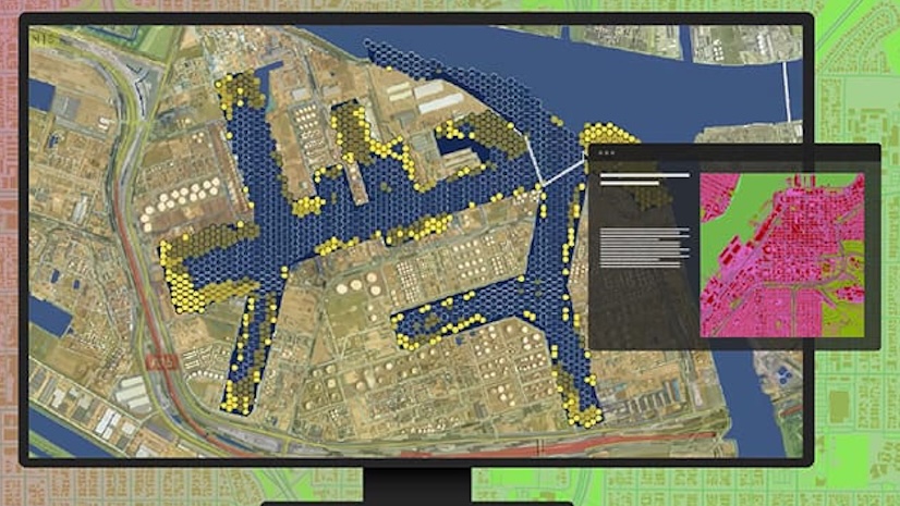
A centralized platform enables real-time workflows and cross-department coordination.
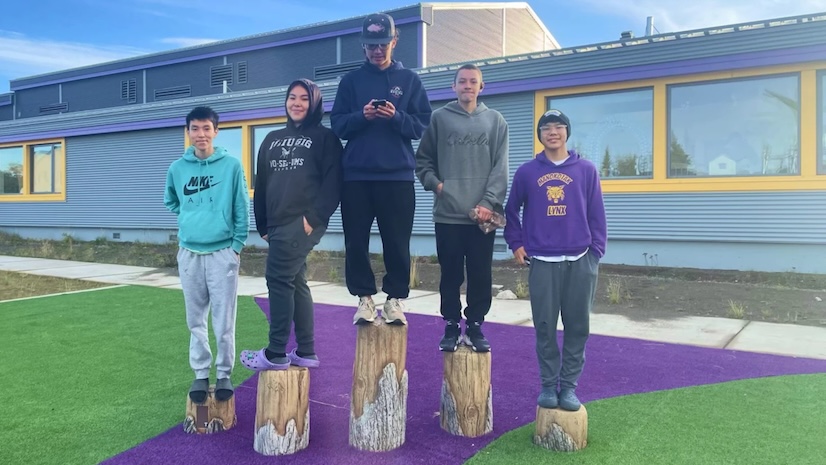
Students in a technical education school explore geospatial concepts, gather and analyze data, and make maps to display findings.
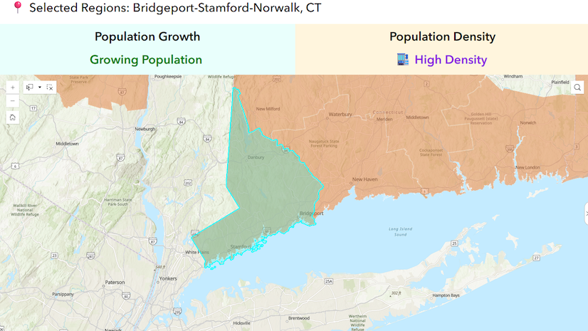
Discover how GIS and data-driven design empower communities to overcome challenges, build resiliency, and plan for a sustainable future.
The RainFocus event marketing platform streamlines registration, content, and on-site operations for the Esri User Conference.
This book from Esri Press uses straightforward tutorials to help you learn and immediately apply complex Python skills and techniques.
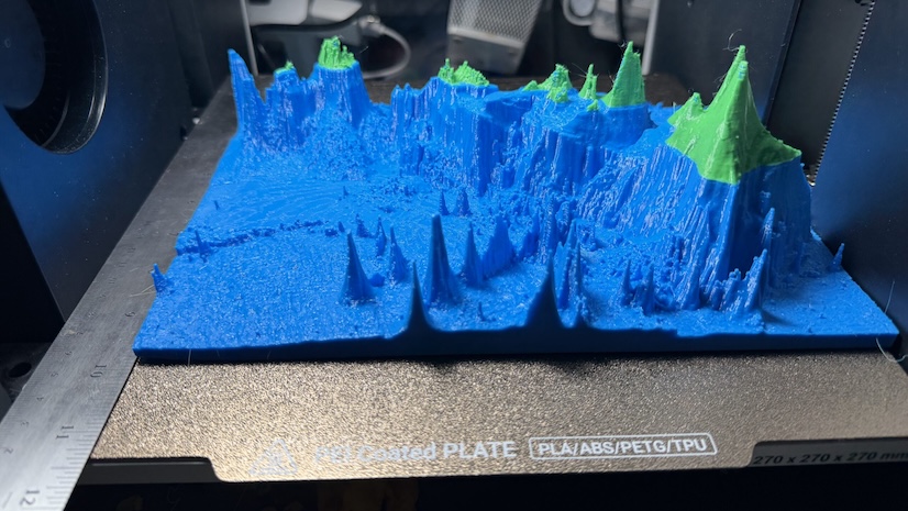
A new ArcGIS Pro add-in lets you export STL files and post-process the open mesh into a watertight, 3D-printable model.
Learn to add advanced dynamic content to text widgets and dynamically style a list or button widget icon.
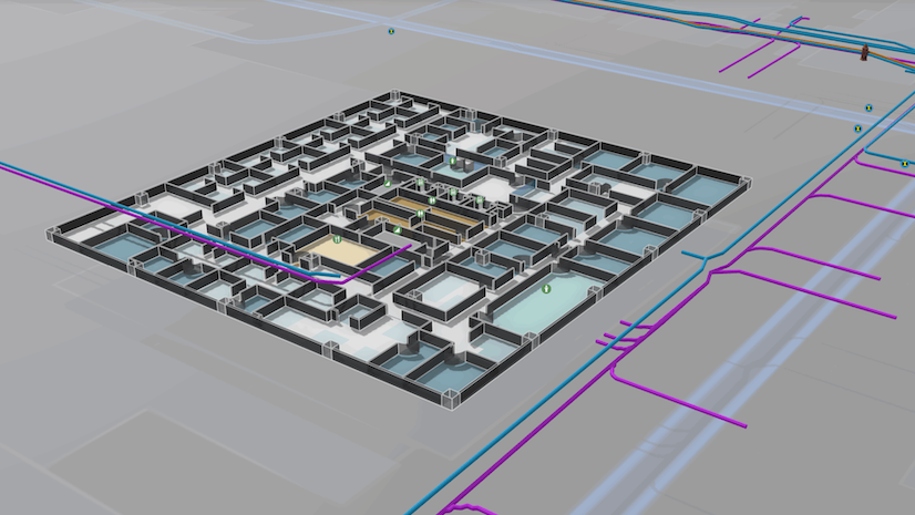
Esri’s indoor positioning system combines powerful mapping and live location technology to transform how people navigate and manage assets.
GIS tools help Alabama’s State Wildlife Action Plan team collect expert input, map species locations, and organize data for preservation efforts.
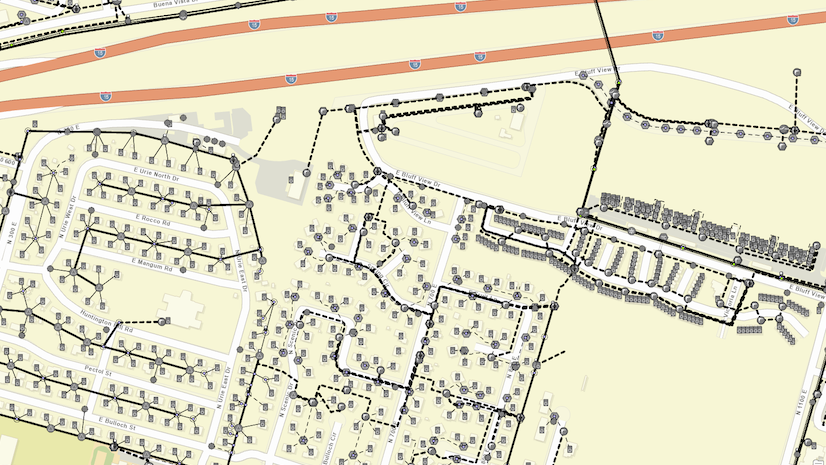
The strategic upgrade delivered real-time network visibility and streamlined processes across departments, improving outage response times.
Mapping and heat analysis helped determine where to plant 5,000 trees in the Tennessee city.
Learn the skills needed to leverage GIS capabilities that enhance the value of CAD data and how to infuse CAD data into GIS workflows.
Build skills to design and share apps that feature dynamic GIS capabilities and content in a free course. ArcGIS software is provided.
On March 26, explore metadata's role as a critical enabler of AI readiness and the latest ArcGIS features that support content governance.