displaying 262 results

Anonymized data from mobile phones allows scholars and researchers across diverse fields to find hidden truths in human mobility patterns.
At the University of Vermont’s Spatial Analysis Lab, students learn how to use remote sensing to address pressing environmental problems.

Activities to rebuild Afghanistan gained benefits from efforts to create a detailed and up-to-date map of the country.

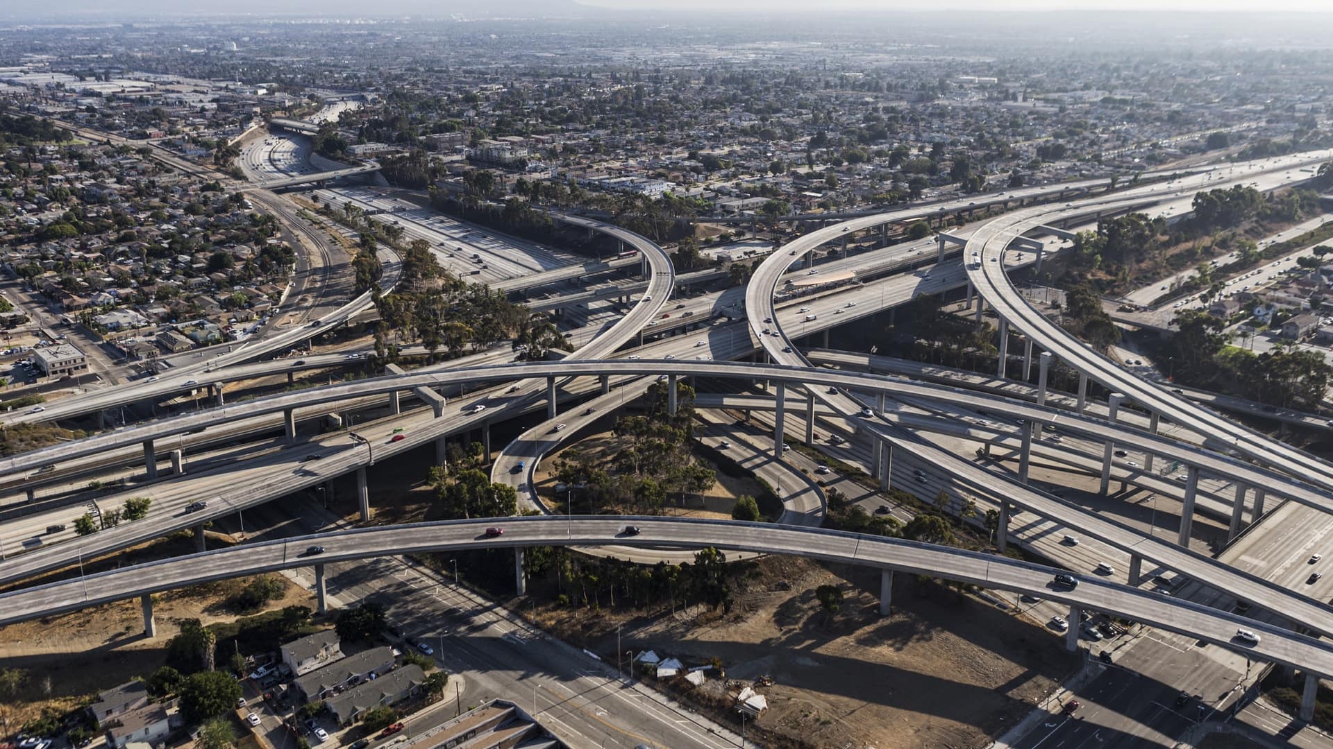
Seattle uses GIS to understand the implications of its gangbuster growth on land and people.
Mapping Black California unites community media, educational institutions, and other organizations around GIS to encourage collaboration.
California Environmental Protection Agency has pioneered a unique geographic approach to apply principles of environmental justice.

Humanitarian organizations empower Nairobi’s vulnerable populations with location information.

Maps that convey the pain of cycles of poverty and punishment are central to an advocacy effort that led to legislation in New York State.

The Presbyterian Church set out on a mission to document the forces pushing Hondurans, Guatemalans, and Salvadorans to leave their home countries
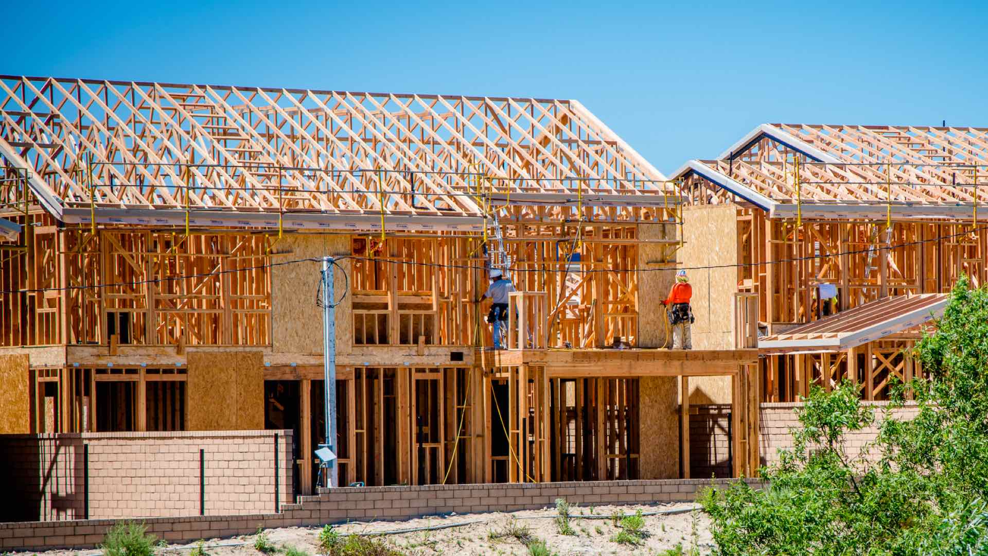
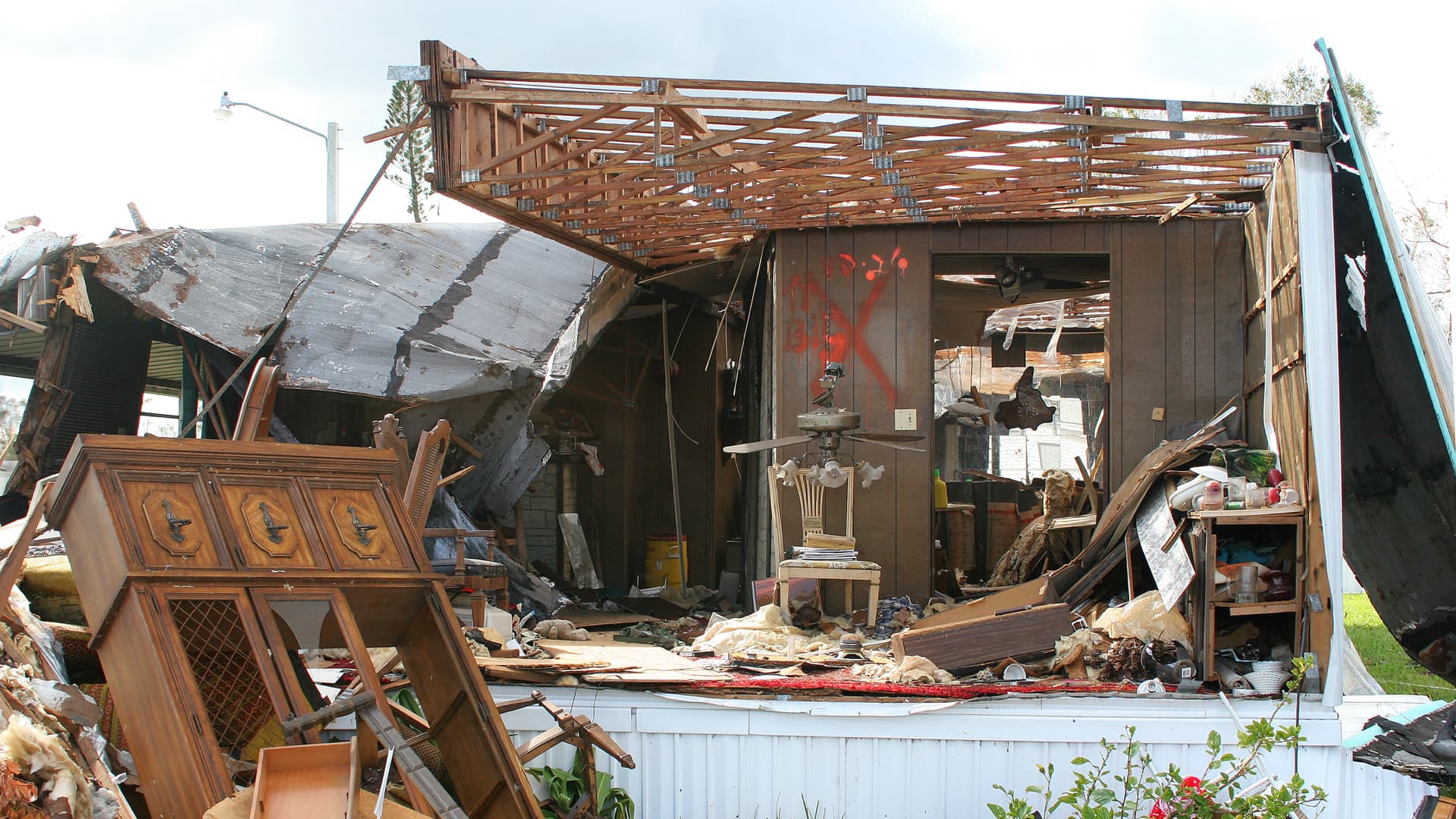
To avoid residents of mobile home parks being permanently displaced, town employees create maps to allocate land for affordable housing.
Location intelligence helps deliver civil legal aid to the most vulnerable populations.
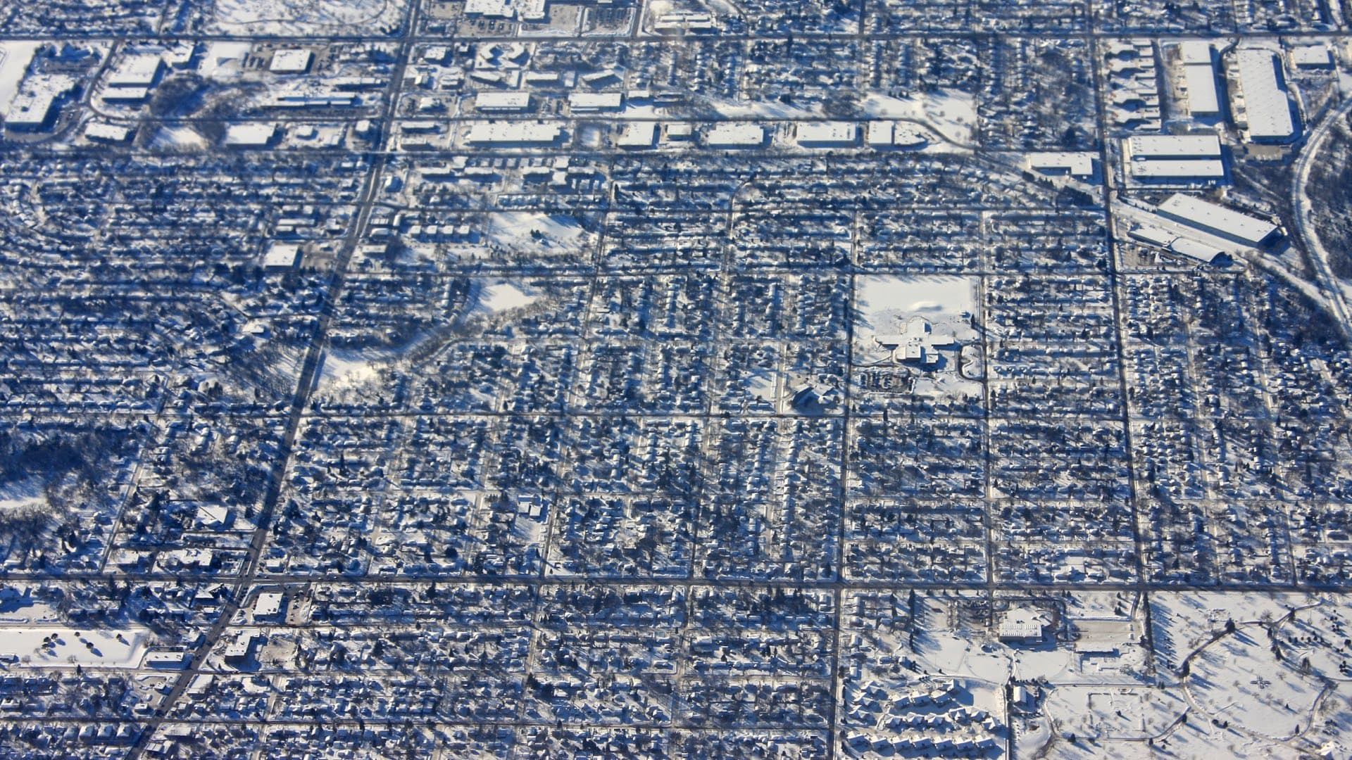
Mapping the history of racial segregation in Minneapolis reveals lasting impacts.