Nine out of 10 of the world’s largest companies have at least one asset exposed to climate risk, according to new data from S&P Global Sustainable1. Over one-third of those companies can expect that asset’s value to drop by 20 percent or more.
For decades, climate change has loomed as a nebulous global threat. Now, new data tied to specific assets and locations makes the potential consequences tangible for business leaders.
These datasets can help executives calculate the financial impacts that unchecked climate risk could have on their organization. The engine behind that business insight is called location intelligence—information gained from visualizing and analyzing data in a geographic context.
Already, some of the world’s largest companies are using location intelligence generated by digital maps and spatial analytics to answer questions about where critical assets are located and what climate events might threaten those resources. With precise knowledge of where to take action and what risks to prepare for, business leaders can create climate resilience plans to protect their most valuable assets.
Mapping Critical Assets and Climate Data
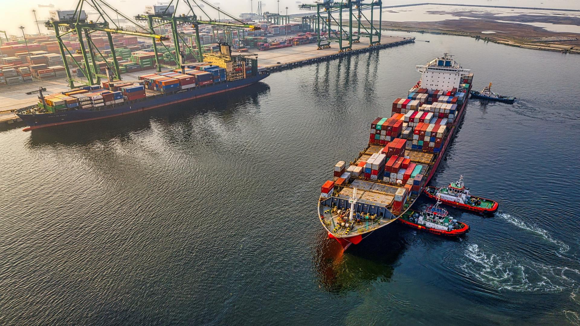
Knowing where vulnerable assets are located is the first step in determining the climate risk an organization faces. A port warehouse in Florida, for example, could flood as sea levels rise, while a power plant in the United Kingdom may need protection from increasing heat waves.
With digital maps—and their dynamic 3D counterparts, digital twins—informed decision-makers visualize the location and condition of almost any kind of business asset, from a broadband telecom network to a portfolio of retail stores or even a company’s IT infrastructure.
Maps created with a geographic information system (GIS), add important context to those views. For instance, a map of business locations layered with environmental data—weather patterns, recent hazardous events, air quality indices—reveals where specific risk factors threaten assets, paving the way for targeted intervention.

With location intelligence to understand exactly where climate risk could impact their business, executives can create plans to protect their most important assets.
Modeling Outcomes and Planning for Resilience
The use of location intelligence to address asset-related risks plays out in two areas of a business: real-time awareness and long-term planning.
Real-time awareness is critical to security and emergency response teams who visualize spatial data on maps to understand imminent threats like hurricanes, floods, public health crises, and wildfires.
Strategic planners use GIS-based analytics to model what might come next, whether it’s a year, three years, or decades from now. Spatial analytics draws on information about what has happened, where, and when, enabling planners to identify patterns and create models of the future. These projections can reveal climate-related risks through natural disaster forecasts or supply chain simulations.
With that insight, executives use geospatial artificial intelligence, or GeoAI, to analyze location data and more quickly answer complex questions: What are the revenue impacts of closing a store that’s vulnerable to wildfires? How will customer spending change if we move a distribution center out of a region with worsening hurricanes?
GeoAI helps executives understand the tradeoffs involved in managing risk while growing a business. Those tradeoffs are becoming clearer thanks to more precise data—which some attribute to a “nervous system of the planet”—as well as increasingly powerful analytics technology like GIS.
For business leaders focused on resilience and continuity, maps and predictive models add context and specificity to risk assessments, enabling precise, decisive action that protects assets in the face of a foreboding future.
The Esri Brief
Trending insights from WhereNext and other leading publicationsTrending articles

December 5, 2024 |

March 3, 2026 |

June 23, 2026 |

March 17, 2026 |

April 7, 2026 |

June 9, 2026 |