Most recent
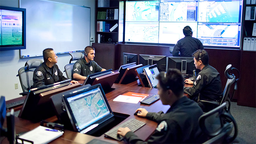
Carlsbad Fire Turned Its Data into a Story the Community Can Use
Carlsbad Fire shows how a small cross-disciplinary team transformed static fire reports into an interactive public experience using ArcGIS.
NFPA 1750 Changes the Conversation
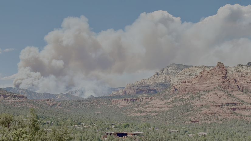
Sedona Fire District: Modernizing Emergency Response with ArcGIS
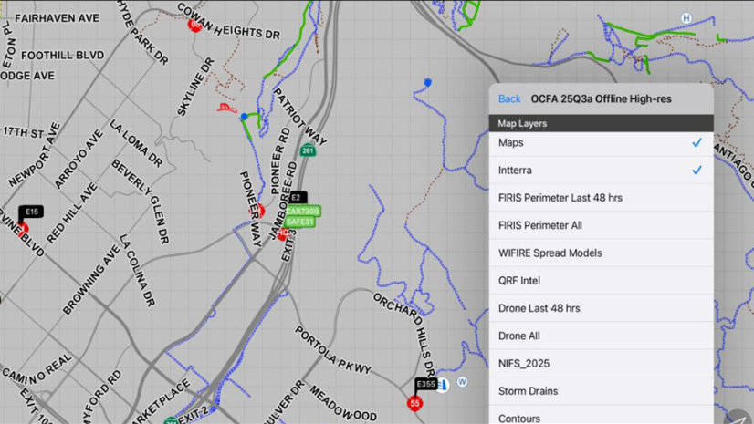
Turning Static Fire Maps into Trusted Operational Intelligence
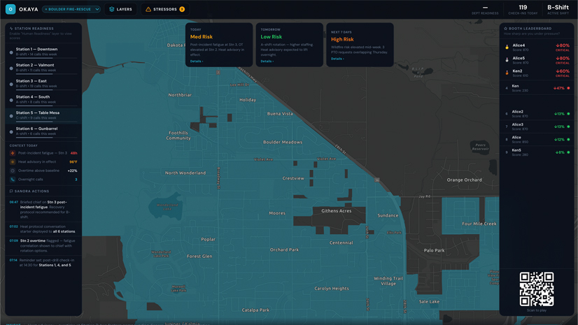
The Layer You’re Missing
Multiple Authors| March 18, 2026
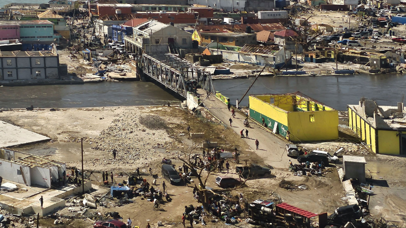
Jamaica’s Preparedness and GIS Readiness Drove a Successful Hurricane Melissa Response

Turning Data into Decisions: How FDNY Used GIS to Lead Hurricane Helene Response
Multiple Authors| December 9, 2025
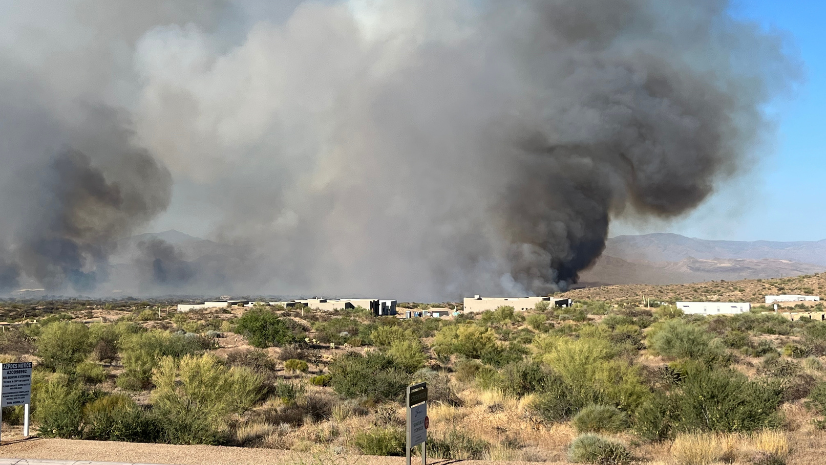
City of Scottsdale Gets Homes Wildfire Ready
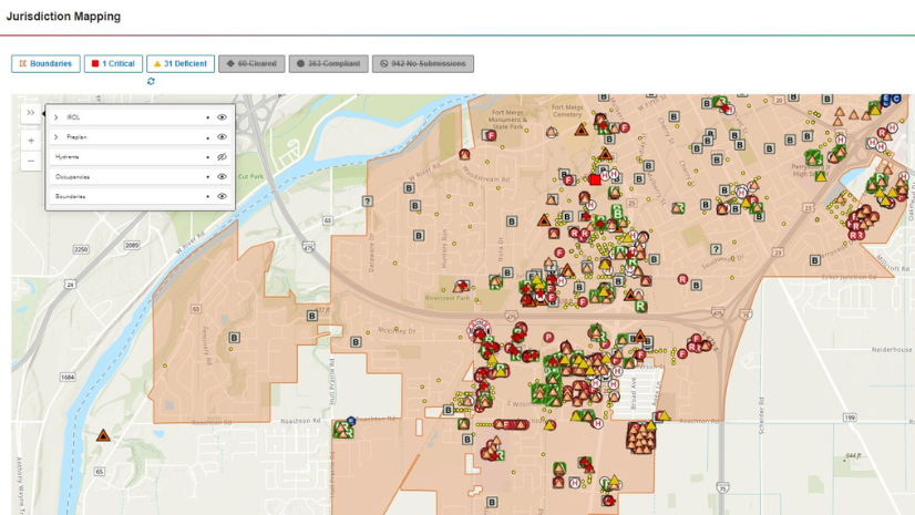
From Good Intentions to Good Data

Multiple Authors| August 30, 2025
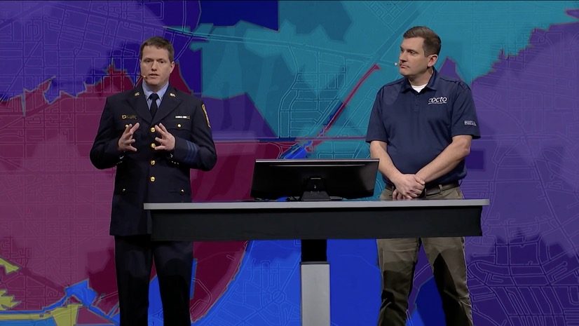
Dayton Fire's Unified Command Using ArcGIS Mission
Multiple Authors| March 11, 2025
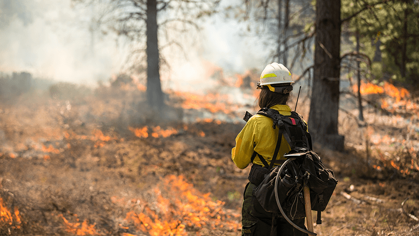
Powerful Team of Two: Revolutionizing Emergency Services with GIS
Multiple Authors| October 3, 2024
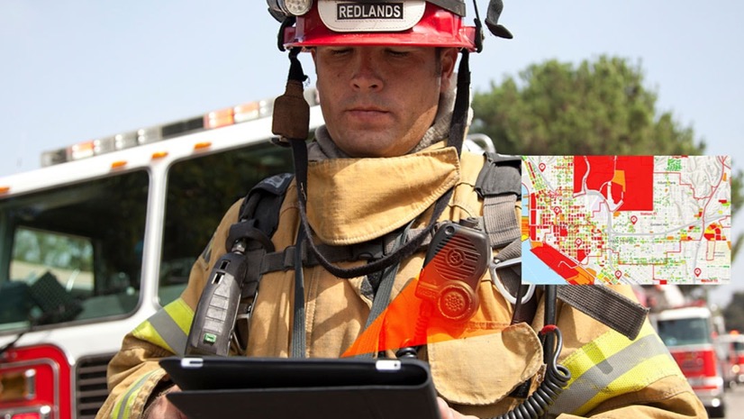
Lost and Found: How ArcGIS and GPS Change Location Sharing in the Wild
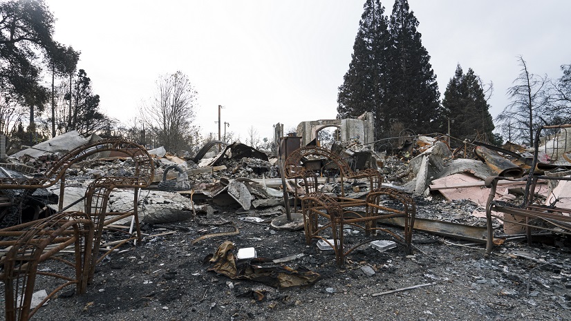
Preparing Your Fire Department for NERIS
Multiple Authors| May 22, 2024
An International Effort to Reduce the Impacts of Urban Conflagrations and Wildfires

IAFC Technology Summit International 2023 Focuses on Data Collection and Location Intelligence

Multiple Authors| October 26, 2023
Key Takeaways from the US Fire Administrator’s Summit 2023
Multiple Authors| September 2, 2023
IAFC FRI 2023 Embraces Technology for Fire and EMS Services