Most recent
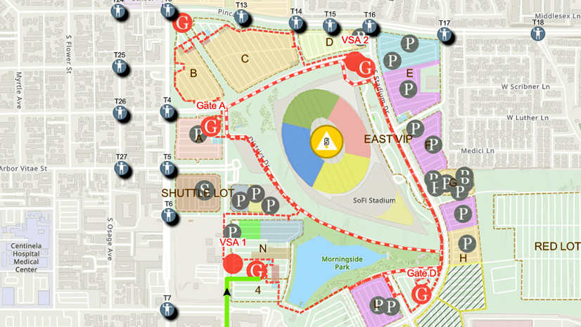
One City, One Common Operating Picture: How Inglewood Used ArcGIS to Support World Cup Operations
As FIFA World Cup 2026 hit North America, Inglewood, CA had its own high-stakes story: how technology helped the city keep pace.
Multiple Authors|
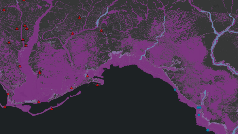
South Carolina National Guard Leverages ArcGIS for Hurricane Recovery Efforts

Mapping the Future: How GIS Accelerates the Critical Minerals Mission

The Essential Role of Regional Economic Development in Building Resilient and Thriving Communities
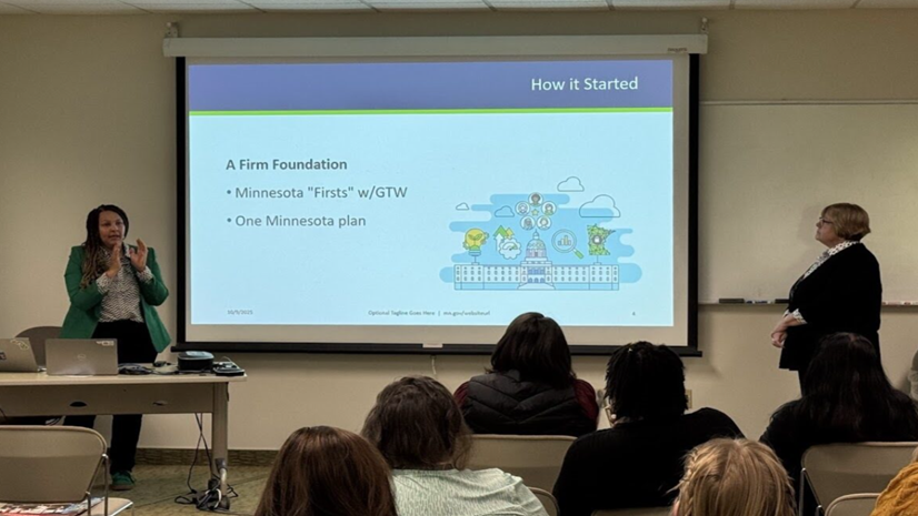
What We Learned in Minneapolis: Five Takeaways from Esri's Equity Seminar
Esri Water|
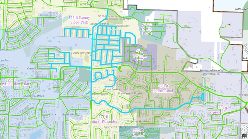
Tualatin Valley Water District Applies Utility Network Tracing to Drive Smarter Capital Planning

Smarter Land Planning with GIS at TNB: The GeoLVI Story
Esri Water|
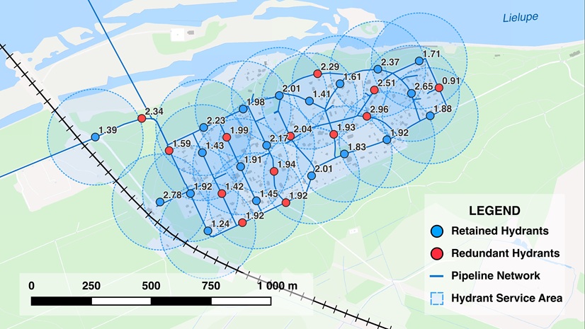
The Path to Geoenabled Asset Management: A Case Study of Jūrmala’s Hydrants

Esri Water|
Integrating BIM and ArcGIS for a Holistic View of Water Infrastructure
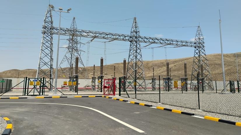
Empowering OETC with Self-Service GIS Solutions

How to Craft a Standout Abstract for the Esri User Conference
Esri Water|
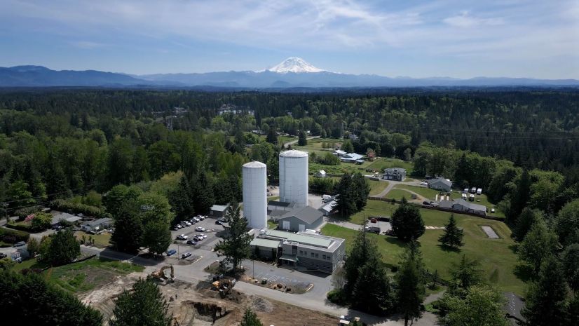
Covington Water District Manages Vast Water Assets with GIS at the Center