
Most recent
One Company, Two Utilities: Utility Network Assessment
TXNM combined PNM and TNMP GIS's using the ArcGIS Utility Network.
Esri Water|
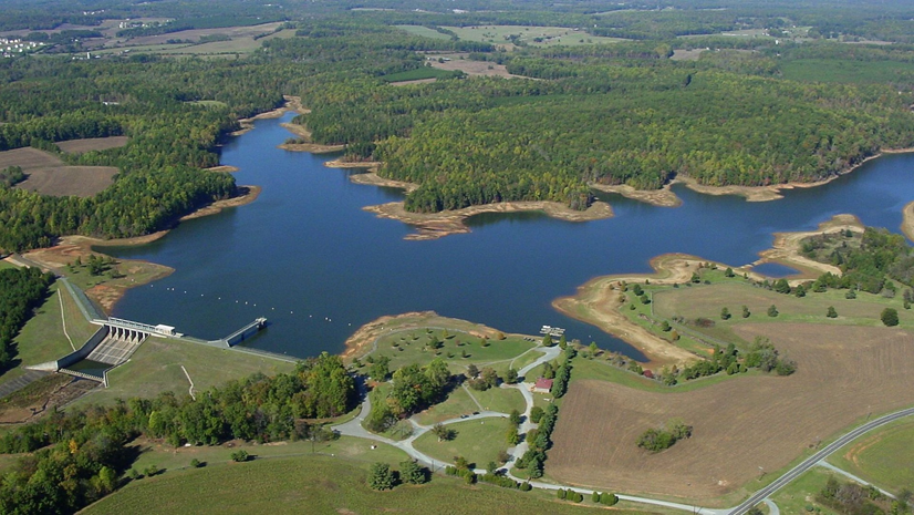
Insights from OWASA’s Utility Network Implementation
Esri Water|
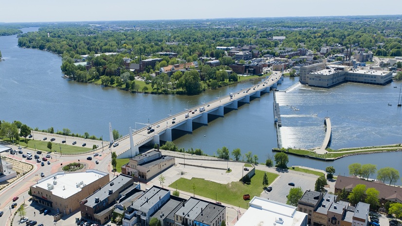
Mapping to Modeling: Modernizing De Pere’s Wet Utilities GIS

Esri at the 2026 National Recreation and Park Association (NRPA) Conference
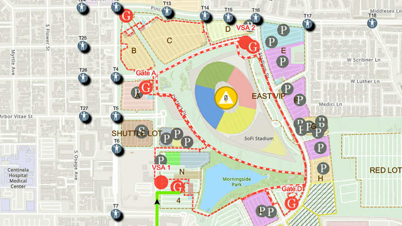
One City, One Common Operating Picture: How Inglewood Used ArcGIS to Support World Cup Operations
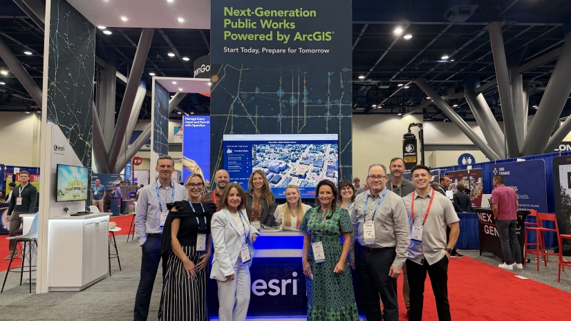
2026 APWA PWX Esri Recap

From Claims to Reclamation: How GIS Workflows in Land Management Are Reshaping Modern Mining

CGS Energy’s ArcGIS Utility Network Sets a Clear Path Forward

Mapping with Greater Precision Where It Matters Most

Esri Water|
Future-Proofing Integration at Middlesex Water Company
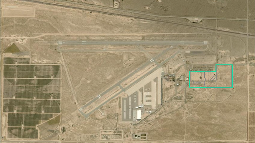
GIS Turns Airport Land into a Managed Construction Asset

See What Others Can’t - Making the Airport Experience Accessible with GIS

Esri AEC|