
Most recent
One Company, Two Utilities: Utility Network Assessment
TXNM combined PNM and TNMP GIS's using the ArcGIS Utility Network.
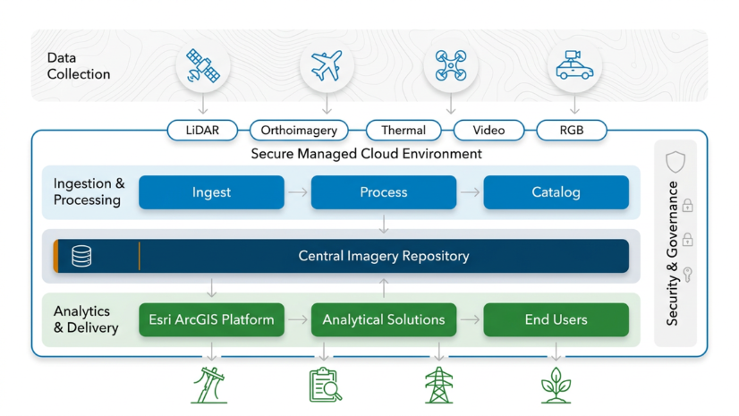
Creating a Business Case for an Imagery Management System at Dominion Energy

Esri at the 2026 APWA PWX Conference

Esri Water|
Gruppo Tea Modernizes Water Operations with ArcGIS Utility Network

Miranda McBride|
City of Pomona Modernizes NPDES Reporting Compliance with GIS

Multiple Authors|
Come Curious, Leave Connected: The Value of GIS Meetups for Nonprofits

Multiple Authors|
Supporting the 2026 Special Olympics with ArcGIS for Safer, Smarter Operations
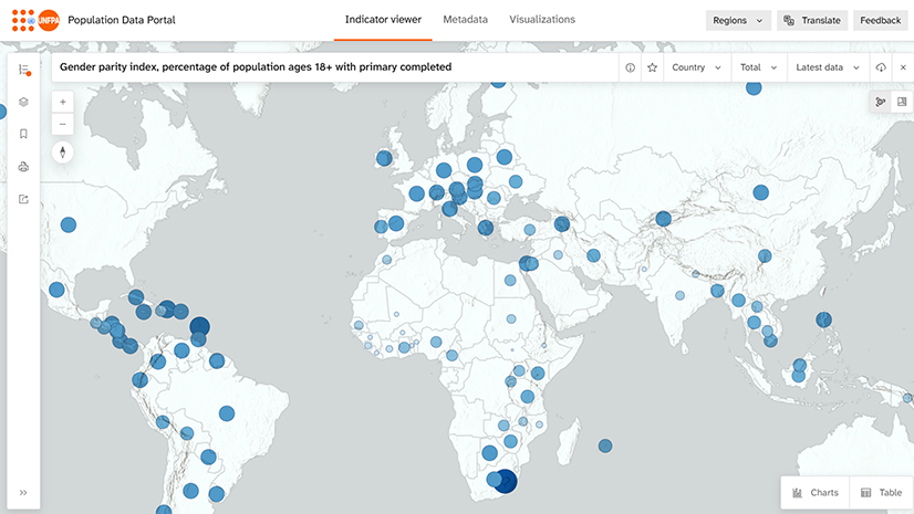
Closing the Distance Between Population Data and Decisions
Miranda McBride|
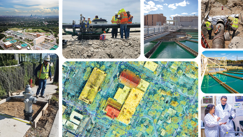
Using Lidar to Improve Fire Hydrant Accuracy and Strengthen Asset Management at Austin Water

Turning Passion into a Profession: Mapping Bird Migration with 3D GIS

From Paper to Real-Time Ramp Awareness
Esri Water|
From Paper Cards to Smart Maps: Pueblo Water’s Valve Management Transformation
Esri Water|