
Most recent
One Company, Two Utilities: Utility Network Assessment
TXNM combined PNM and TNMP GIS's using the ArcGIS Utility Network.
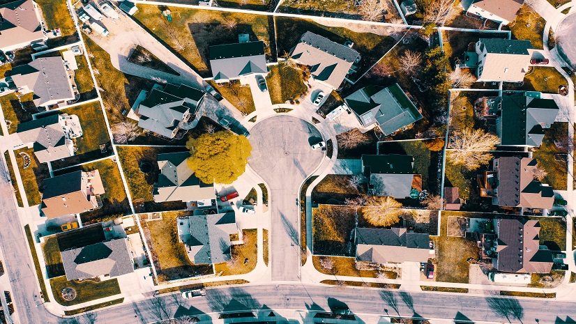
New State Legislation Reshapes Housing and Community Development

The Agriculture SIG at the Esri 2025 User Conference

Wired for Success: TREDAŞ Transforms Field Operations with ArcGIS
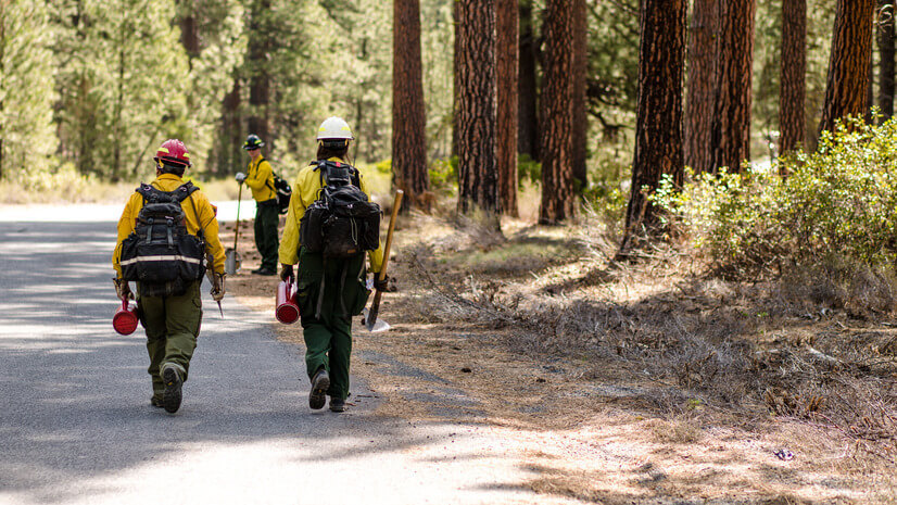
Unlocking NIFC's ArcGIS Online Organization: Data and Tools for Every Wildland Firefighter
Esri Water|
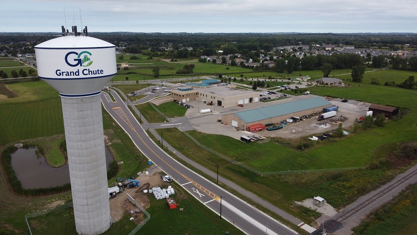
Town of Grand Chute Utilizes ArcGIS to Digitally Transform and Improve Transparency Across Departments
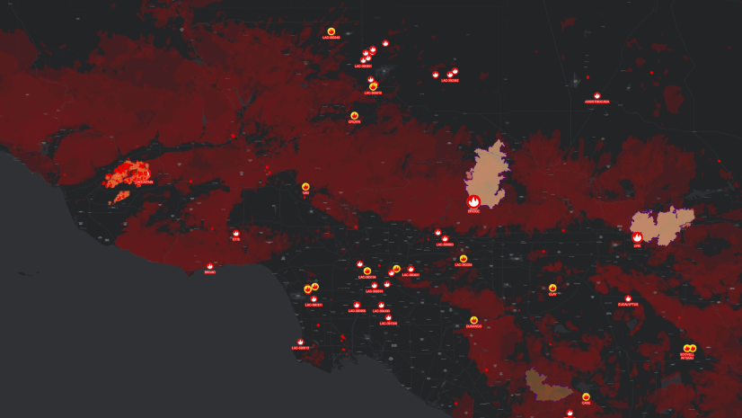
The Backbone of Wildfire Intelligence: Foundational Layers for Analysis and Action
Multiple Authors|
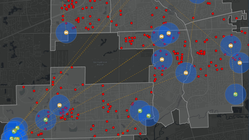
Using Link Analysis and Buffers to Support Criminal Investigations

Five Datasets Telecoms Can’t Live Without and Why They Belong in GIS
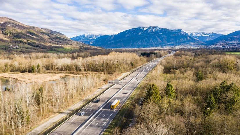
ATMB Optimizes Fiber Network Management with 1Telecomms GIS
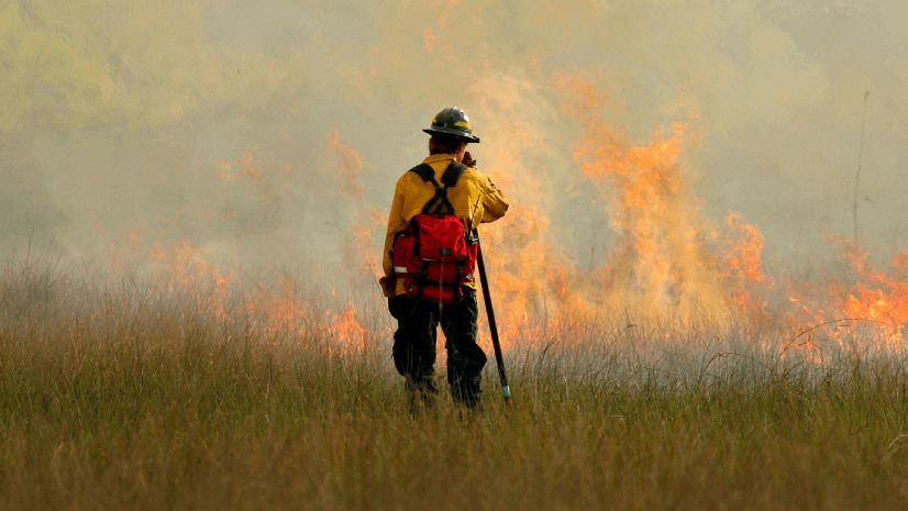
Turning Recommendations into Action: Why the Alliance for Wildfire Resilience’s Legislation Tracker Matters

Esri Water|
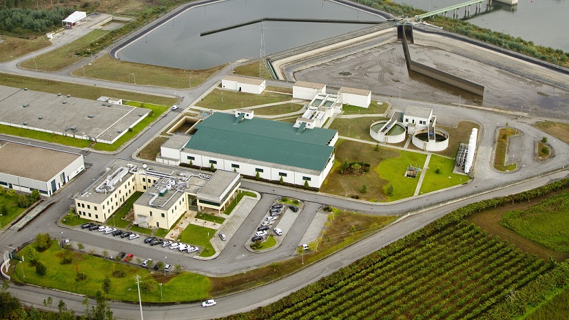
Urban Public Utility Gains Efficiencies with Digitized Permitting and Asset Management
Esri Water|