Letter from the Editor
Pervasive GIS Is What’s Next
Making location intelligence more universally available—a promise made just six short years ago at the Esri User Conference—is being realized through the widespread adoption of Web GIS. The Web GIS pattern leverages web services that make exponentially growing data streams readily accessible for visualization and analysis.
By empowering non-GIS staff, Web GIS enables both GIS professionals and non-GIS knowledge workers in organizations to get more meaningful work done. It relieves GIS professionals from previous roles as data gatekeepers and on-call mapmakers so they can engage in analytical activities that provide greater value to their organizations.
The power of data integration and computational geography can be available to every-one in the organization. Through converting massive amounts of data into actionable information, web maps are becoming a kind of language that supports problem solving.
Using apps, this work can be shared and taken everywhere: referenced and updated in the field, presented in the boardroom, and disseminated on the web. The Web GIS pattern brings together web maps, web apps, hubs, location analytics, and other technologies that improve understanding, collaboration, and communication.
Since their introduction six years ago, Esri Story Maps apps have become a communication medium that is used to tell the stories of individuals, organizations, communities, events, and processes. The more than 600,000 story maps that have been published have been viewed millions of times.
The Special Section in this issue highlights how story maps are used to promote the unique characteristics of communities, present city council agenda items in context, and share the significance and beauty of collections maintained by the Library of Congress.
With Web GIS, location intelligence is easier to apply and more accessible so society can truly benefit from The Science of Where.

Monica Pratt
Editor
The Brazilian government uses GIS to help incorporate the fire-management knowledge of Indigenous people in the region into its practices.
Links to all the articles in the Winter 2024 issue of ArcUser

Meeting Climate Change Challenges with GIS
GIS helps mitigate, respond, and recover from the increased threat of wildfires and other adversities exacerbated by climate change.
Enhanced Interoperability: ArcGIS Pro Supports 3D Tiles
Organizations can use GIS to implement a multidimensional system of record that combines imagery, real-time data, and realistic 3D environments.

Cities Save Lives by Mapping Communities Most at Risk from Extreme Heat
Deaths from extreme summer heat are preventable so public health teams use online maps that show neighborhoods likely to experience extreme heat.
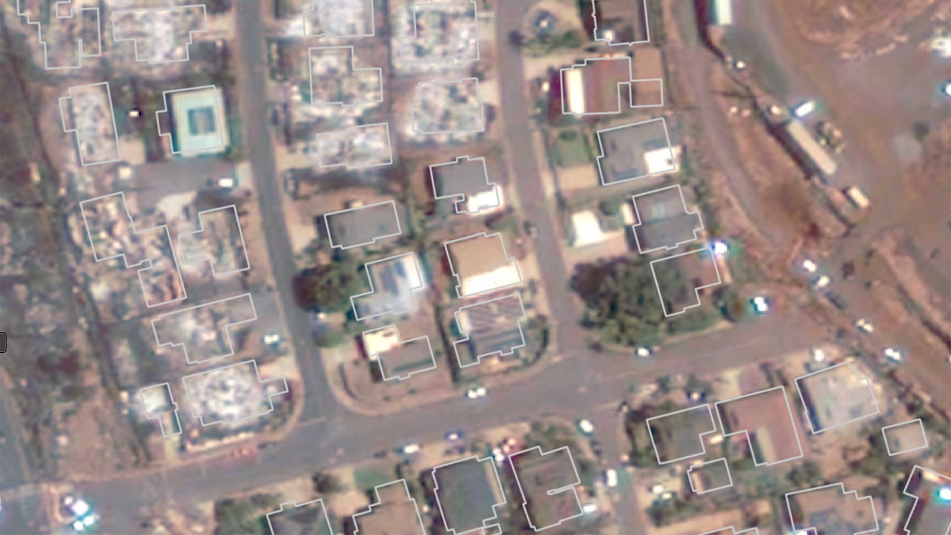
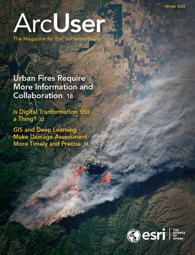
GIS and Deep Learning Make Damage Assessments More Timely and Precise
Deep learning models and GIS help accomplish wildfire damage assessments more quickly and more accurately.

Urban Fires Require More Information and Collaboration
Firefighting and fire mitigation are both guided by GIS.

Using GIS to Bridge Asset Management and Customer Care
Water and Sewer Company of Thessaloniki S.A. (EYATH) integrated infrastructure and customer aspects of the business using GIS.
Is Digital Transformation Still a Thing?
Yes, digital transformation is still a thing. It always will be.

Designing a Fiscally Resilient City with ArcGIS Urban
Texas city uses ArcGIS Urban to intelligently guide its development.

A Better Way to Build and Maintain Feature Layers
This workflow describes how to use layer views to make updates quickly and easily, and efficiently manage important feature layers.

Five Tips for Easier Editing in Map Viewer
Learn these five tips that will be editing not only easier but faster in ArcGIS Online.
New ArcGIS Platform Places Service Brings Places Data into Your Apps
Places data can be a valuable source of location-based context for users in applications that support mapping, analysis, and decision-making.

Unlock the Power of Spatial Data with ArcGIS Platform’s Data Hosting Service
The ArcGIS Platform Data Hosting service can scale with the growth of developers' applications and don’t have hidden costs.

Make Geospatial Content More Usable with the Atlas Instant Apps Template
Atlas allows GIS analysts to create a digital atlas that is easy to explore and presents layers of context.

Configure Multifactor Authentication for ArcGIS Logins
Multifactor authentication (MFA) is a security measure that is highly recommended to protect your ArcGIS accounts and sensitive information.
Sustaining Public Lands with Location Data
Doug Browning is Esri Community MVP, who has contributed thousands of posts and hundreds of solutions.

K–12 Program Receives Alex Trebek Medal for Geographic Literacy
Members of the Esri Canada K–12 team received the Alex Trebek Medal for Geographic Literacy.
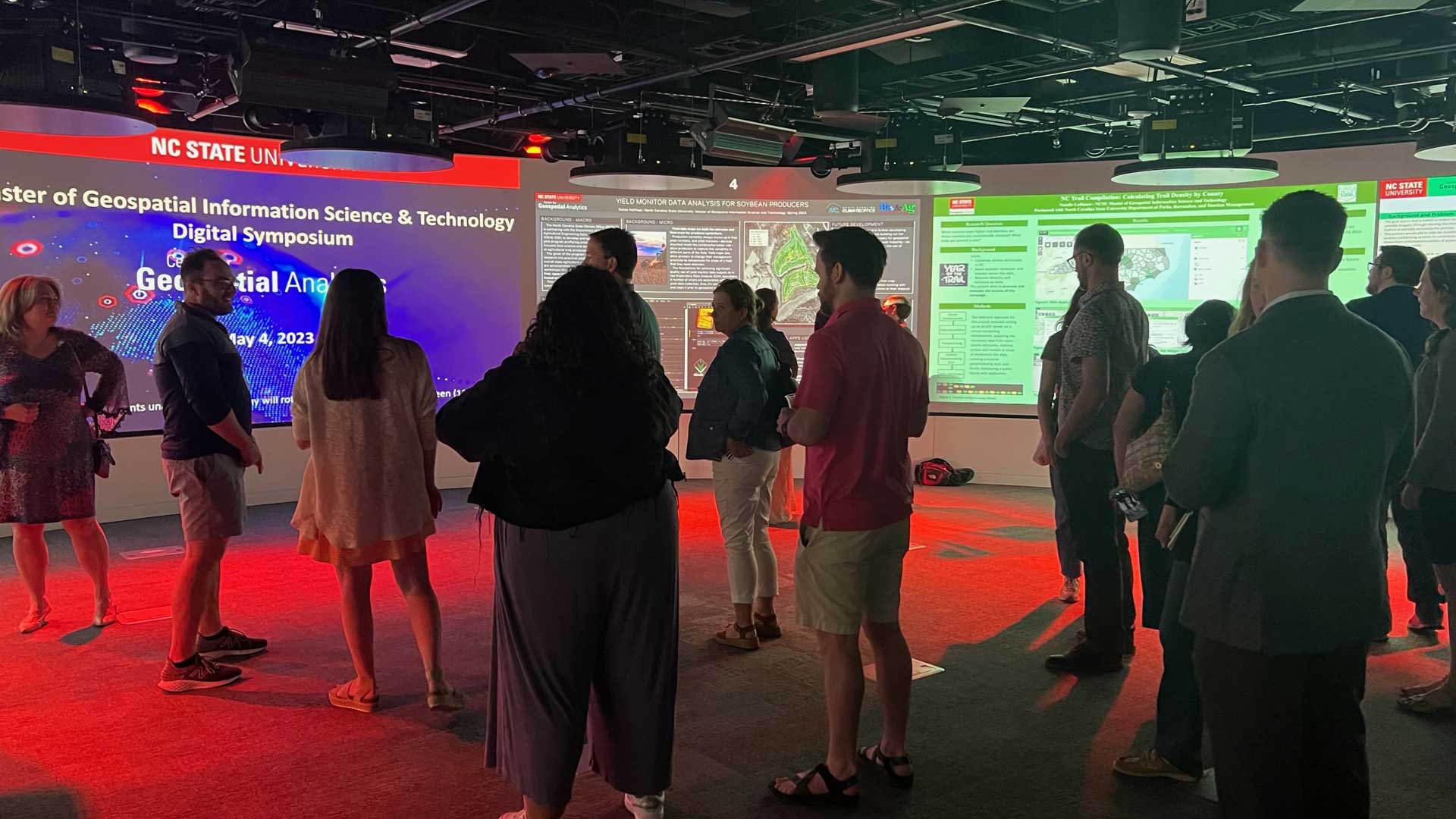
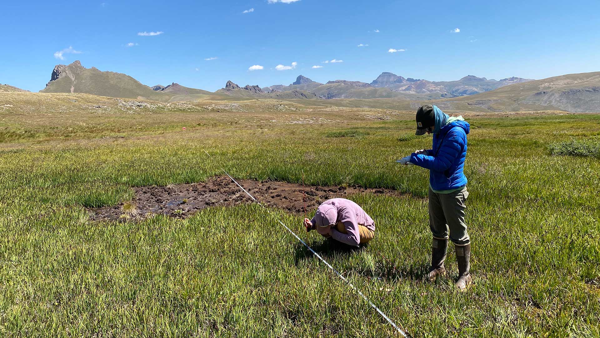
Program Combines Theory and Hands-On Learning
North Carolina State University’s (NCSU) Center for Geospatial Analytics program for graduate students incorporates hands-on application.

Bookshelf
Esri Press books on human geography and earth science

Briefly Noted
Microsoft Fabric included ArcGIS; Autodesk adds ArcGIS basemaps; National Geographic MapMaker re-released.
Share this page