Table of Contents
Focus
Matching COVID-19 Cases to Facilities: Lessons Learned
Harnessing Geospatial Data for Informed Health-Care Planning
Revealing Opioid Diversion with ArcGIS AllSource
Interactive Maps Tell the Story of Modern Risk Mitigation in Florida
App Saves Time and Adds Flexibility and Transparency to Capital Funds Spending
Decades of Innovation by Orange County
Special Section
Taking Responsibility for Our Future
The New Blue Economy & Predictability
Using GIS to Create the World We Want to See
End Notes
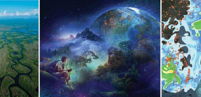
Using GIS to Control a Big Snake Problem in the Everglades
Letter from the Editor
Technology and Commitment for the World We Want
Departments
Software and Data
Manager’s Corner
How GIS Mitigates the Impact of Vacant Office Space
How to Communicate the Business Value of Your Tech Innovation
Developer’s Section
Accessibility and Arcade: Working in Color
Hands On
How to Start an ArcGIS Pro Project
Using Alternative Test for Equitable Storytelling
Manage Layers More Efficiently in ArcGIS Pro with Catalog Layers
Bookshelf
Spatial Statistics Illustrated
Geospatial Data, Information, and Intelligence
Faces of GIS
My Career Asking Questions with a Geographic Approach
Esri Young Professionals Network Is for Everyone
Education
Helping Students Get Ahead by Meeting Workforce Needs