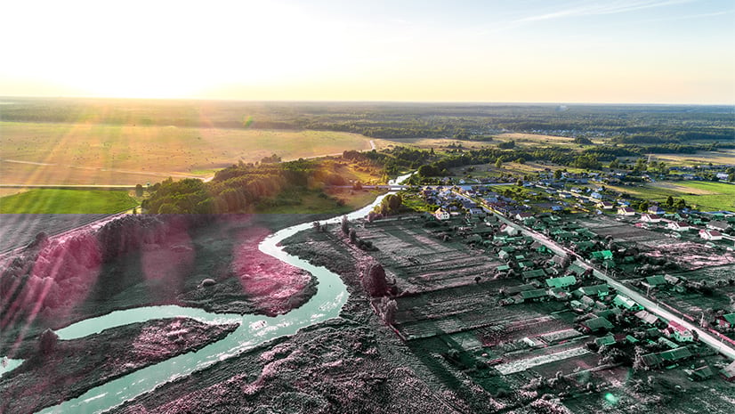
Interface with Nature
Each year Climate Week presents a reminder that virtually every organization depends on and impacts the natural environment in some way. This year, the release of new recommendations from Taskforce on Nature-related Financial Disclosures (TNFD) brings greater focus to understanding and addressing this relationship with Nature. While sustainability professionals in many organizations currently seek to minimize their negative effects on Nature, leaders in sustainability increasingly aim to make a net positive impact on Nature and build a healthy and prosperous society. Smart sustainability leaders are now using GIS to systematically assess and manage organizational risks and opportunities in Nature.
Biodiversity Affects the Economy
An organization’s relationship with Nature can be difficult to disentangle. However, dependencies and impacts offer a useful lens to look at these relationships through. To understand risks and opportunities linked to this relationship, an organization can assess how their environmental impacts might ultimately diminish the resources they’re dependent on. Consider for example how some of the following organizations might impact or depend on Nature:
Food and Beverage:
A business growing fruit trees for producing juice drinks is dependent on land with stable soil for orchards, pollinators for productive yields, a reliable water supply for irrigation, and fibers for paper-based marketing and packaging materials. It may also impact Nature through the conversion of a more diverse landscape into a monocrop, soil contamination from industrial pesticides, removal of ground or surface water from its source for irrigation and production processes, and degradation of those water sources from industrial fertilizers.
Construction:
An organization in the construction industry may depend on supplies of timber, sand, & gravel as raw materials, water supply for construction processes, energy supply (from renewables or fossil fuels), soil stability for structure integrity, and pollinator services for landscaping. Likewise, impacts may be related to air pollution from emissions, water pollution from chemicals and urban runoff, land use change (e.g., deforestation), resource consumption (timber, water, concrete, steel), and decreased water infiltration on non-porous surfaces.
Retail:
Retailers can be dependent on the surrounding vegetation for providing flood mitigation and erosion control, intact and biodiverse landscapes for attracting tourism, climate regulation services to keep heating and cooling costs down, and forests or rangelands managed to minimize wildfire risk. Meanwhile, the same store might have impacts on Nature including land use change (habitat loss, heat islands), emissions from lighting, heating, & cooling, waste generation from unsold/expired products or packaging materials, and impacts across supply chains such as transportation emissions, resource extraction, and various impacts from industrial agriculture.

These are just a few examples illustrating the importance of an organization’s relationship with Nature, but you might notice that the socio-economic benefits of Nature, or ecosystem services, are frequently driven by measures of biodiversity. Biodiversity is key to successful local, regional, and global economies. Consider the following ways biodiversity adds value to society and the economy:
More products in the global marketplace:
Increased availability of many different types of foods, fibers, and materials results in more products, wider customer bases, and more diverse investment opportunities.
Increased resistance to pests and diseases:
The infamous potato famine of the 1800s occurred in part because blight disease could easily propagate through the widespread monoculture of potatoes. Such events are less likely when a diversity of species is present.
Unique environmental characteristics:
Environmental ‘uniqueness’ attracts visitation from tourists, nature enthusiasts, and others, who buy food, tours, equipment, and other goods and services in the communities they visit.
Genetic diversity:
Without diverse gene pools, species are more at risk for inbreeding, extinction, and are less able to adapt to environmental changes. Restaurants, distributors, and commercial fishers have a vested interest in maintaining the health and survivability of tuna species, for example.
Lower health care costs & discovery and research of novel treatments and medicines:
Controlling disease transmission by preserving biodiverse ecosystems can reduce the risk of disease spillover into human populations (e.g., COVID-19). People experience better mental health when surrounded by a diverse natural environment, and many pharmacological discoveries and innovations are made possible by a range of plants, animals, and microorganisms.
Job creation:
Ecotourism, sustainable agriculture & fisheries, habitat restoration, research and monitoring, governance & regulation, planning & geodesign, film and art, education, and health care services are just a few examples of job markets with growing demand for the next generation of skilled professionals. Fewer of these jobs will exist in a less biodiverse world.

A Movement Toward Nature-related Risk and Opportunity Assessments
Organizations around the world increasingly recognize the intrinsic value of Nature in sustaining both a healthy business and a prosperous planet. Recent reports from PwC and the World Economic Forum have estimated that half or more of the world’s economy is moderately or highly dependent on Nature. These findings emphasize the critical importance of preserving biodiversity and ecosystem services for maintaining global financial stability. To help formally guide organizations in consideration and accounting of Nature-based risks and opportunities, several frameworks have recently been released.
One example, resulting from the December 2022 COP15 Summit (the United Nations Biodiversity Conference), is the Global Biodiversity Framework (GBF). Another framework, released this month, is the Nature-Related Risk & Opportunity Management and Disclosure Framework set forth by TNFD. Largely inspired by the Taskforce for Climate-related Financial Disclosures (TCFD), the TNFD framework lays out a four-phase process by which businesses can understand, address, and disclose their Nature-based impacts and dependencies and the associated risks and opportunities.
The GBF, TCFD, and TNFD initiatives are only a few frameworks recently established to offer guidance towards desirable Environmental, Social, and Governance (ESG) ratings and disclosure of environmental impacts. While TNFD has recently released their finalized framework and LEAP approach (Locate, Evaluate, Assess, Prepare), readers should note that geospatial tools and analyses can be applied to geo-enable the steps of most disclosure processes, but where to begin?
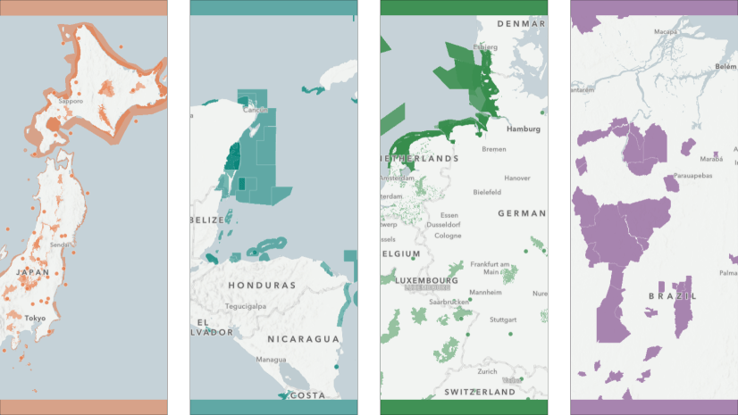
The GIS Playbook
Here we’ll use the TNFD LEAP framework as an illustrative example of how an organization can use geographic information systems (GIS) to assess and disclose their Nature-based impacts and dependencies to mitigate risks and realize opportunities to build more resilient global systems.
Locate
The first phase of the LEAP approach is all about understanding and mapping your business footprint and interface with Nature, identifying ecosystems of particular importance or high stress, and organizing results by sector, value chain, or other relevant categories. For this phase, organizations can leverage ArcGIS tools like Field Maps and Pro for data collection and spatial analyses, Dashboards for categorizing information, and Hub to engage stakeholders and further enrich spatial data.

Evaluate
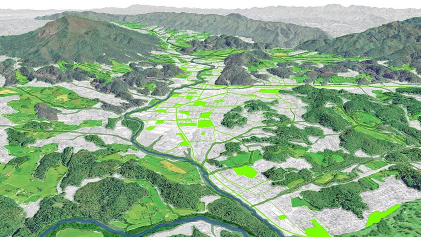
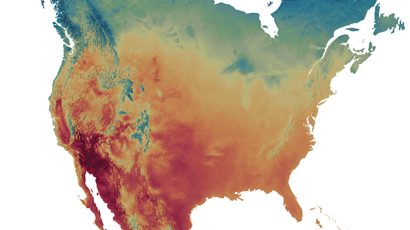
The second phase of LEAP applies results from the Locate phase to evaluate business operations for impacts and dependencies on Nature and determine the size and scale of those impacts and dependencies. An abundance of environmental data an organization might use here is available on the ArcGIS Living Atlas, selections, refinement, and analysis can be performed with Pro, ArcGIS Velocity can facilitate ingestion of big data, and a diversity of imagery can be exploited for additional context and insight using ArcGIS Image. Many of the workflows above can also be automated with Workflow Manager for increased efficiency and accuracy.

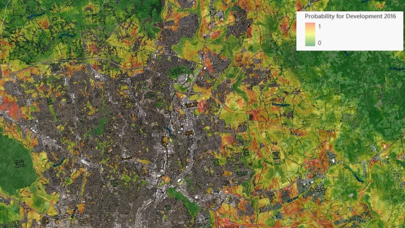
Assess
In the Assess phase, Nature-based risks and opportunities are identified and the organization’s current risk management strategies are reviewed. Risk managers then assess for additional risk management opportunities, including connections between risks. Finally, a materiality assessment produces summary metrics (e.g., percent share of revenue exposed to risk) for disclosure in the final phase. Many of the same tools above (ArcGIS Pro, Dashboards) can be applied in the Assess phase. Organizations might also consider scenario planning with ArcGIS GeoPlanner.

Prepare
The last phase of the LEAP approach focuses on allocation of resources and strategies based on the information gleaned from the previous phases, target setting and performance management to define and measure progress, reporting, and presentation. ArcGIS products like StoryMaps, Dashboards, Hub, Experience Builder, and tailored ArcGIS Solutions can facilitate community engagement, add value to business workflows, and could enable organizations completing TNFD or other frameworks to provide more visibility and inclusion into their decision making and subsequent disclosures. StoryMaps are also a powerful way for organizational leadership to present the results of their LEAP analysis geographically and visually.

Small Changes with Big Impacts
A key takeaway from frameworks like TNFD and others is to recognize that what’s good for Nature is good for business. By prioritizing and addressing assets most at risk, targeted investments in a few locations could result in effective savings across an entire portfolio. Such savings could be substantially greater than the revenue generated by practices that don’t holistically account for the risks related to the organization’s dependencies and impacts on Nature.
Here’s a simple example: preventing deforestation helps to reduce erosion, thus increasing an ecosystem’s biodiversity, resilience, and capacity for performing vital ecosystem services. This puts business assets at less risk from extreme weather, flooding, and other hazards, while improving the health and survivability of plants, animals, and humans who inhabit the landscape.
Simply put, proactive investments in more sustainable operations now will help to reduce losses and reactive spending at a much larger scale in the future.


Article Discussion: