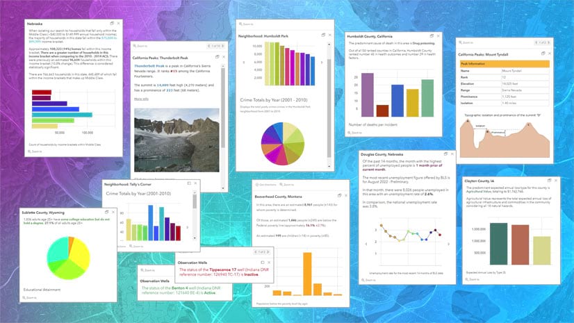
July 31, 2025 | Multiple Authors | Retail Unraveling segmentation history: how ArcGIS Tapestry stands out
July 23, 2025 | Bern Szukalski | Mapping Map in a minute: Map weather using ArcGIS Online and ArcGIS Living Atlas
July 21, 2025 | Durga Naithani | Imagery & Remote Sensing What’s New in ArcGIS Image Dedicated? (June 2025)
July 20, 2025 | Bern Szukalski | Mapping Map in a minute: Map an earthquake using ArcGIS Online and ArcGIS Living Atlas
July 13, 2025 | Multiple Authors | Imagery & Remote Sensing Mapping Intra-Urban Surface Heat Islands – Part 1: On-Demand Heat Map from Landsat
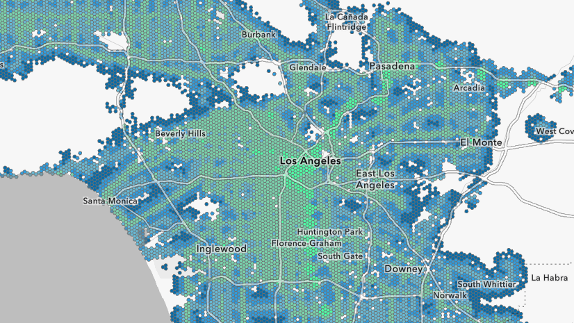
July 11, 2025 | Multiple Authors | Analytics Mapping walkability to LA28 Olympic venues: A transit accessibility analysis using ArcGIS Pro
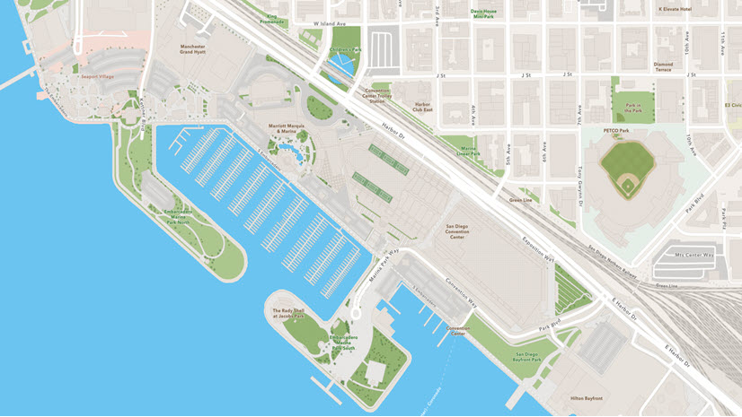
July 8, 2025 | Shane Matthews | Mapping Second Quarter 2025 Basemap Release Includes Over 185 New and Updated Communities
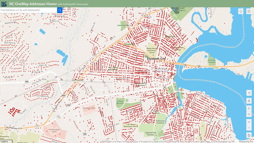
July 8, 2025 | Shane Matthews | Mapping Enhancing Location Intelligence: North Carolina’s AddressNC Partnership with Esri
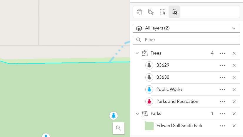
July 3, 2025 | Stella(Xintian) Li | 3D Visualization & Analytics Publish a Space-Time Cube Layer to a Web Scene
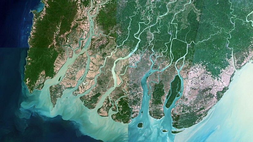
June 27, 2025 | Multiple Authors | Imagery & Remote Sensing Mapping mangrove dynamics with raster functions in Map Viewer