
Most recent
One Company, Two Utilities: Utility Network Assessment
TXNM combined PNM and TNMP GIS's using the ArcGIS Utility Network.
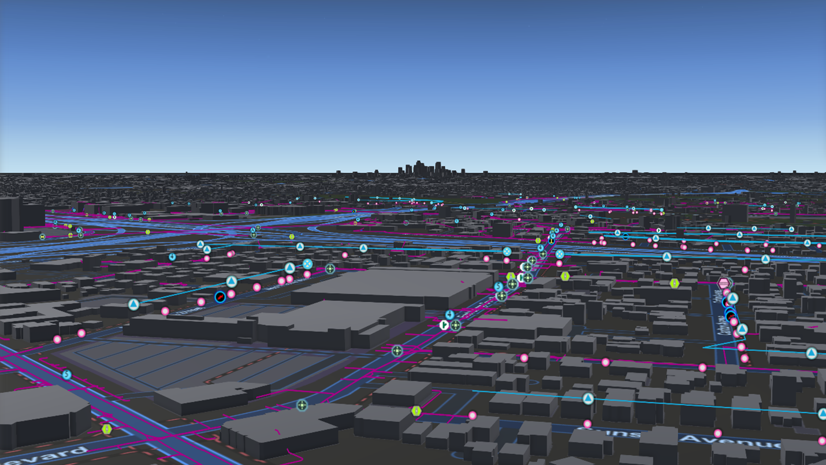
GIS Vision: Comprehensive GIS Solutions for Pasadena Power
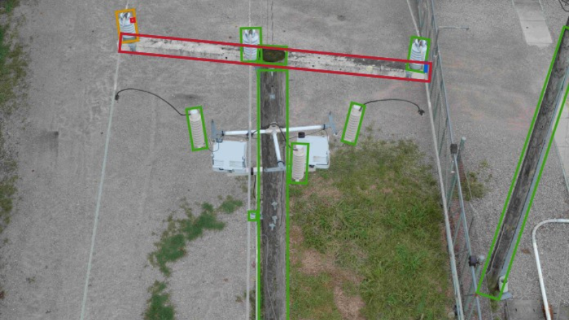
Dominion Energy Distribution Team Improves Reliability with Drones, Imagery Management, GIS, and visual Intelligence
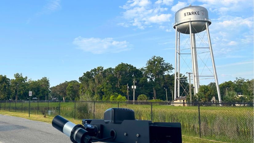
City of Skarke, Florida, Achieves Big Impact with Imagery, AI, and GIS
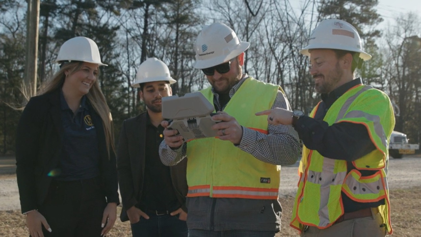
Dominion Energy Transmission Improves Asset Management with Visual AI

Esri AEC|
How Stantec and Denver Used GIS to Transform Community Engagement
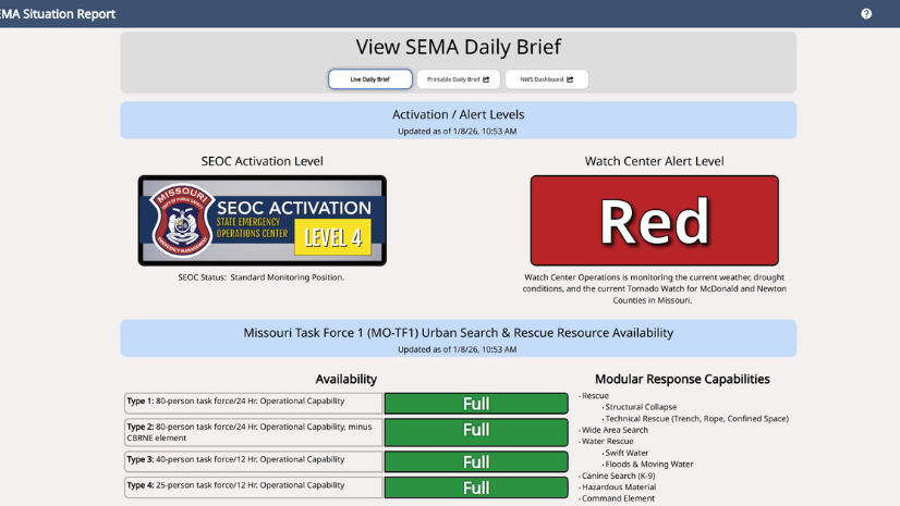
From Firehose to Focus: How Missouri SEMA Modernized Situational Awareness with GIS

Multiple Authors|
Jamaica’s Preparedness and GIS Readiness Drove a Successful Hurricane Melissa Response

From Top-Down Systems to a Local–National Mesh
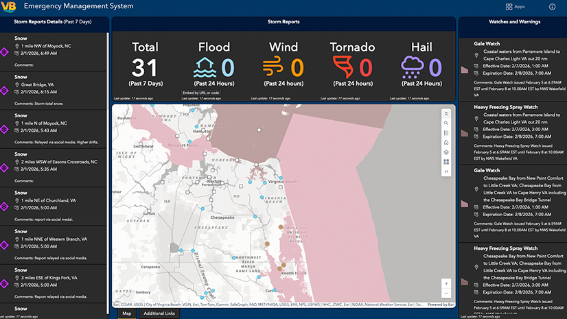
Expert Advice: Virginia Beach Emergency Management’s Top Tips for Transitioning Incident Management Systems
Esri Water|
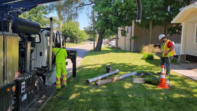
Potholing and GIS: Prioritization Planning for Lead Service Line Replacement
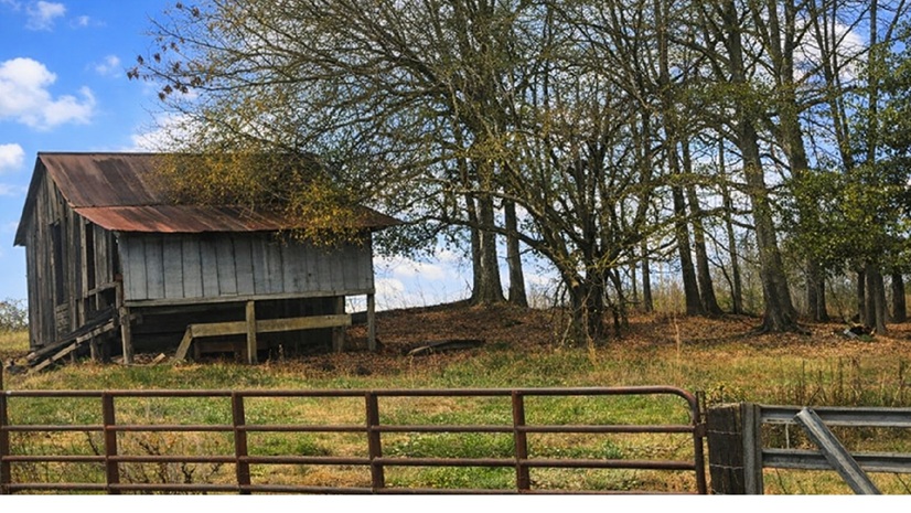
Agriculture Intelligence (AgI): Lessons from “Old School” Artificial Intelligence (AI)
Esri Water|