
Most recent
One Company, Two Utilities: Utility Network Assessment
TXNM combined PNM and TNMP GIS's using the ArcGIS Utility Network.
ArcGIS as a Planning System — Q1 Update
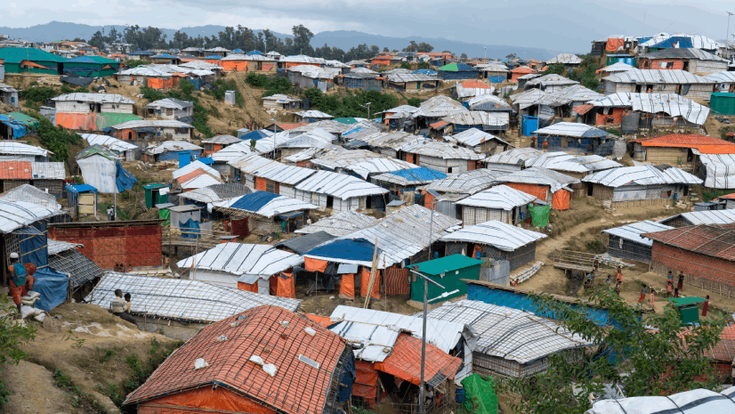
The Geographic Approach and the Power of Local
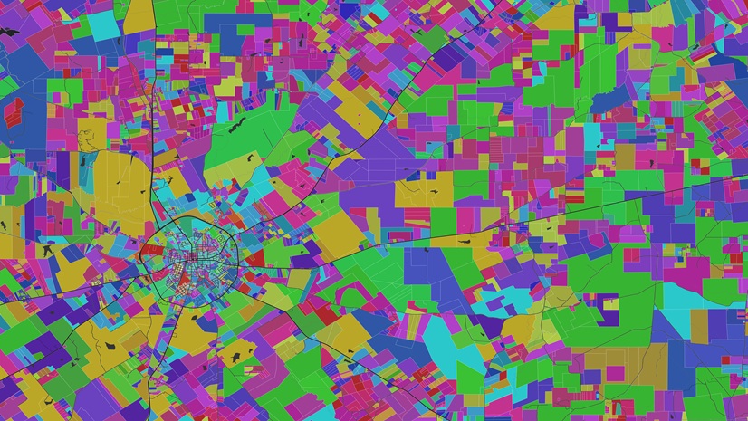
New Year, New Parcel Resolution: Migrate to ArcGIS Parcel Fabric

Multiple Authors|
Why Transit and Why Now?
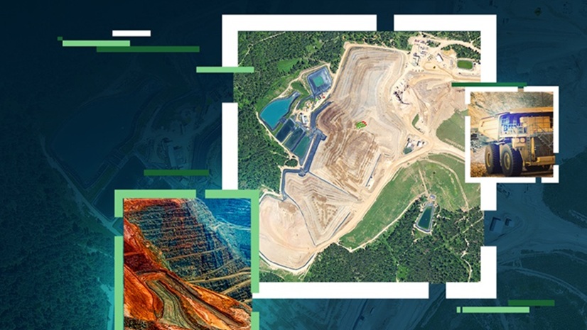
Ultimate GIS Guide for Mining Professionals: Build Business-Critical Skills in 2026

2026 GIS for Good Events: Where to connect, learn, and collaborate with Esri

Esri AEC|
Building a Smarter City: Altamonte Springs’ Digital Twin Transformation
Esri AEC|
Smarter Waste Management with ArcGIS Experience Builder

Washington City Power Modernizes with ArcGIS Utility Network
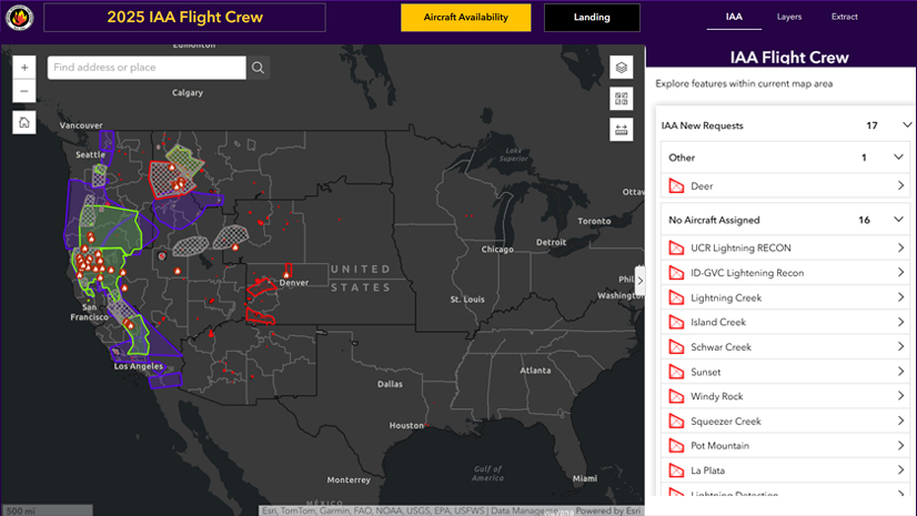
IAA: The Wildfire Intelligence Program You’ve Probably Never Heard of But Definitely Rely On

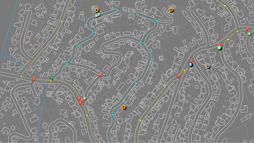
Real-Time GIS Dashboard Enhances Critical Outage Response
Esri Water|