Most recent
One Company, Two Utilities: Utility Network Assessment
TXNM combined PNM and TNMP GIS's using the ArcGIS Utility Network.

Esri Water|
Mapping Leaks, Saving Water: MAWC’s GIS-Powered Leak Detection Strategy
Esri Water|
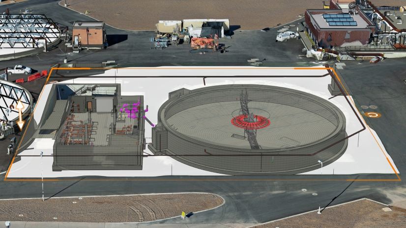
Clark County Water Reclamation District Transforms Wastewater Operations with ArcGIS Indoors and Digital Twin Technology
Esri Water|
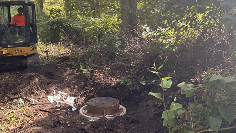
From Hard to Find to Hard to Miss: Mapping Manholes in Rural West Virginia

Announcing Our New Blog Series: Rethinking Humanitarian Action with a Geographic Approach
GIS Enables N1 to Outmaneuver Historic Storm Surge

More Money? No Problem: Using GIS to Show Transit’s ROI and Lobby Funding Support
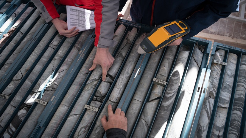
Top 10 GIS Mining Workflows In Exploration
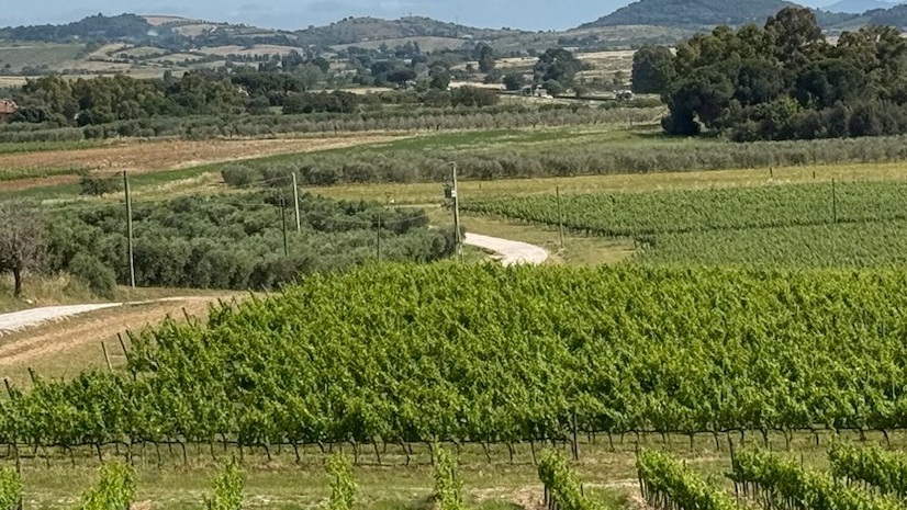
Trusted Applications of Geospatial AI for Agriculture

Esri Telecommunication Team|
ECC Technologies Builds a Single Source of Truth for Fiber Network Delivery with Esri
Esri Water|
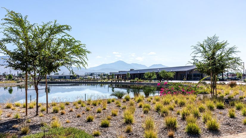
East Valley Implements ArcGIS Utility Network for Modern Data Management

Effective Humanitarian Response Requires Integrated Systems