
Most recent
Building Momentum for GIS + openBIM: What We Heard at the buildingSMART US Roads and Bridges Event
Recap from buildingSMART US Roads & Bridges: how GIS and openBIM together power connected digital delivery for transportation infrastructure.
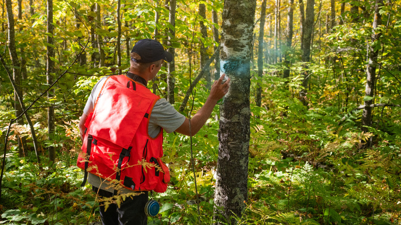
Mapping Stewardship: Tribal Pathways to Carbon & Co-Benefits
Esri Water|
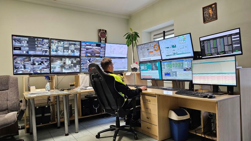
Revolutionizing Water Utility Dispatch: AI-Driven Automation and Spatial Intelligence at UAB Kretingos vandenys
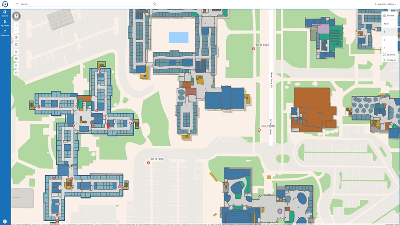
Indoor GIS and the Role It Plays in Operational Digital Twins
Esri Water|
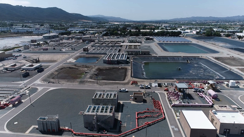
Mapping the Invisible: How EMWD Modernized Plant Management with GIS
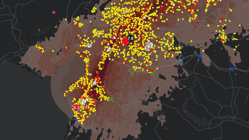
GIS, Risk, and the Triple Nexus
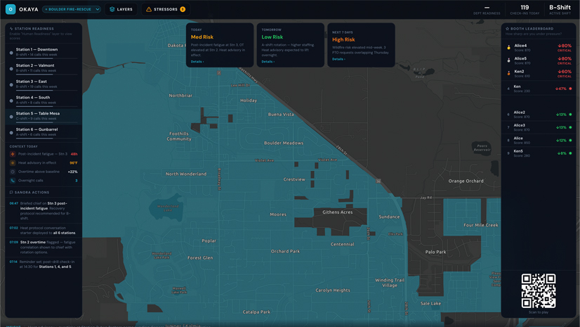
The Layer You’re Missing
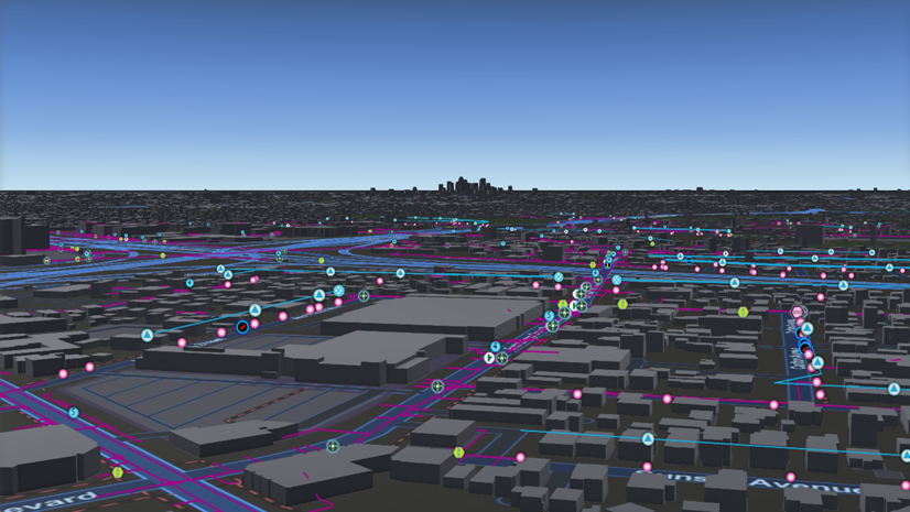
GIS Vision: Comprehensive GIS Solutions for Pasadena Power
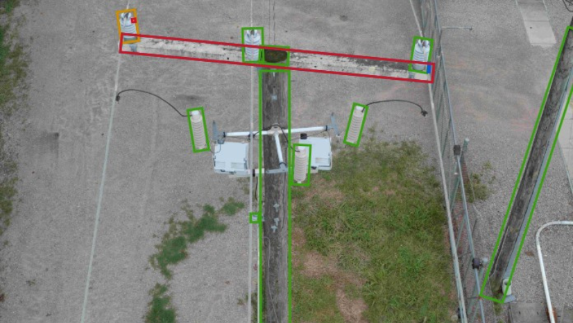
Dominion Energy Distribution Team Improves Reliability with Drones, Imagery Management, GIS, and visual Intelligence
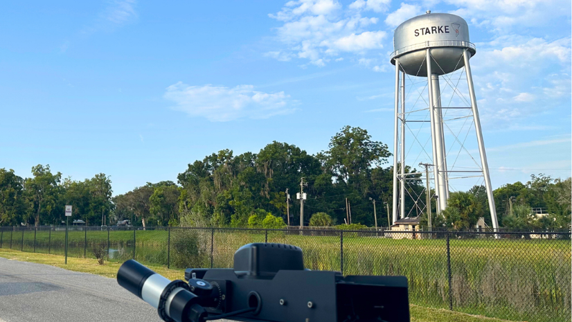
City of Starke, Florida, Achieves Big Impact with Imagery, AI, and GIS
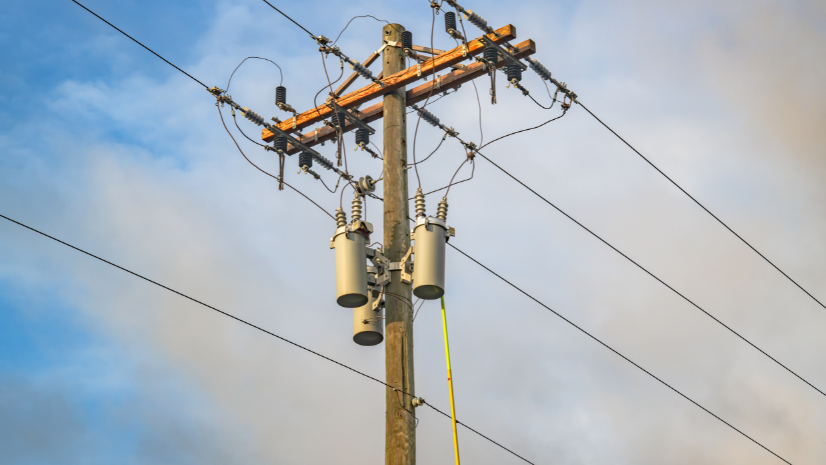
Turning Inspection Imagery into Enterprise Asset Intelligence at Sulphur Springs Valley Electric Cooperative
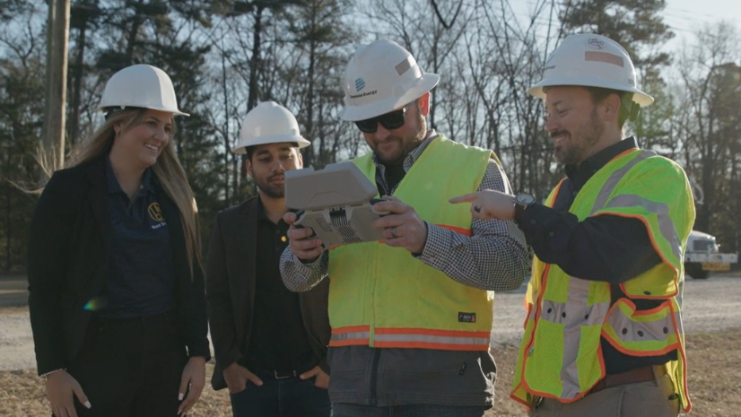
Dominion Energy Transmission Improves Asset Management with Visual AI

Esri AEC|