Most recent
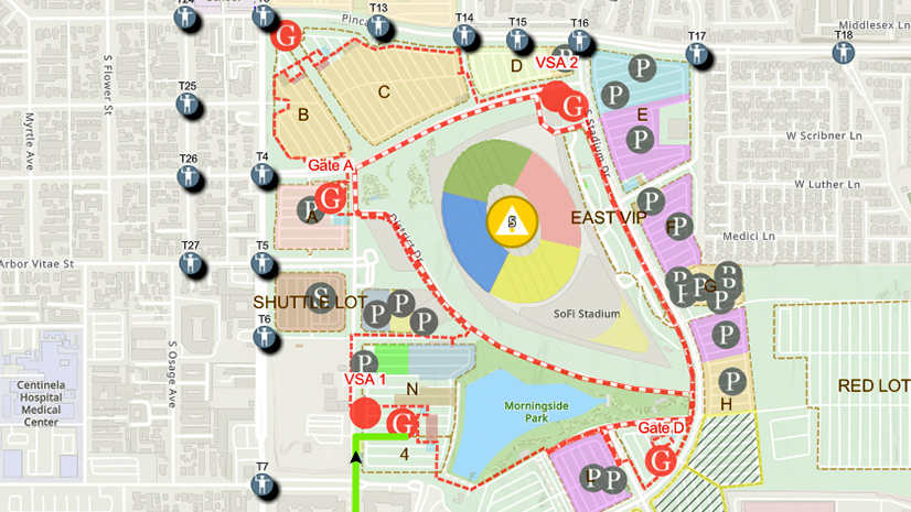
One City, One Common Operating Picture: How Inglewood Used ArcGIS to Support World Cup Operations
As FIFA World Cup 2026 hit North America, Inglewood, CA had its own high-stakes story: how technology helped the city keep pace.
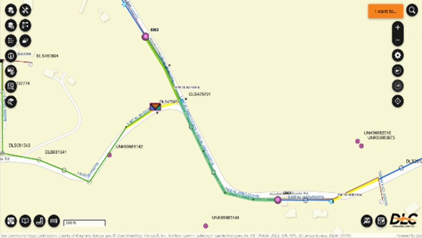
Pioneering Grid Modernization with ArcGIS Utility Network
Esri Telecommunication Team|
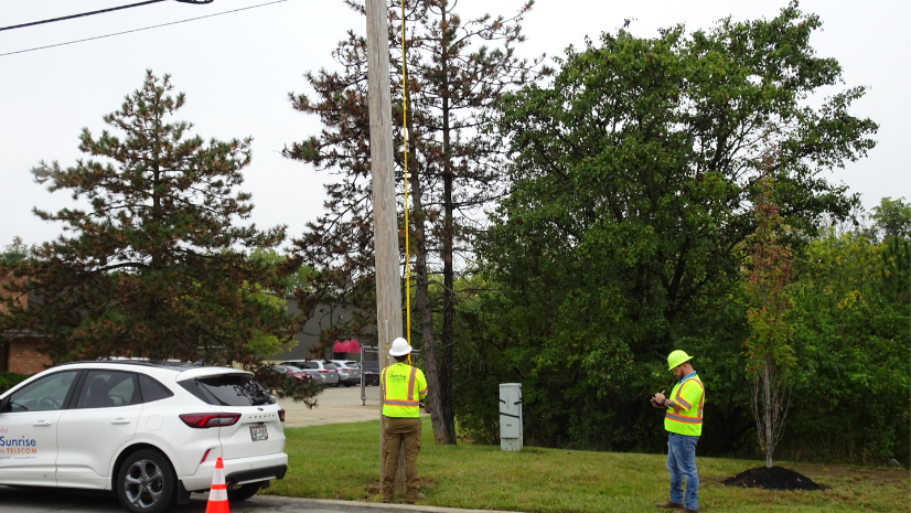
Sunrise Telecom Accelerates GIS Modernization to Meet Customer Demands and Strengthen Field Operations
Multiple Authors|
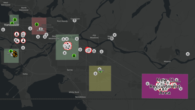
Investigative Analysis with ArcGIS Part 2: ArcGIS Knowledge

5 Planning Trends to Watch in 2026

Uniting the UK Water Sector Through Open Data

Transit, Powered by GIS
![Hello [Transit] World!](https://www.esri.com/en-us/industries/blog/app/uploads/2026/01/googleshareimage_helloworld.png)
Hello [Transit] World!

ArcGIS Powers Public Works Success in 2025

Esri Water|
Each Precious Drop: California Utility Maps Recycled Water System with High-Accuracy GNSS and GIS

Esri Telecommunication Team|
Bluebird Fiber Accelerates Fielding, Quoting, and Design with ArcGIS

Esri Water|
Pennichuck Water Works Expands Its Digital Transformation with 3D Digital Twins
Esri Telecommunication Team|