Most recent
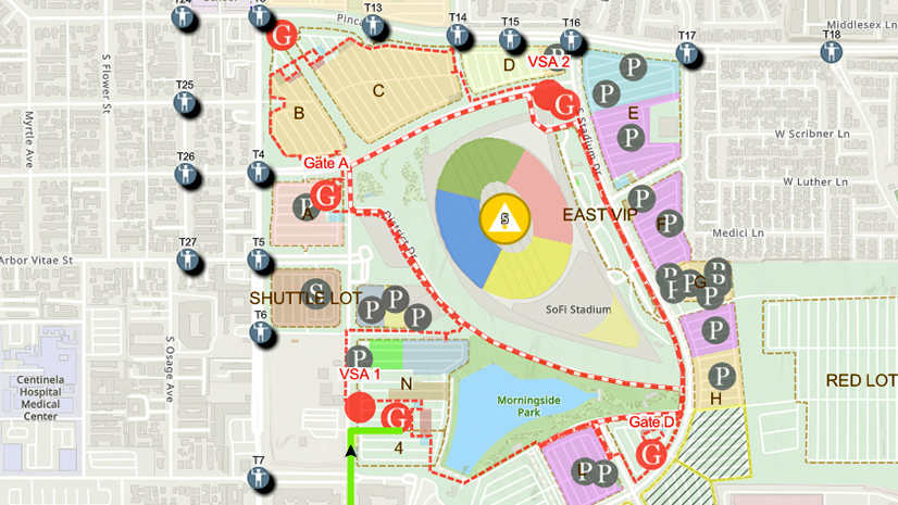
One City, One Common Operating Picture: How Inglewood Used ArcGIS to Support World Cup Operations
As FIFA World Cup 2026 hit North America, Inglewood, CA had its own high-stakes story: how technology helped the city keep pace.

Esri AEC|
How Stantec and Denver Used GIS to Transform Community Engagement
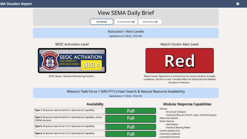
From Firehose to Focus: How Missouri SEMA Modernized Situational Awareness with GIS
Multiple Authors|
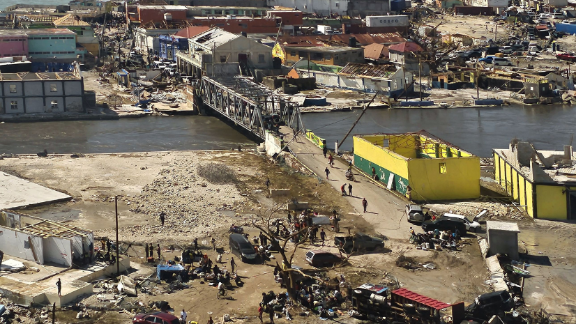
Jamaica’s Preparedness and GIS Readiness Drove a Successful Hurricane Melissa Response

From Top-Down Systems to a Local–National Mesh
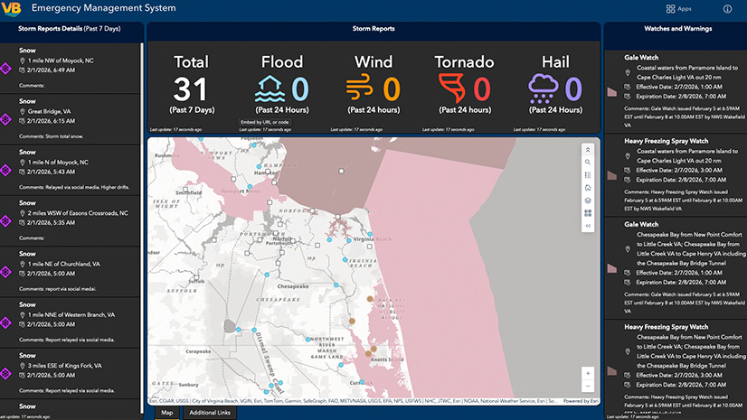
Expert Advice: Virginia Beach Emergency Management’s Top Tips for Transitioning Incident Management Systems
Esri Water|
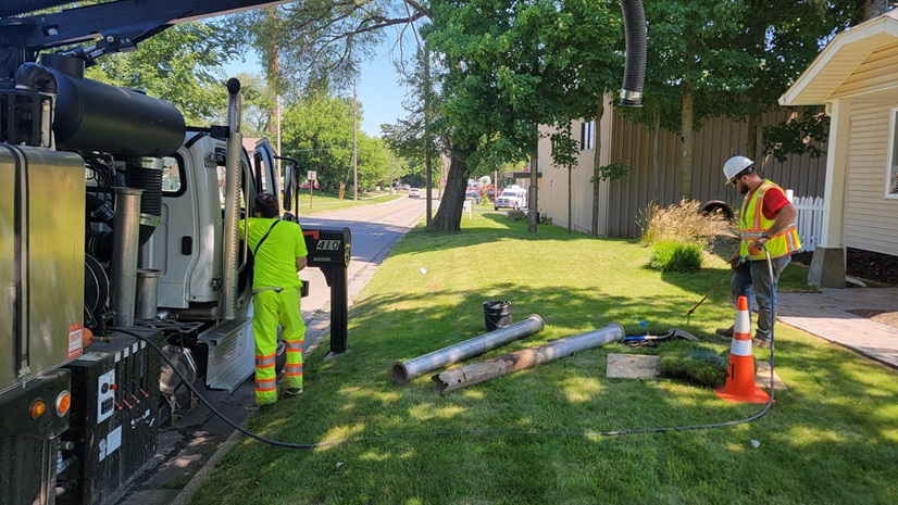
Potholing and GIS: Prioritization Planning for Lead Service Line Replacement
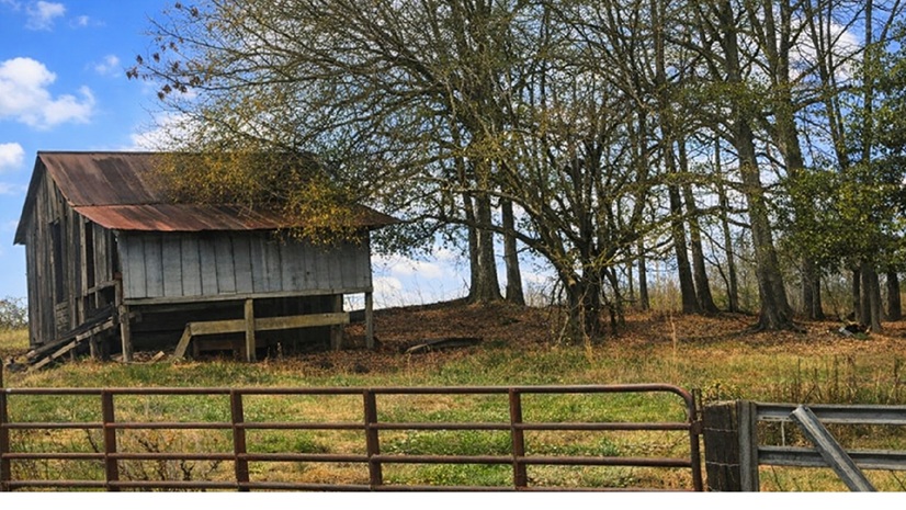
Agriculture Intelligence (AgI): Lessons from “Old School” Artificial Intelligence (AI)
Esri Water|
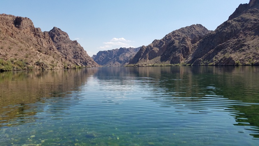
GIS-Driven Automation Transforms SSO Monitoring at Clark County Water Reclamation District

Esri Water|
Mapping Leaks, Saving Water: MAWC’s GIS-Powered Leak Detection Strategy
Esri Water|
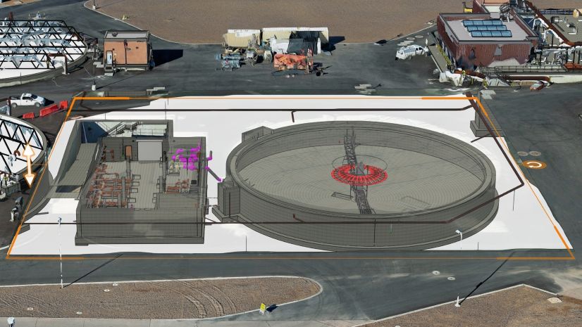
Clark County Water Reclamation District Transforms Wastewater Operations with ArcGIS Indoors and Digital Twin Technology
Esri Water|
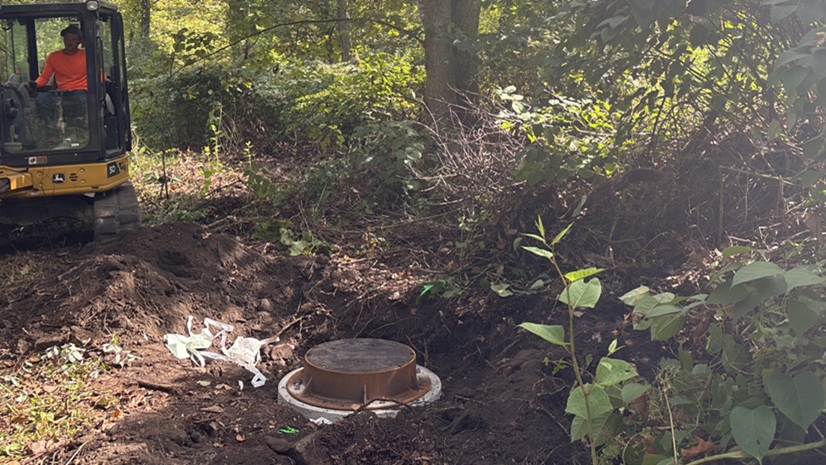
From Hard to Find to Hard to Miss: Mapping Manholes in Rural West Virginia