Most recent
One Company, Two Utilities: Utility Network Assessment
TXNM combined PNM and TNMP GIS's using the ArcGIS Utility Network.
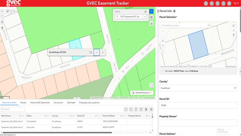
Guadalupe Valley Electric Cooperative Streamlines Easement Tracking
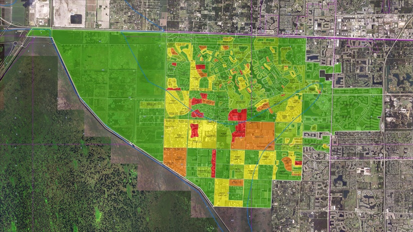
Location Empowers Environmental Consulting: A Journey with Geospatial Solutions

Esri Extends its Decades-Long Support for the GPN with a Wide Variety of Resources at GIS-Pro in the Rockies 2025

Esri Telecommunication Team|
Omantel Redefines Market Intelligence Through Location-Driven Strategy

The 2025 NRPA Conference: Helping Parks and Recreation Professionals Plan for the Next Generation

Madison Musgrave|
Twenty Years After Katrina, GIS Continues to Support Hurricane Preparedness and Response

5 Reasons to Attend the Next Esri Equity & Social Justice Seminar
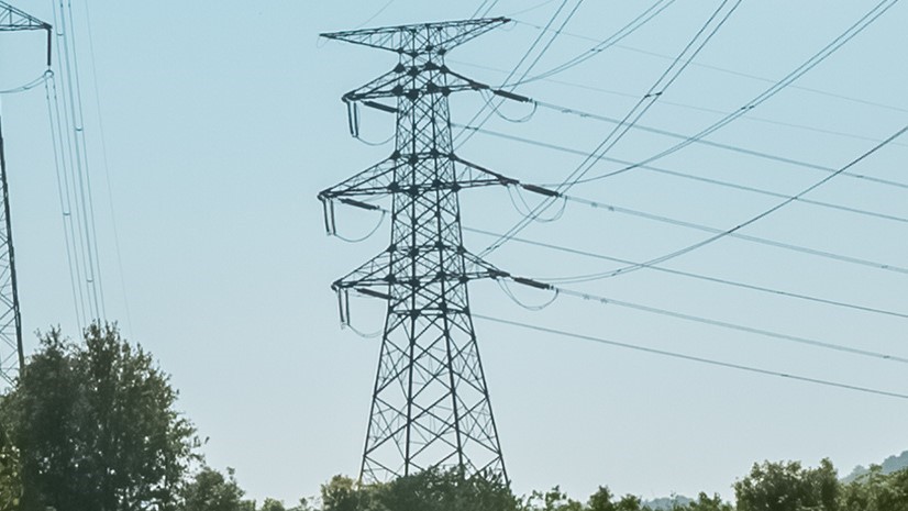
CIPCO Connects the Dots: Smarter Grids with GIS Insight
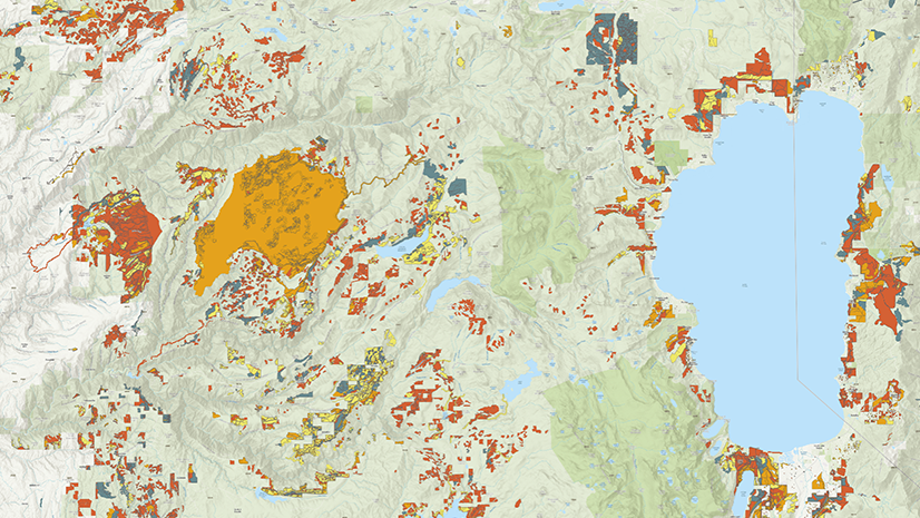
A New National Platform Transforms Wildfire Data into Actionable Insights

The Hidden Complexity of Data Center Siting

Esri Water|
City of Round Rock Streamlines Permitting and Asset Life Cycle Management with GIS-centric Trimble Solutions