
Most recent
One Company, Two Utilities: Utility Network Assessment
TXNM combined PNM and TNMP GIS's using the ArcGIS Utility Network.
A New Way to Consider HUMINT Operations in the Modern Era

Lorraine Tighe|
From Signals to Solutions: NISAR and GIS Empower Earth Monitoring

Esri AEC|
Transforming Major Infrastructure and Tunneling Projects with ArcGIS
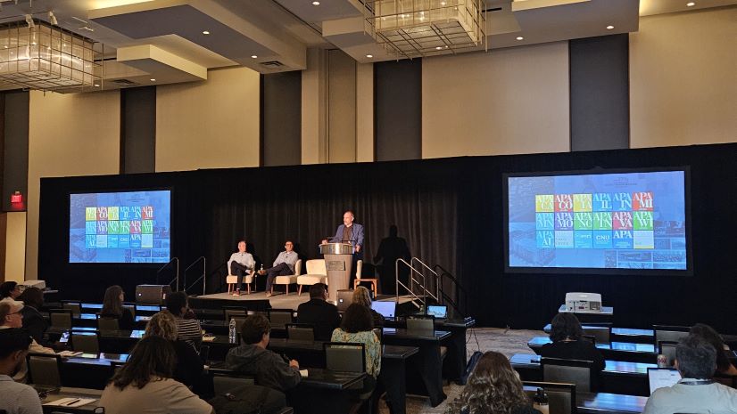
Planning Directors Summit 2025: Thoughts from the 2nd Annual Event
Multiple Authors|
South Carolina National Guard Leverages ArcGIS for Hurricane Recovery Efforts
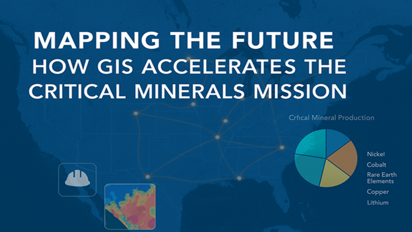
Mapping the Future: How GIS Accelerates the Critical Minerals Mission

The Essential Role of Regional Economic Development in Building Resilient and Thriving Communities
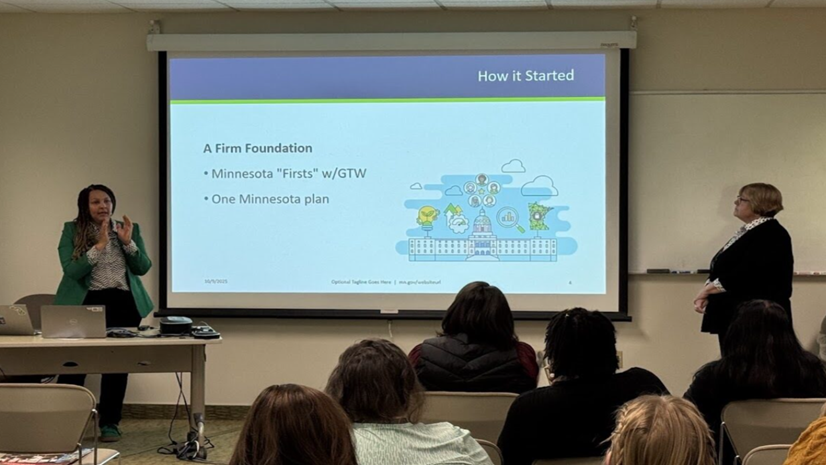
What We Learned in Minneapolis: Five Takeaways from Esri's Equity Seminar
Esri Water|
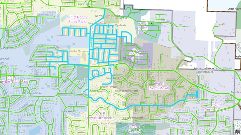
Tualatin Valley Water District Applies Utility Network Tracing to Drive Smarter Capital Planning
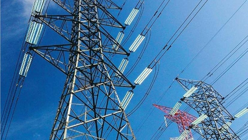
Smarter Land Planning with GIS at TNB: The GeoLVI Story
Esri Water|
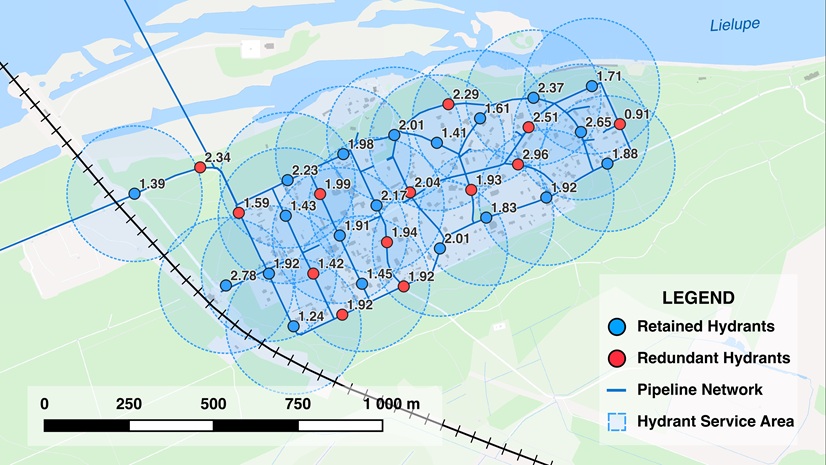
The Path to Geoenabled Asset Management: A Case Study of Jūrmala’s Hydrants

Esri Water|