Most recent
One Company, Two Utilities: Utility Network Assessment
TXNM combined PNM and TNMP GIS's using the ArcGIS Utility Network.
Multiple Authors|
Dayton Fire's Unified Command Using ArcGIS Mission

Esri Brings Next-Gen Public Works to PWX 2025
Madison Musgrave|
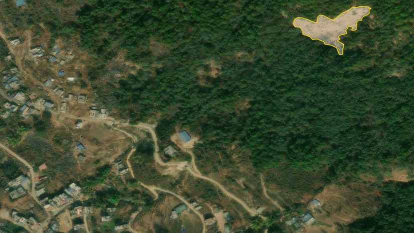
Mapping Humanitarian Open Space for Disaster Preparedness and Response

Facsa’s GIS Journey: From Paper Maps to a Spatial Digital Twin

On the Way to the Connected Digital Twin: DB Systel Relies on GIS and Location Services

Empowering the Future of Environmental Consulting with Geospatial Innovation
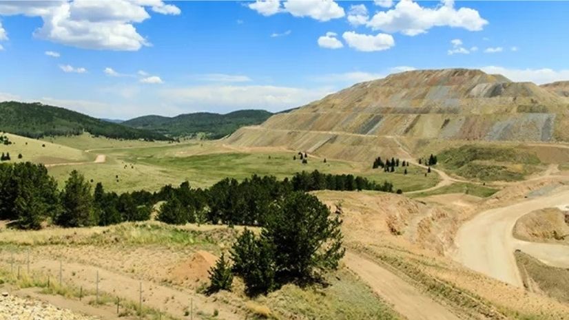
Mapping for Mine Closure: Why GIS is the Key to Sustainable Reclamation
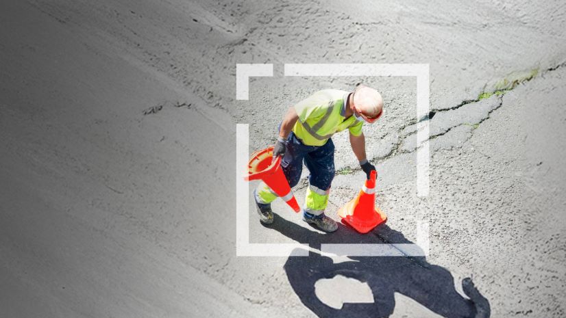
Headed to APWA’s PWX? Stop by Esri to Learn How Next-Generation Public Works is Powered by ArcGIS
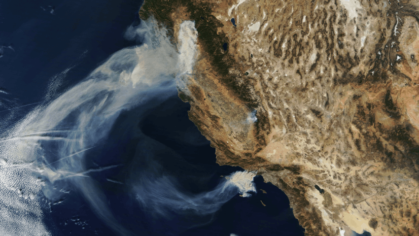
Seeing the Big Picture: Remote Sensing in the Wildfire Technology Toolkit

Showrooming: At a Grocer Near You.

ICSC Las Vegas 2025: Retail’s Data-Driven Evolution