Most recent
One Company, Two Utilities: Utility Network Assessment
TXNM combined PNM and TNMP GIS's using the ArcGIS Utility Network.
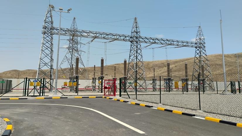
Empowering OETC with Self-Service GIS Solutions

How to Craft a Standout Abstract for the Esri User Conference
Esri Water|
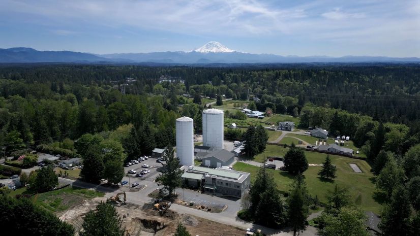
Covington Water District Manages Vast Water Assets with GIS at the Center

Esri Brings Next-Generation Public Works to the Community
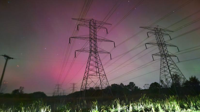
ArcGIS: ITC’s Smart Defense

Multiple Authors|
Leveraging Agriculture Intelligence to Ensure EUDR Compliance in the African Coffee Industry

Why AEC Firms Should Move from Desktop Licenses to Named User Licensing for ArcGIS

Esri Water|
System Sunset, Scramble, and Solution: A GIS Survival Story

Headed to Trimble Innovate 2025? Be Sure to Connect with Esri!
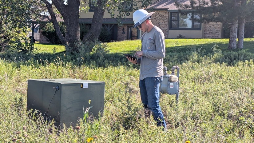
Enhancing Inspection Workflows for an Electric Cooperative
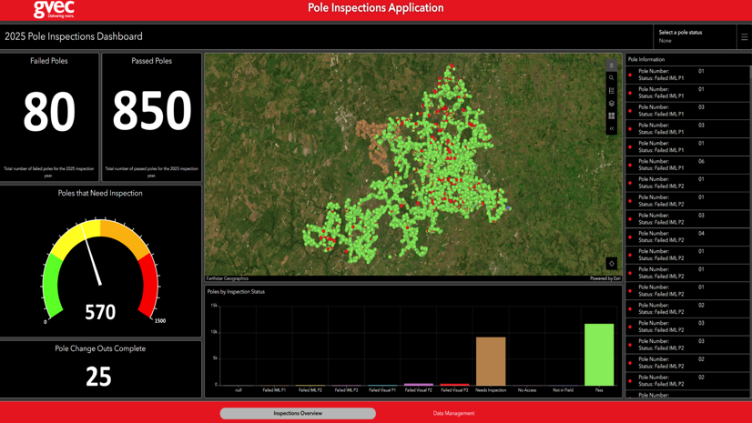
Inspecting with Ease: GVEC’s Journey to Efficient Pole Inspections