Most recent
One Company, Two Utilities: Utility Network Assessment
TXNM combined PNM and TNMP GIS's using the ArcGIS Utility Network.

TenneT Uses 3D GIS to Manage Grid Complexity

Reflections from Esri UC 2026: AI, GIS, and the Future of Mining
Convert Congested Curbs into Intelligent Airport Operations

Positioning HMLP for the Future with ArcGIS Utility Network

Multiple Authors|
From Arc-Curious to Arc-Confident: AEC Enterprise Edition (Part 2)

Weather Intelligence for Airports: Turning Data into Action and Content into Currency

Esri Water|
From Legacy Water Meter Replacement to Smart Metering with GIS
Esri Water|
How YVWD Turned Leak Reporting into Actionable Water Intelligence
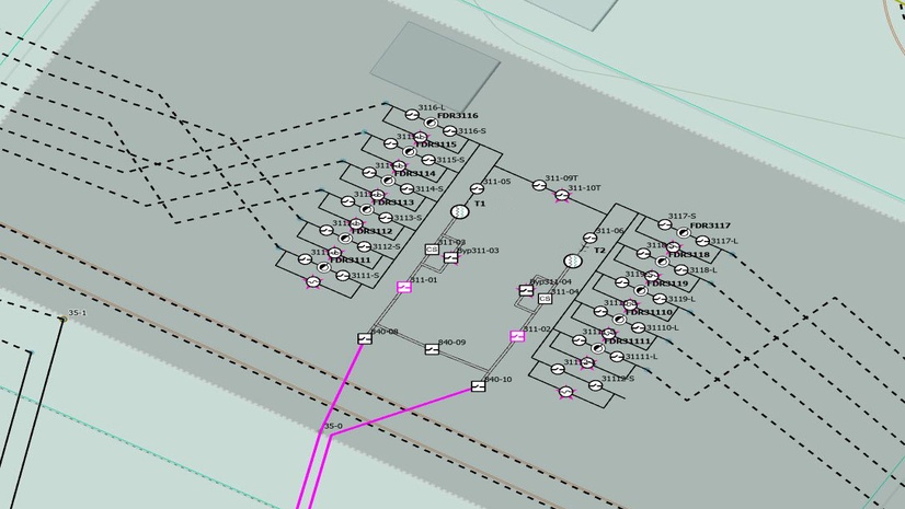
CORE Enables Digital Twin to Support New Generation Options
Connecting Our Work Through Location
ArcGIS as a Planning System - Q2 Update