Most recent
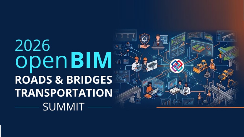
Building Momentum for GIS + openBIM: What We Heard at the buildingSMART US Roads and Bridges Event
Recap from buildingSMART US Roads & Bridges: how GIS and openBIM together power connected digital delivery for transportation infrastructure.

Mapping with Greater Precision Where It Matters Most

Esri Water|
Future-Proofing Integration at Middlesex Water Company
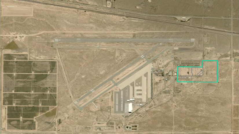
GIS Turns Airport Land into a Managed Construction Asset

See What Others Can’t - Making the Airport Experience Accessible with GIS

Esri AEC|
Better Together: Connected Infrastructure at AU 2026
Esri AEC|
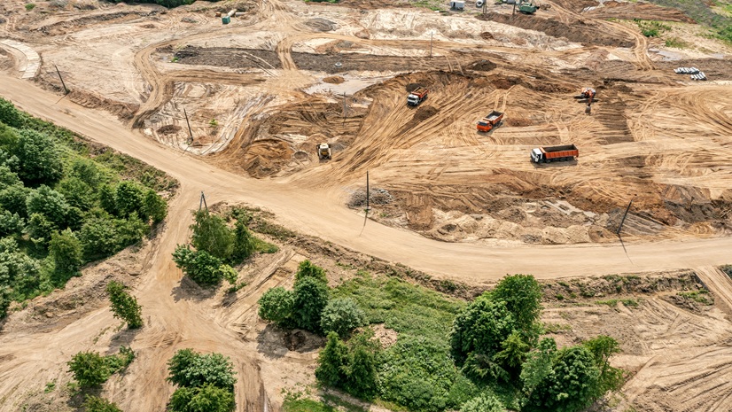
ES2 Helps USACE Gain Real-Time Visibility Across Critical Infrastructure Projects

WSP Automates Arctic GPR Workflow with ArcGIS
Esri Water|
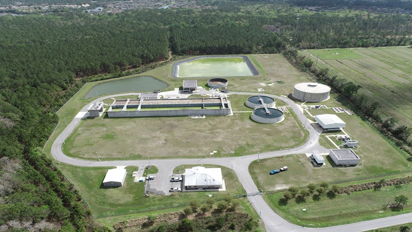
Modernizing GIS in St. Johns County with Utility Network
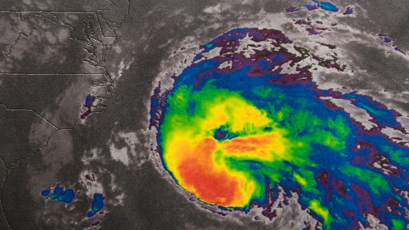
How Security Professionals Gain Precious Time with Advanced Weather Intelligence
Greer CPW Protects Critical Knowledge with ArcGIS Utility Network

Angel Baltazar| August 27, 2026
When Boundaries Become Bridges: How GIS Is Advancing Homelessness Response in Los Angeles
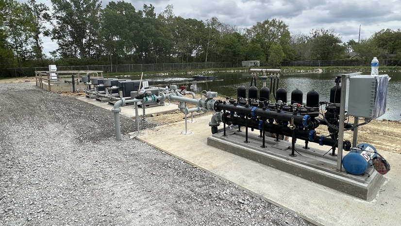
Esri Water|