Most recent
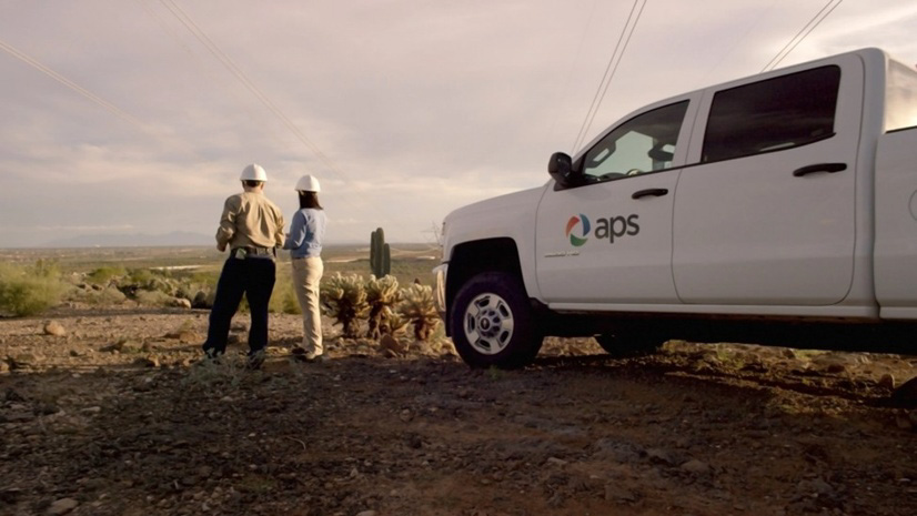
One Company, Two Utilities: Utility Network Assessment
TXNM combined PNM and TNMP GIS's using the ArcGIS Utility Network.

Lorraine Tighe|
Grounded in Maine: What a Geologic Mapping Gathering Reminded Me About Purpose
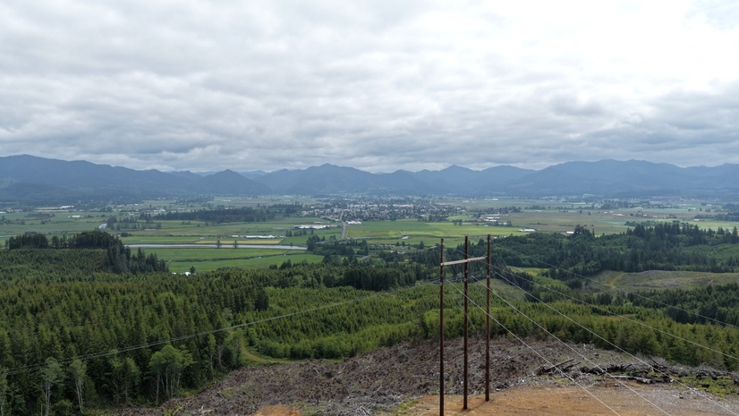
Enterprise GIS Drives Efficiency at Tillamook PUD
Plan Your Time at the Esri UC: National Government, Public Safety, and National Security

Powered by Place: RiseSpot

Public Works at the 2026 Esri International User Conference

HOTEC Improves Grid Visibility with ENER-i and ArcGIS
Esri AEC|
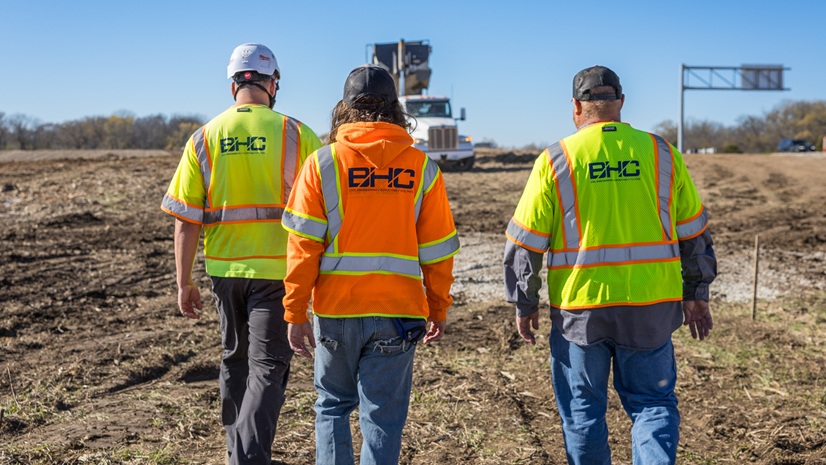
BHC Enhances Construction Inspection with Field Maps Station and Offset Functionality

Esri Debuts New Resources for Guiding Your Way to Enterprise GIS

Multiple Authors|
From Arc-Curious to Arc-Confident: AEC Enterprise Edition
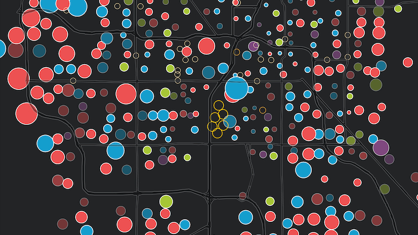
ICSC Las Vegas 2026: Confidence Returns and PropTech Takes Center Stage

Mapping the Future of Energy: Energy Resources GIS Conference Recap