Most recent
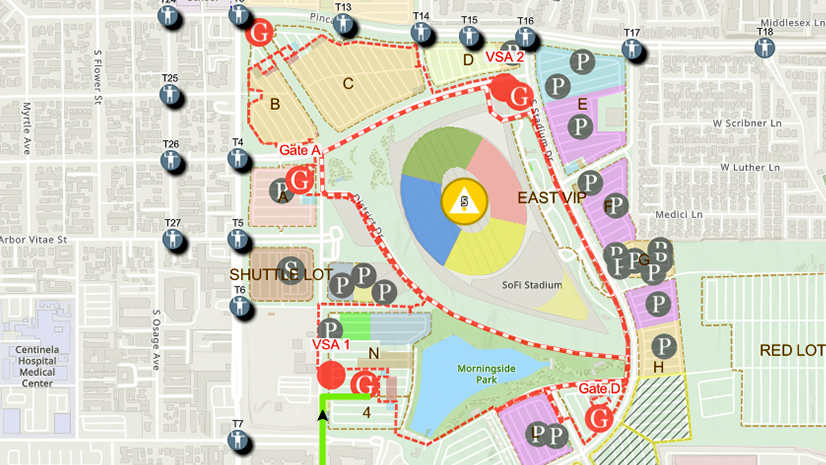
One City, One Common Operating Picture: How Inglewood Used ArcGIS to Support World Cup Operations
As FIFA World Cup 2026 hit North America, Inglewood, CA had its own high-stakes story: how technology helped the city keep pace.
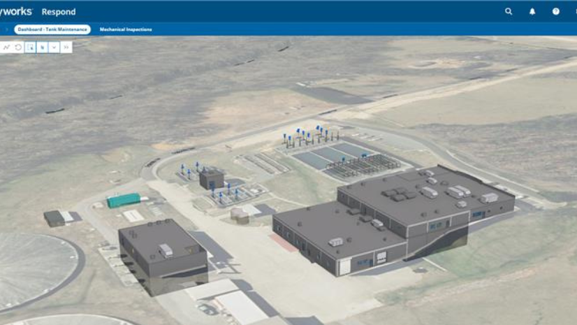
How Concord Water Facility Unified BIM, GIS, and 3D Workflows

Christa Campbell|
Get to Know Esri's Water Team

Mapping Stewardship: Tribal Pathways to Carbon & Co-Benefits
Esri Water|
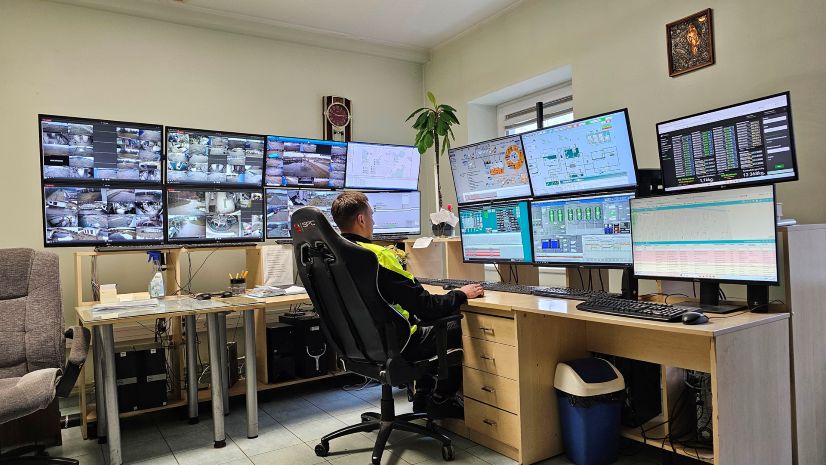
Revolutionizing Water Utility Dispatch: AI-Driven Automation and Spatial Intelligence at UAB Kretingos vandenys
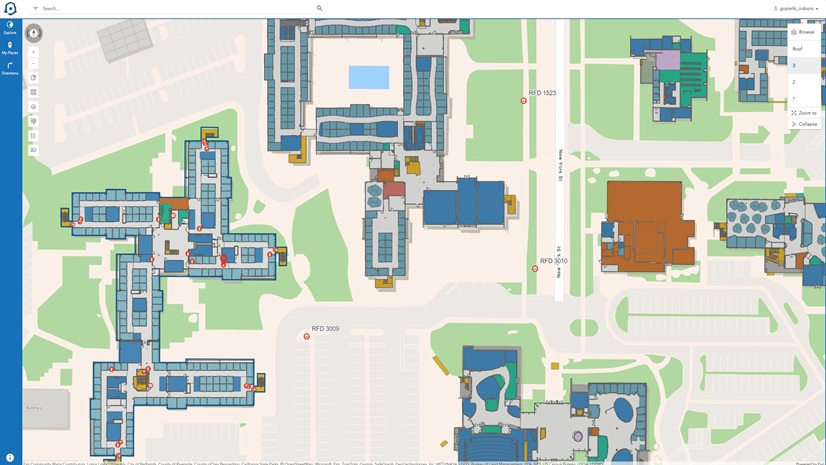
Indoor GIS and the Role It Plays in Operational Digital Twins
Esri Water|
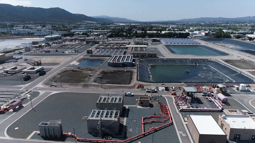
Mapping the Invisible: How EMWD Modernized Plant Management with GIS
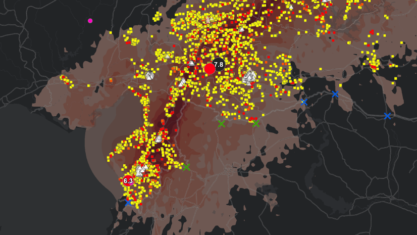
GIS, Risk, and the Triple Nexus
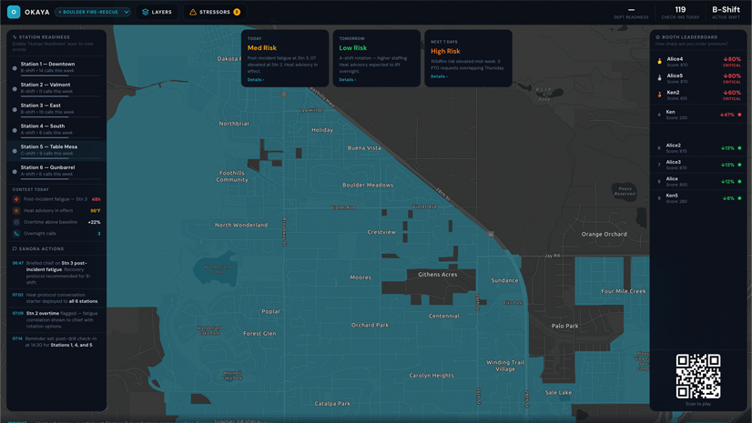
The Layer You’re Missing

GIS Vision: Comprehensive GIS Solutions for Pasadena Power
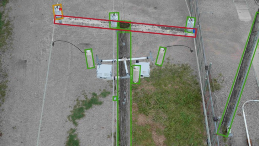
Dominion Energy Distribution Team Improves Reliability with Drones, Imagery Management, GIS, and visual Intelligence
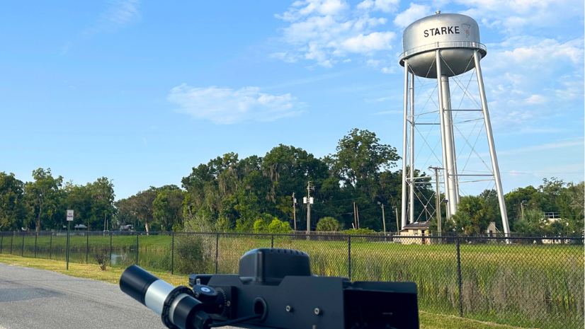
City of Skarke, Florida, Achieves Big Impact with Imagery, AI, and GIS